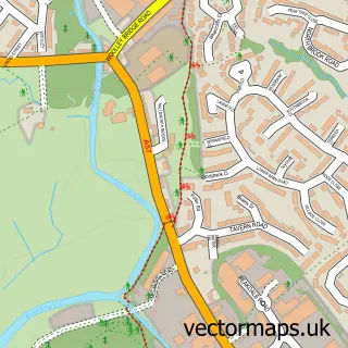
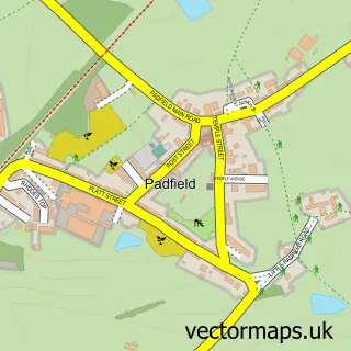
This Charlesworth street map is a detailed vector street map covering a 750m x 750m area. Select a larger area to create and download your own vector street map of Charlesworth.
The 750-metre map sample for Charlesworth covers 243 mapped buildings and approximately 12.3 km of road detail, of which 14 named roads are named. The immediate area includes 1 school, 5 GP surgeries within 2 miles, 2 pubs and 1 MOT station, with 9 within 2 miles. The wider area around Charlesworth features 2 food and drink venues. To create a larger or custom map of Charlesworth, the map builder lets you define your own coverage area and download editable SVG, PDF and PNG files.
Create a larger editable map of Charlesworth
Choose any area you need and generate a high-quality vector map instantly. Perfect for print, planning, design, business and personal use.

This Charlesworth street map in Derbyshire is available as downloadable SVG, PDF and PNG map files, or as a printed map for planning, business, display, education, local information and design work. You can also create a larger custom map area using the map selector.
What this Charlesworth map sample shows
Charlesworth lies within Charlesworth Cp parish, part of St John's ward in the High Peak District (B) local authority area. The postcode geography for this area includes the SK postcode area, the SK13 postcode district and the SK13 5 postcode sector. Residents fall under the Nhs Derby And Derbyshire Integrated Care Board for NHS services.
Local features near Charlesworth
Within 2 milesAmenities and services in and around Charlesworth.
Administrative and postcode information for Charlesworth
Charlesworth lies within Charlesworth Cp parish, part of St John's ward in the High Peak District (B) local authority area. The postcode geography for this area includes the SK postcode area, the SK13 postcode district and the SK13 5 postcode sector. Residents fall under the Nhs Derby And Derbyshire Integrated Care Board for NHS services.
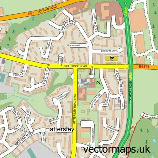
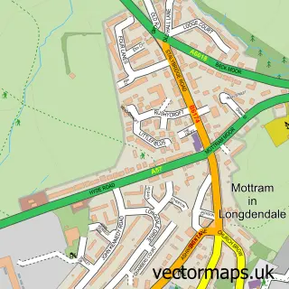
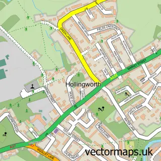
Nearby street map samples around Charlesworth

More street maps in Derbyshire
750 metre map area coverage
Boundary, postcode and point of interest information for the 750m x 750m rectangle centred on this sample map.
Boundaries containing map centre
Constituency: High Peak Co Const
County: Derbyshire County
District: High Peak District (B)
Icb: NHS Derby and Derbyshire ICB
Parish: Charlesworth CP
Police Force: derbyshire
Postcode District: SK13
Postcode Sector: SK13 5
Ward: St. John's Ward
Nearby boundaries intersecting sample
No additional intersecting boundaries found.
Postcode coverage
POI category counts
Post Office: 2
Pub: 2
Anglican Church: 1
Arts And Crafts: 1
Auto Loan Provider: 1
Automotive Dealer: 1
Automotive Repair: 1
Bakery: 1
Baptist Church: 1
Bar: 1
Sample points of interest
- St John the Evangelist, (St John's Charlesworth)
- Woolshopdirect | Charlesworth
- West Park Financial Services
- NG Automotive
- Charlesworth Motors
- Bake & Muffin
- Trinity Baptist Church
- The Grey Mare
- Trailplus Ltd.
- Charlesworth Village Store
- Trailplus
- Charlesworth and Chisworth Cricket Club
Create a larger editable map of Charlesworth
This sample shows only a 750 metre area. To create a larger map of Charlesworth, use our map builder to choose your own coverage area, add titles and download editable SVG, PDF and PNG files.
Create a custom map of Charlesworth