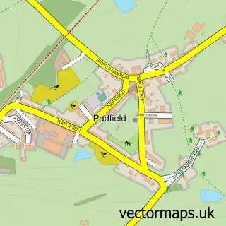
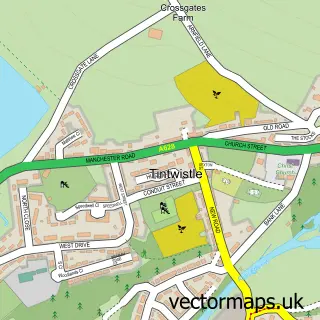
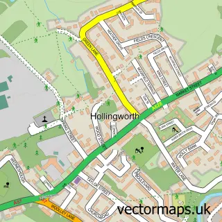
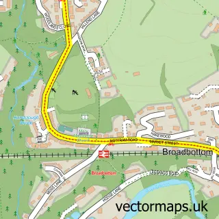
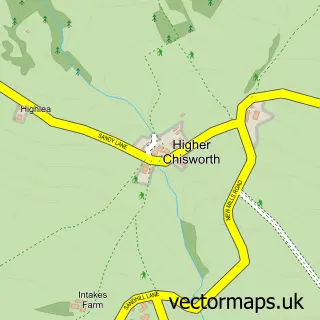
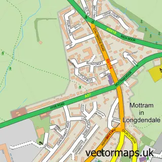
This Glossop street map is a detailed vector street map covering a 750m x 750m area. Select a larger area to create and download your own vector street map of Glossop.
The 750-metre map sample for Glossop covers 383 mapped buildings and approximately 33.6 km of road detail, of which 62 named roads are named. The immediate area includes 2 schools, 1 railway station, 1 GP surgery, with 4 within 2 miles and 17 pubs among other local services. The wider area around Glossop features 3 tourism points of interest, 39 food and drink venues and 3 hotels. To create a larger or custom map of Glossop, the map builder lets you define your own coverage area and download editable SVG, PDF and PNG files.
Create a larger editable map of Glossop
Choose any area you need and generate a high-quality vector map instantly. Perfect for print, planning, design, business and personal use.

This Glossop street map in Derbyshire is available as downloadable SVG, PDF and PNG map files, or as a printed map for planning, business, display, education, local information and design work. You can also create a larger custom map area using the map selector.
What this Glossop map sample shows
Glossop lies within Derbyshire County parish, part of Howard Town ward in the High Peak District (B) local authority area. The postcode geography for this area includes the SK postcode area, the SK13 postcode district and the SK13 8 postcode sector. Residents fall under the Nhs Derby And Derbyshire Integrated Care Board for NHS services.
Local features near Glossop
Within 2 milesAmenities and services in and around Glossop.
Administrative and postcode information for Glossop
Glossop lies within Derbyshire County parish, part of Howard Town ward in the High Peak District (B) local authority area. The postcode geography for this area includes the SK postcode area, the SK13 postcode district and the SK13 8 postcode sector. Residents fall under the Nhs Derby And Derbyshire Integrated Care Board for NHS services.
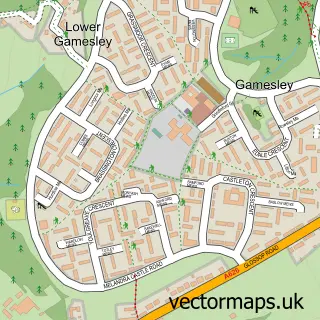
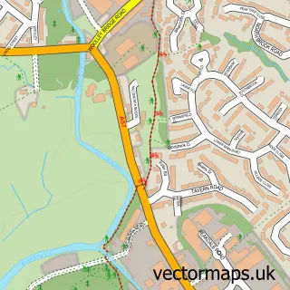
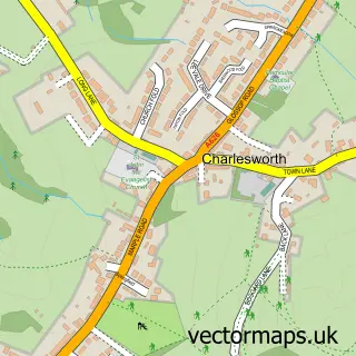
Nearby street map samples around Glossop

More street maps in Derbyshire
750 metre map area coverage
Boundary, postcode and point of interest information for the 750m x 750m rectangle centred on this sample map.
Boundaries containing map centre
Constituency: High Peak Co Const
County: Derbyshire County
District: High Peak District (B)
Icb: NHS Derby and Derbyshire ICB
Police Force: derbyshire
Postcode District: SK13
Postcode Sector: SK13 8
Ward: Howard Town Ward
Nearby boundaries intersecting sample
Postcode Sector: SK13 7
Ward: Dinting Ward, Whitfield Ward
Postcode coverage
POI category counts
Beauty Salon: 21
Pub: 17
Hair Salon: 15
Cafe: 10
Flowers And Gifts Shop: 10
Bar: 9
Beauty And Spa: 9
Gym: 9
Charity Organization: 8
Italian Restaurant: 8
Sample points of interest
- Harrison Hinchliffe Accountants
- Indigo Blue Accountancy Services
- Lomas and Company
- Pape D J Associates
- Neulife Health And Fitness
- Amershams Digital Marketing Glossop
- BSA Marketing
- Bbcomm
- Bunting Design
- Dark Peak Digital
- Ann & Joanne's Therapies
- Manos Y Flores
Create a larger editable map of Glossop
This sample shows only a 750 metre area. To create a larger map of Glossop, use our map builder to choose your own coverage area, add titles and download editable SVG, PDF and PNG files.
Create a custom map of Glossop