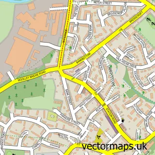
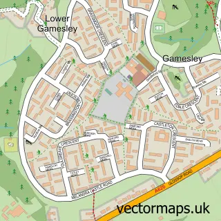
This Tintwistle street map is a detailed vector street map covering a 750m x 750m area. Select a larger area to create and download your own vector street map of Tintwistle.
The 750-metre map sample for Tintwistle covers 232 mapped buildings and approximately 19.5 km of road detail, of which 24 named roads are named. The immediate area includes 1 school, 4 GP surgeries within 2 miles, 1 pub and 4 MOT stations within 2 miles. The wider area around Tintwistle features 4 food and drink venues. To create a larger or custom map of Tintwistle, the map builder lets you define your own coverage area and download editable SVG, PDF and PNG files.
Create a larger editable map of Tintwistle
Choose any area you need and generate a high-quality vector map instantly. Perfect for print, planning, design, business and personal use.

This Tintwistle street map in Derbyshire is available as downloadable SVG, PDF and PNG map files, or as a printed map for planning, business, display, education, local information and design work. You can also create a larger custom map area using the map selector.
What this Tintwistle map sample shows
Tintwistle lies within Tintwistle Cp parish, part of Tintwistle ward in the High Peak District (B) local authority area. The postcode geography for this area includes the SK postcode area, the SK13 postcode district and the SK13 1 postcode sector. Residents fall under the Nhs Derby And Derbyshire Integrated Care Board for NHS services.
Local features near Tintwistle
Within 2 milesAmenities and services in and around Tintwistle.
Administrative and postcode information for Tintwistle
Tintwistle lies within Tintwistle Cp parish, part of Tintwistle ward in the High Peak District (B) local authority area. The postcode geography for this area includes the SK postcode area, the SK13 postcode district and the SK13 1 postcode sector. Residents fall under the Nhs Derby And Derbyshire Integrated Care Board for NHS services.
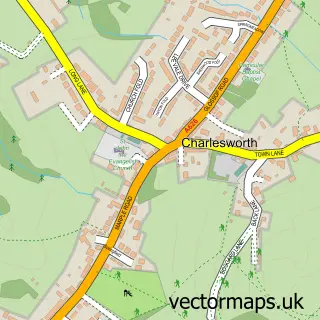
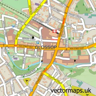
Nearby street map samples around Tintwistle

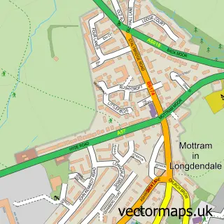
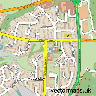
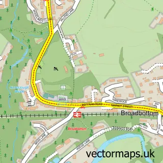
More street maps in Derbyshire
750 metre map area coverage
Boundary, postcode and point of interest information for the 750m x 750m rectangle centred on this sample map.
Boundaries containing map centre
Constituency: High Peak Co Const
County: Derbyshire County
District: High Peak District (B)
Icb: NHS Derby and Derbyshire ICB
Parish: Tintwistle CP
Police Force: derbyshire
Postcode District: SK13
Postcode Sector: SK13 1
Ward: Tintwistle Ward
Nearby boundaries intersecting sample
Parish: Charlesworth CP
Ward: St. John's Ward
Postcode coverage
POI category counts
Social Service Organizations: 3
Cafe: 2
Car Wash: 2
Professional Services: 2
Active Life: 1
Auto Electrical Repair: 1
Automotive Dealer: 1
Bakery: 1
Beer Wine And Spirits: 1
Burger Restaurant: 1
Sample points of interest
- Arnfield Fly Fisheries
- Northern Security Installations Ltd.
- Vans2go
- Pixie Bakes Cakery and Coffee Shop
- Tintwistle Village Store
- LIB’S Barbecue
- Arnfield Fly Fishery Cafe and Restaurant
- Cafe at the carwash
- Tintwistle Garage
- Tintwistle Hand Car Wash
- Christ Church Tintwistle
- John R Crossland Construction
Create a larger editable map of Tintwistle
This sample shows only a 750 metre area. To create a larger map of Tintwistle, use our map builder to choose your own coverage area, add titles and download editable SVG, PDF and PNG files.
Create a custom map of Tintwistle