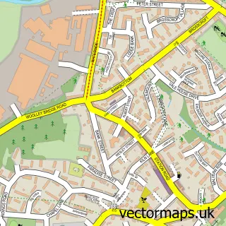
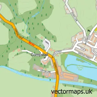
This Broadbottom street map is a detailed vector street map covering a 750m x 750m area. Select a larger area to create and download your own vector street map of Broadbottom.
The 750-metre map sample for Broadbottom covers 183 mapped buildings and approximately 9.6 km of road detail, of which 21 named roads are named. The immediate area includes 1 school, 1 railway station, 5 GP surgeries within 2 miles and 1 pub among other local services. The wider area around Broadbottom features 3 tourism points of interest and 1 food and drink venue. To create a larger or custom map of Broadbottom, the map builder lets you define your own coverage area and download editable SVG, PDF and PNG files.
Create a larger editable map of Broadbottom
Choose any area you need and generate a high-quality vector map instantly. Perfect for print, planning, design, business and personal use.

This Broadbottom street map in Greater Manchester is available as downloadable SVG, PDF and PNG map files, or as a printed map for planning, business, display, education, local information and design work. You can also create a larger custom map area using the map selector.
What this Broadbottom map sample shows
Broadbottom lies within Tameside District (B) parish, part of Longdendale ward in the Tameside District (B) local authority area. The postcode geography for this area includes the SK postcode area, the SK14 postcode district and the SK14 6 postcode sector. Residents fall under the Nhs Greater Manchester Integrated Care Board for NHS services.
Local features near Broadbottom
Within 2 milesAmenities and services in and around Broadbottom.
Administrative and postcode information for Broadbottom
Broadbottom lies within Tameside District (B) parish, part of Longdendale ward in the Tameside District (B) local authority area. The postcode geography for this area includes the SK postcode area, the SK14 postcode district and the SK14 6 postcode sector. Residents fall under the Nhs Greater Manchester Integrated Care Board for NHS services.
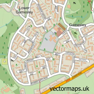
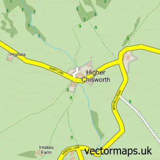
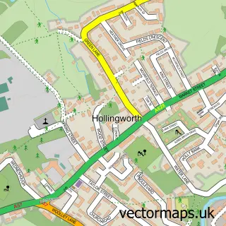
Nearby street map samples around Broadbottom

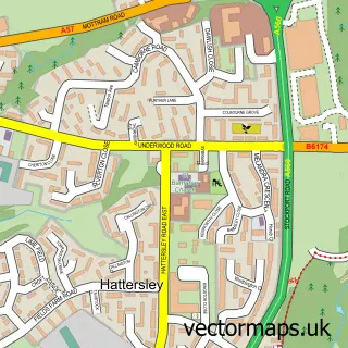
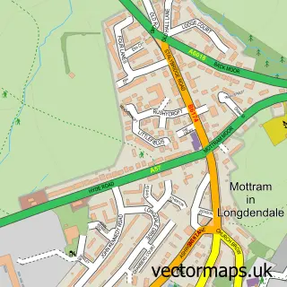
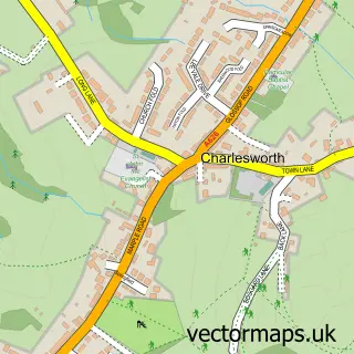
More street maps in Greater Manchester
750 metre map area coverage
Boundary, postcode and point of interest information for the 750m x 750m rectangle centred on this sample map.
Boundaries containing map centre
Constituency: Stalybridge and Hyde Co Const
District: Tameside District (B)
Icb: NHS Greater Manchester ICB
Police Force: greater manchester
Postcode District: SK14
Postcode Sector: SK14 6
Ward: Longdendale Ward
Nearby boundaries intersecting sample
Constituency: High Peak Co Const
County: Derbyshire County
District: High Peak District (B)
Icb: NHS Derby and Derbyshire ICB
Parish: Charlesworth CP
Police Force: derbyshire
Postcode District: SK13
Postcode Sector: SK13 5, SK14 3
Ward: St. John's Ward
Postcode coverage
POI category counts
Package Locker: 2
Train Station: 2
Attractions And Activities: 1
Beauty Salon: 1
Community Center: 1
Cottage: 1
Education: 1
Electrician: 1
Elementary School: 1
Hair Salon: 1
Sample points of interest
- Etherow Bowling and Activity Centre
- Louminous
- The Magdalene Centre
- Archway Cottage
- Skills Training Group First Aid Courses Leeds
- G Yarwood
- Broadbottom C of E Primary School
- Hair Gallery
- Merry Maids Of Manchester East
- Tigellae • The Travelling Trattoria •
- Broadbottom
- Amazon Locker - collatino
Create a larger editable map of Broadbottom
This sample shows only a 750 metre area. To create a larger map of Broadbottom, use our map builder to choose your own coverage area, add titles and download editable SVG, PDF and PNG files.
Create a custom map of Broadbottom