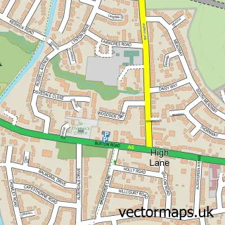
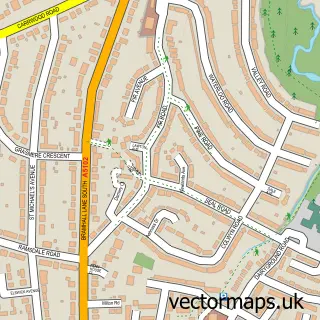
This Hazel Grove street map is a detailed vector street map covering a 750m x 750m area. Select a larger area to create and download your own vector street map of Hazel Grove.
The 750-metre map sample for Hazel Grove covers 392 mapped buildings and approximately 18.3 km of road detail, of which 47 named roads are named. The immediate area includes 1 railway station, 1 GP surgery, with 5 within 2 miles, 11 pubs and 2 MOT stations, with 20 within 2 miles. The wider area around Hazel Grove features 4 tourism points of interest and 18 food and drink venues. To create a larger or custom map of Hazel Grove, the map builder lets you define your own coverage area and download editable SVG, PDF and PNG files.
Create a larger editable map of Hazel Grove
Choose any area you need and generate a high-quality vector map instantly. Perfect for print, planning, design, business and personal use.

This Hazel Grove street map in Greater Manchester is available as downloadable SVG, PDF and PNG map files, or as a printed map for planning, business, display, education, local information and design work. You can also create a larger custom map area using the map selector.
What this Hazel Grove map sample shows
Hazel Grove lies within Stockport District (B) parish, part of Hazel Grove ward in the Stockport District (B) local authority area. The postcode geography for this area includes the SK postcode area, the SK7 postcode district and the SK7 4 postcode sector. Residents fall under the Nhs Greater Manchester Integrated Care Board for NHS services.
Local features near Hazel Grove
Within 2 milesAmenities and services in and around Hazel Grove.
Administrative and postcode information for Hazel Grove
Hazel Grove lies within Stockport District (B) parish, part of Hazel Grove ward in the Stockport District (B) local authority area. The postcode geography for this area includes the SK postcode area, the SK7 postcode district and the SK7 4 postcode sector. Residents fall under the Nhs Greater Manchester Integrated Care Board for NHS services.
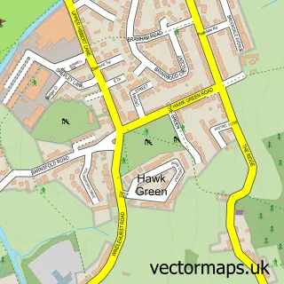
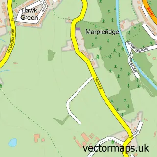
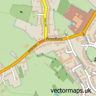
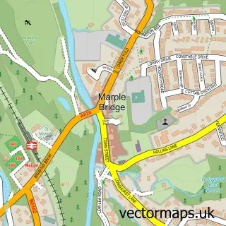
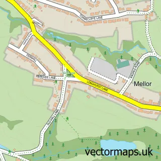
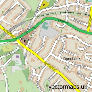
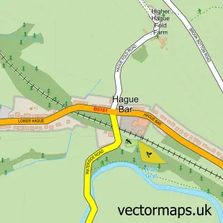
Nearby street map samples around Hazel Grove


More street maps in Greater Manchester
750 metre map area coverage
Boundary, postcode and point of interest information for the 750m x 750m rectangle centred on this sample map.
Boundaries containing map centre
Constituency: Hazel Grove Co Const
District: Stockport District (B)
Icb: NHS Greater Manchester ICB
Police Force: greater manchester
Postcode District: SK7
Postcode Sector: SK7 4
Ward: Hazel Grove Ward
Nearby boundaries intersecting sample
Constituency: Cheadle Boro Const
Postcode Sector: SK7 5, SK7 6
Ward: Norbury & Woodsmoor Ward
Postcode coverage
POI category counts
Beauty Salon: 12
Pub: 11
Automotive Repair: 10
Professional Services: 8
Building Supply Store: 7
Fast Food Restaurant: 7
Hair Salon: 7
Indian Restaurant: 6
Barber: 5
Charity Organization: 5
Sample points of interest
- Karrie Brown Design
- Mirage Display
- Opel Print Services
- Eurolynx Taxis Ltd.
- Martin Davies & Associates
- Fine Homes
- Ceramic Repair Shop
- Aaron's Special
- MaMe's Noodle
- New Charter
- ChipsAway Carcare Stockport Ltd
- Keith Harrison Electrical
Create a larger editable map of Hazel Grove
This sample shows only a 750 metre area. To create a larger map of Hazel Grove, use our map builder to choose your own coverage area, add titles and download editable SVG, PDF and PNG files.
Create a custom map of Hazel Grove