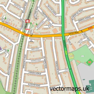
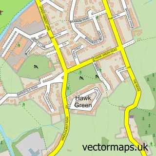
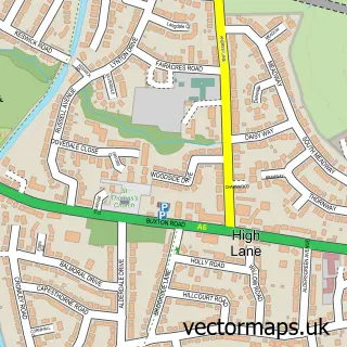
This Stockport street map is a detailed vector street map covering a 750m x 750m area. Select a larger area to create and download your own vector street map of Stockport.
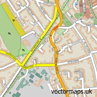
The 750-metre map sample for Stockport covers 169 mapped buildings and approximately 27.8 km of road detail, of which 73 named roads are named. The immediate area includes 2 schools, 1 railway station, 10 GP surgeries within 2 miles and 18 pubs among other local services. The wider area around Stockport features 10 tourism points of interest, 59 food and drink venues and 3 hotels. To create a larger or custom map of Stockport, the map builder lets you define your own coverage area and download editable SVG, PDF and PNG files.
Create a larger editable map of Stockport
Choose any area you need and generate a high-quality vector map instantly. Perfect for print, planning, design, business and personal use.

This Stockport street map in Greater Manchester is available as downloadable SVG, PDF and PNG map files, or as a printed map for planning, business, display, education, local information and design work. You can also create a larger custom map area using the map selector.
What this Stockport map sample shows
Stockport lies within Stockport District (B) parish, part of Manor ward in the Stockport District (B) local authority area. The postcode geography for this area includes the SK postcode area, the SK1 postcode district and the SK1 3 postcode sector. Residents fall under the Nhs Greater Manchester Integrated Care Board for NHS services.
Local features near Stockport
Within 2 milesAmenities and services in and around Stockport.
Administrative and postcode information for Stockport
The local authority covering Stockport is Stockport District (B), within the county of Greater Manchester. The settlement lies within Manor ward and Stockport District (B) civil parish. The SK1 postcode district and SK1 3 postcode sector serve the immediate area. NHS provision in the area is delivered through Stockport Nhs Foundation Trust.
Nearby street map samples around Stockport

More street maps in Greater Manchester
750 metre map area coverage
Boundary, postcode and point of interest information for the 750m x 750m rectangle centred on this sample map.
Boundaries containing map centre
Constituency: Stockport Boro Const
District: Stockport District (B)
Icb: NHS Greater Manchester ICB
Police Force: greater manchester
Postcode District: SK1
Postcode Sector: SK1 3
Ward: Brinnington & Stockport Central Ward
Nearby boundaries intersecting sample
Postcode District: SK3, SK4
Postcode Sector: SK1 1, SK1 2, SK3 0, SK3 8, SK3 9, SK4 1
Ward: Edgeley Ward, Heatons South Ward, Reddish South Ward
Postcode coverage
POI category counts
Employment Agencies: 30
Professional Services: 22
Clothing Store: 19
Financial Service: 19
Fast Food Restaurant: 18
Pub: 18
Beauty Salon: 17
Cafe: 17
Parking: 17
Coffee Shop: 15
Sample points of interest
- Bennett Verby Accountants and Business Advisers
- City-i Accountants & Tax Consultants Limited
- HURST Accountants
- Rohans
- TWD Accountants
- Mean Clean And Lean
- Prime Fitness Clinic
- Swim Academy Greater Manchester
- Acuherbal
- Intelligent Essays
- Lucky Turbo Competitions
- Cheeky Blue
Create a larger editable map of Stockport
This sample shows only a 750 metre area. To create a larger map of Stockport, use our map builder to choose your own coverage area, add titles and download editable SVG, PDF and PNG files.
Create a custom map of Stockport