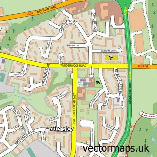
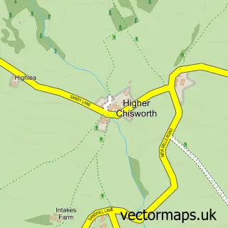
This Haughton Green street map is a detailed vector street map covering a 750m x 750m area. Select a larger area to create and download your own vector street map of Haughton Green.
The 750-metre map sample for Haughton Green covers 401 mapped buildings and approximately 18.0 km of road detail, of which 46 named roads are named. The immediate area includes 1 school, 12 GP surgeries within 2 miles, 3 pubs and 1 MOT station, with 30 within 2 miles. The wider area around Haughton Green features 1 tourism point of interest and 6 food and drink venues. To create a larger or custom map of Haughton Green, the map builder lets you define your own coverage area and download editable SVG, PDF and PNG files.
Create a larger editable map of Haughton Green
Choose any area you need and generate a high-quality vector map instantly. Perfect for print, planning, design, business and personal use.

This Haughton Green street map in Greater Manchester is available as downloadable SVG, PDF and PNG map files, or as a printed map for planning, business, display, education, local information and design work. You can also create a larger custom map area using the map selector.
What this Haughton Green map sample shows
Haughton Green lies within Tameside District (B) parish, part of Denton South ward in the Tameside District (B) local authority area. The postcode geography for this area includes the M postcode area, the M34 postcode district and the M34 7 postcode sector. Residents fall under the Nhs Greater Manchester Integrated Care Board for NHS services.
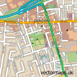
Local features near Haughton Green
Within 2 milesAmenities and services in and around Haughton Green.
Administrative and postcode information for Haughton Green
Haughton Green lies within Tameside District (B) parish, part of Denton South ward in the Tameside District (B) local authority area. The postcode geography for this area includes the M postcode area, the M34 postcode district and the M34 7 postcode sector. Residents fall under the Nhs Greater Manchester Integrated Care Board for NHS services.
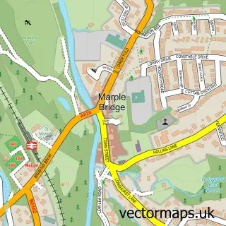
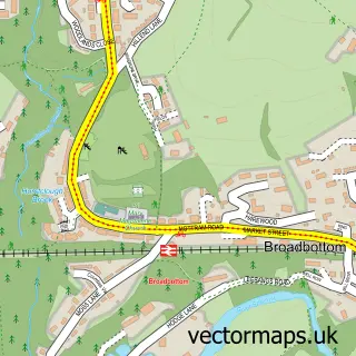
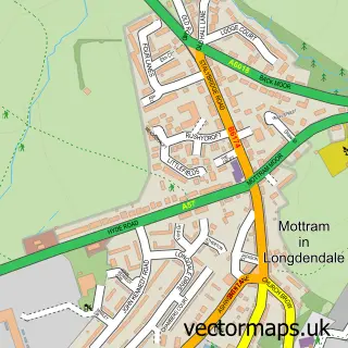
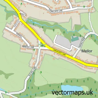
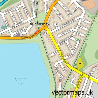
Nearby street map samples around Haughton Green

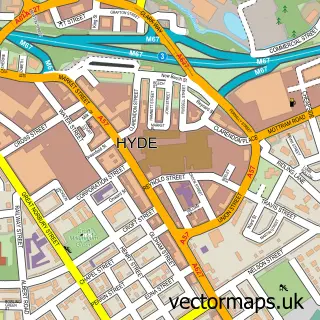
More street maps in Greater Manchester
750 metre map area coverage
Boundary, postcode and point of interest information for the 750m x 750m rectangle centred on this sample map.
Boundaries containing map centre
Constituency: Gorton and Denton Boro Const
District: Tameside District (B)
Icb: NHS Greater Manchester ICB
Police Force: greater manchester
Postcode District: M34
Postcode Sector: M34 7
Ward: Denton South Ward
Nearby boundaries intersecting sample
Constituency: Hazel Grove Co Const
District: Stockport District (B)
Postcode District: SK6
Postcode Sector: SK6 1
Ward: Bredbury & Woodley Ward
Postcode coverage
POI category counts
Pub: 3
Automotive Repair: 2
Bar: 2
Building Supply Store: 2
Butcher Shop: 2
Convenience Store: 2
Dentist: 2
Fish And Chips Restaurant: 2
Hair Salon: 2
Indian Restaurant: 2
Sample points of interest
- St. Mary's Church, Haughton Green
- Knock & Nash
- Yu Yee
- A E Knott Ltd
- Nationwide Coach Assistance
- The Village Bakehouse
- Marston Thompson & Evershed
- The Dining Room
- Max’s Barbers
- Studio109
- Cleopatra's Hair & Beauty
- Assured Roofing & Building Ltd
Create a larger editable map of Haughton Green
This sample shows only a 750 metre area. To create a larger map of Haughton Green, use our map builder to choose your own coverage area, add titles and download editable SVG, PDF and PNG files.
Create a custom map of Haughton Green