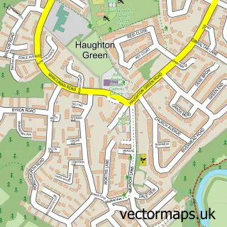
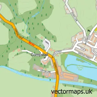
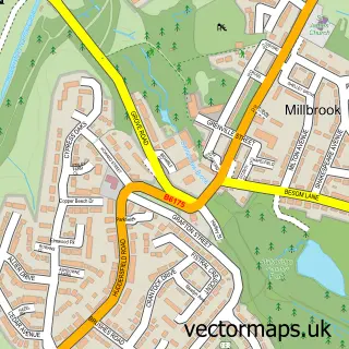
This Denton street map is a detailed vector street map covering a 750m x 750m area. Select a larger area to create and download your own vector street map of Denton.
The 750-metre map sample for Denton covers 449 mapped buildings and approximately 23.2 km of road detail, of which 63 named roads are named. The immediate area includes 1 school, 1 GP surgery, with 13 within 2 miles, 8 pubs and 2 MOT stations, with 40 within 2 miles. The wider area around Denton features 2 tourism points of interest and 33 food and drink venues. To create a larger or custom map of Denton, the map builder lets you define your own coverage area and download editable SVG, PDF and PNG files.
Create a larger editable map of Denton
Choose any area you need and generate a high-quality vector map instantly. Perfect for print, planning, design, business and personal use.

This Denton street map in Greater Manchester is available as downloadable SVG, PDF and PNG map files, or as a printed map for planning, business, display, education, local information and design work. You can also create a larger custom map area using the map selector.
What this Denton map sample shows
Denton lies within Tameside District (B) parish, part of Denton North East ward in the Tameside District (B) local authority area. The postcode geography for this area includes the M postcode area, the M34 postcode district and the M34 3 postcode sector. Residents fall under the Nhs Greater Manchester Integrated Care Board for NHS services.
Local features near Denton
Within 2 milesAmenities and services in and around Denton.
Administrative and postcode information for Denton
Denton lies within Tameside District (B) parish, part of Denton North East ward in the Tameside District (B) local authority area. The postcode geography for this area includes the M postcode area, the M34 postcode district and the M34 3 postcode sector. Residents fall under the Nhs Greater Manchester Integrated Care Board for NHS services.
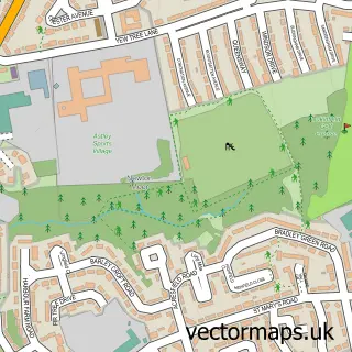
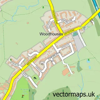
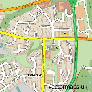
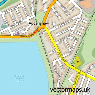
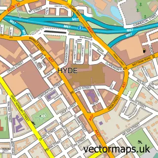
Nearby street map samples around Denton

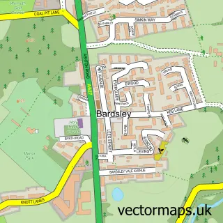
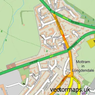
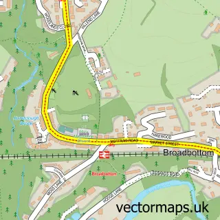
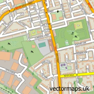
More street maps in Greater Manchester
750 metre map area coverage
Boundary, postcode and point of interest information for the 750m x 750m rectangle centred on this sample map.
Boundaries containing map centre
Constituency: Gorton and Denton Boro Const
District: Tameside District (B)
Icb: NHS Greater Manchester ICB
Police Force: greater manchester
Postcode District: M34
Postcode Sector: M34 2
Ward: Denton North East Ward
Nearby boundaries intersecting sample
Postcode Sector: M34 3, M34 6
Ward: Denton West Ward
Postcode coverage
POI category counts
Beauty Salon: 27
Restaurant: 11
Automotive Repair: 10
Cafe: 10
Fast Food Restaurant: 10
Barber: 9
Beauty And Spa: 9
Professional Services: 8
Pub: 8
Building Supply Store: 7
Sample points of interest
- C N C Chambers & Associates
- TP Business Consultants LLP
- Usher Spiby & Co.
- Active Denton
- Dispense Digital
- Mailing Matters
- Rondar Signs & Graphics
- St Johns Ambulance Station Taylor Lane
- Willow Wood Hospice
- Denton Cenotaph
- JLS Embroidery
- Festival Hall
Create a larger editable map of Denton
This sample shows only a 750 metre area. To create a larger map of Denton, use our map builder to choose your own coverage area, add titles and download editable SVG, PDF and PNG files.
Create a custom map of Denton