Vector Maps logo
Home Why it works Popular maps Districts Samples Customizer Create Your Map
VectorMaps.uk
Home Popular maps Districts Samples Customizer Create Your Map Privacy Disclaimer
Home / UK Maps / Greater Manchester / Droylsden Map

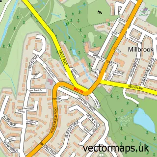
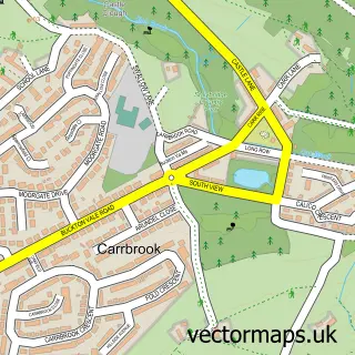
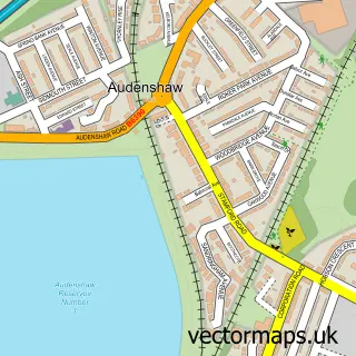
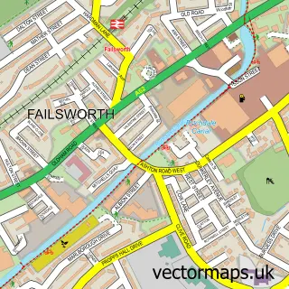
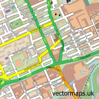
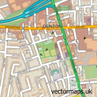
This Droylsden street map is a detailed vector street map covering a 750m x 750m area. Select a larger area to create and download your own vector street map of Droylsden.

Droylsden is a town in Greater Manchester, in the North West of England. Historically, the area formed part of Lancashire. The settlement falls within the Ashton-Under-Lyne parliamentary constituency. It is served by the M43 postcode district, with M43 6

The 750-metre map sample for Droylsden covers 414 mapped buildings and approximately 24.7 km of road detail, of which 75 named roads are named. The immediate area includes 2 schools, 1 railway station, 1 GP surgery, with 16 within 2 miles and 5 pubs among other local services. The wider area around Droylsden features 2 tourism points of interest, 14 food and drink venues and 1 hotel. To create a larger or custom map of Droylsden, the map builder lets you define your own coverage area and download editable SVG, PDF and PNG files.

414Buildings
24.68 kmRoads
75Named roads
51,142Residents within 2 miles
Create your own

Create a larger editable map of Droylsden

Choose any area you need and generate a high-quality vector map instantly. Perfect for print, planning, design, business and personal use.

Choose any location
Editable SVG files
Any size up to A0
PDF, PNG & more
Instant download
High quality guaranteed
Create My Custom Map
Secure, private & no credit card required
Droylsden Vector Street Map
750m Sample
Droylsden vector street map sample showing roads, buildings and local features in a 750 metre preview area
Buy Droylsden Map Print from £12.95 Buy Droylsden Digital Map from £6

This Droylsden street map in Greater Manchester is available as downloadable SVG, PDF and PNG map files, or as a printed map for planning, business, display, education, local information and design work. You can also create a larger custom map area using the map selector.

What this Droylsden map sample shows

Droylsden lies within Tameside District (B) parish, part of Droylsden West ward in the Tameside District (B) local authority area. The postcode geography for this area includes the M postcode area, the M43 postcode district and the M43 6 postcode sector. Residents fall under the Nhs Greater Manchester Integrated Care Board for NHS services.

Local features near Droylsden

Within 2 miles

Amenities and services in and around Droylsden.

2 Schools
1 Railway stations
1 GP surgeries 16 within 2 miles
1 MOT stations 33 within 2 miles
2 Tourism & leisure
14 Food & drink
5 Pubs
1 Hotels
3 Healthcare POIs
3 Vehicle services

Counts are approximate and based on publicly available data.

Administrative and postcode information for Droylsden

Droylsden lies within Tameside District (B) parish, part of Droylsden West ward in the Tameside District (B) local authority area. The postcode geography for this area includes the M postcode area, the M43 postcode district and the M43 6 postcode sector. Residents fall under the Nhs Greater Manchester Integrated Care Board for NHS services.

Parish TAMESIDE DISTRICT (B)
Ward Droylsden West
District / local authority Tameside District (B)
County Greater Manchester
Historic county Lancashire
Postcode district M43
Postcode sector M43 6
Parliamentary constituency Ashton-under-Lyne
Region North West
Country England

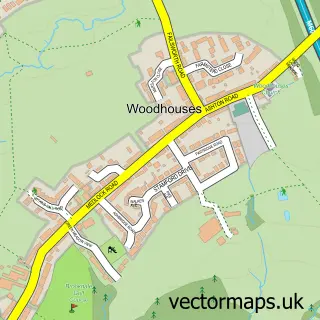
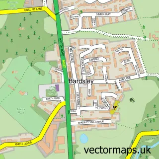
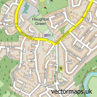
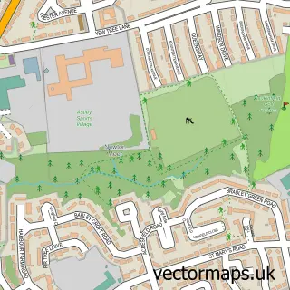
Nearby street map samples around Droylsden

Street map sample of Manchester, Greater Manchester Manchester City - Greater Manchester - 3.9 miles Street map sample of Woodhouses, Greater Manchester Woodhouses Village - Greater Manchester - 1.8 miles Street map sample of Bardsley, Greater Manchester Bardsley Village - Greater Manchester - 3.0 miles Street map sample of Haughton Green, Greater Manchester Haughton Green Village - Greater Manchester - 3.4 miles Street map sample of Newtonmoor, Greater Manchester Newtonmoor Village - Greater Manchester - 3.4 miles Street map sample of Millbrook, Greater Manchester Millbrook Village - Greater Manchester - 4.8 miles Street map sample of Lees, Greater Manchester Lees Village - Greater Manchester - 5.2 miles Street map sample of Hattersley, Greater Manchester Hattersley Village - Greater Manchester - 5.4 miles Street map sample of Micklehurst, Greater Manchester Micklehurst Village - Greater Manchester - 5.4 miles Street map sample of Carrbrook, Greater Manchester Carrbrook Village - Greater Manchester - 5.6 miles

More street maps in Greater Manchester

Street map sample of Audenshaw, Greater Manchester Audenshaw Town - 1.2 miles Street map sample of Woodhouses, Greater Manchester Woodhouses Village - 1.8 miles Street map sample of Failsworth, Greater Manchester Failsworth Town - 2.1 miles Street map sample of Ashton-under-Lyne, Greater Manchester Ashton-under-Lyne Town - 2.1 miles Street map sample of Denton, Greater Manchester Denton Town - 2.2 miles

750 metre map area coverage

Boundary, postcode and point of interest information for the 750m x 750m rectangle centred on this sample map.

Boundaries containing map centre

Constituency: Ashton-under-Lyne Boro Const

District: Tameside District (B)

Icb: NHS Greater Manchester ICB

Police Force: greater manchester

Postcode District: M43

Postcode Sector: M43 6

Ward: Droylsden East Ward

Nearby boundaries intersecting sample

Postcode District: M34

Postcode Sector: M34 5, M43 7

Ward: Audenshaw Ward, Droylsden West Ward

Postcode coverage

M43 M43 6 M34 M34 5 M43 7

POI category counts

Beauty Salon: 8

Hair Salon: 8

Indian Restaurant: 6

Church Cathedral: 5

Discount Store: 5

Pub: 5

Barber: 4

Cafe: 4

Charity Organization: 4

Coffee Shop: 4

Sample points of interest

  • Diddikicks® Droylsden Active Life
  • Bowen Back On Your Feet Alternative Medicine
  • Willow Wood Shop Antique Store
  • Manchester Droylsden Atms
  • Fairfield Outdoor Adventure Centre CIC Attractions And Activities
  • Splash & Dash Auto Detailing
  • Tosons Electrical Auto Electrical Repair
  • House of Lace Auto Upholstery
  • AAA Tyres Automotive Repair
  • Wright 1st Time Automotive Repair
  • Greggs Bakery
  • Lloyds Bank Bank Credit Union

Create a larger editable map of Droylsden

This sample shows only a 750 metre area. To create a larger map of Droylsden, use our map builder to choose your own coverage area, add titles and download editable SVG, PDF and PNG files.

Create a custom map of Droylsden

Phone 01751 473136 | Copyright Vectormaps.uk 2026

Samples Customizer Privacy Disclaimer
Droylsden Vector Street Map
Droylsden enlarged street map sample showing a 750 metre preview area