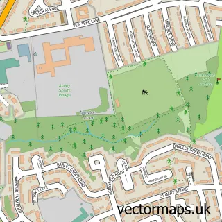
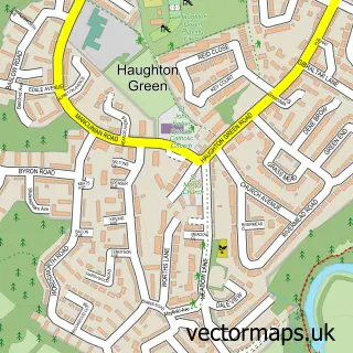
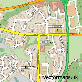
This Ashton-under-Lyne street map is a detailed vector street map covering a 750m x 750m area. Select a larger area to create and download your own vector street map of Ashton-under-Lyne.
The 750-metre map sample for Ashton-under-Lyne covers 229 mapped buildings and approximately 29.8 km of road detail, of which 59 named roads are named. The immediate area includes 2 schools, 1 GP surgery, with 18 within 2 miles, 9 pubs and 3 MOT stations, with 41 within 2 miles. The wider area around Ashton-under-Lyne features 4 tourism points of interest, 33 food and drink venues and 1 hotel. To create a larger or custom map of Ashton-under-Lyne, the map builder lets you define your own coverage area and download editable SVG, PDF and PNG files.
Create a larger editable map of Ashton-under-Lyne
Choose any area you need and generate a high-quality vector map instantly. Perfect for print, planning, design, business and personal use.

This Ashton-under-Lyne street map in Greater Manchester is available as downloadable SVG, PDF and PNG map files, or as a printed map for planning, business, display, education, local information and design work. You can also create a larger custom map area using the map selector.
What this Ashton-under-Lyne map sample shows
Ashton-under-Lyne lies within Tameside District (B) parish, part of St Peter's ward in the Tameside District (B) local authority area. The postcode geography for this area includes the OL postcode area, the OL6 postcode district and the OL6 7 postcode sector. Residents fall under the Nhs Greater Manchester Integrated Care Board for NHS services.
Local features near Ashton-under-Lyne
Within 2 milesAmenities and services in and around Ashton-under-Lyne.
Administrative and postcode information for Ashton-under-Lyne
The local authority covering Ashton-under-Lyne is Tameside District (B), within the county of Greater Manchester. The settlement lies within St Peter's ward and Tameside District (B) civil parish. The OL6 postcode district and OL6 7 postcode sector serve the immediate area. NHS provision in the area is delivered through Tameside And Glossop Integrated Care Nhs Foundation Trust.
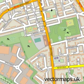
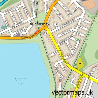
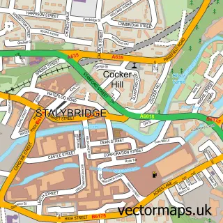
Nearby street map samples around Ashton-under-Lyne

More street maps in Greater Manchester
750 metre map area coverage
Boundary, postcode and point of interest information for the 750m x 750m rectangle centred on this sample map.
Boundaries containing map centre
Constituency: Ashton-under-Lyne Boro Const
District: Tameside District (B)
Icb: NHS Greater Manchester ICB
Police Force: greater manchester
Postcode District: OL6
Postcode Sector: OL6 7
Ward: St. Peter's Ward
Nearby boundaries intersecting sample
Postcode District: OL7, SK16
Postcode Sector: OL6 6, OL7 0, SK16 4
Ward: Dukinfield Ward
Postcode coverage
POI category counts
Clothing Store: 17
Beauty Salon: 16
Hair Salon: 12
Cafe: 11
Gym: 11
Professional Services: 10
Automotive Repair: 9
Building Supply Store: 9
Furniture Store: 9
Pub: 9
Sample points of interest
- A2Z Payroll
- Alan Mills Howard & Co.
- JD Accounting Ltd
- R M A Accountants
- RMA Accountants LTD
- Tomlinson & Co.
- Doherty School of Irish Dance
- Total Cricket Ltd.
- Kang Fu Medical Centre
- Tameside Council Adult Education
- Mida Sign Services UK
- A2B Limousine Hire
Create a larger editable map of Ashton-under-Lyne
This sample shows only a 750 metre area. To create a larger map of Ashton-under-Lyne, use our map builder to choose your own coverage area, add titles and download editable SVG, PDF and PNG files.
Create a custom map of Ashton-under-Lyne