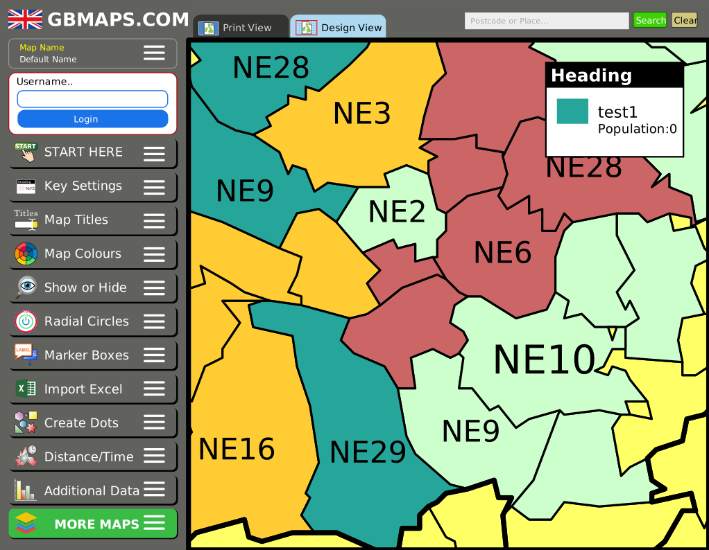
Interactive map colouring tools
Create sales territories, delivery zones or heat maps without specialist mapping software. Try the postcode sector map tool, then save and export maps with full access.
Try the Sector Map Tool
This page brings together the map and available local information for SE22 8HG in Southwark. The boundary shown is an approximation created from address points, and each data section explains whether its figures apply to the full postcode or a wider statistical area.
High-quality vector file formats. Instant download. Next-day prints.
Create a Custom MapChoose the type of postcode map that matches the level of detail and editing control you need.
Create sales territories, delivery zones or heat maps without specialist mapping software. Try the postcode sector map tool, then save and export maps with full access.
Try the Sector Map ToolReady-made vector files cover postcode areas, districts and sectors. For a map focused on the full SE22 8HG postcode or its approximate address-derived outline, ask us about custom digital and printed options.
Create a Custom MapCore details from the ONS Postcode Directory. Geography codes identify the official areas containing this postcode.
| Postcode | SE22 8HG |
| Postcode without spaces | SE228HG |
| Status | Active postcode |
| User type | Small user postcode |
| Introduced | June 2000 |
| Directory version | 2026-06 |
| Latitude | 51.4614700 |
| Longitude | -0.0770340 |
| British National Grid | 533,684 E, 175,364 N |
| Country | England |
| Region | London |
| Local authority | Southwark |
| Output Area (2021) | E00168021 |
| LSOA (2021) | E01003953 |
| MSOA (2021) | E02000834 |
| Electoral ward | E05011103 |
| Westminster constituency | E14001333 |
The postcode is assigned to these official political geographies. Names and election results will be added when the ElectionMaps datasets are connected.
A detailed vector map covering a 500 metre radius around the postcode.
Deprivation is published for the postcode's containing Lower Layer Super Output Area, a neighbourhood geography covering more than one postcode.
Open schools and active GP practices in the SE22 postcode district, ordered by straight-line distance where coordinates are available.
Academy converter
Tintagel Crescent, East Dulwich, London, SE22 8HG
Ages 3–11 · 210 pupils of 450 capacity
45.6% eligible for free school meals
B
TESSA JOWELL HEALTH CTR, 72H EAST DULWICH GROVE, LONDON, SE22 8EY
B
TESSA JOWELL HEALTH CENTRE, 72H EAST DULWICH GROVE, LONDON, SE22 8EY
B
72H EAST DULWICH GROVE, LONDON, SE22 8EY
Free schools
72J East Dulwich Grove, London, SE22 8EY
Ages 11–19 · 1,389 pupils of 1,680 capacity
28.4% eligible for free school meals
B
DULWICH COMMUNITY HOSPITAL, EAST DULWICH GROVE, LONDON, SE22 8PT
B
DULWICH COMMUNITY HOSPITAL, EAST DULWICH GROVE, EAST DULWICH, LONDON, SE22 8PT
B
DULWICH COMMUNITY HOSPITAL, EAST DULWICH GROVE, LONDON, SE22 8PT
Academy converter
Grove Hill Road, East Dulwich, London, SE22 8AB
Ages 3–11 · 205 pupils of 420 capacity
46.4% eligible for free school meals
B
THE GARDENS, LONDON, SE22 9QU
Free schools
173 Lordship Lane, London, SE22 8HA
Ages 4–11 · 346 pupils of 420 capacity
18.5% eligible for free school meals
B
163-169 CRYSTAL PALACE ROAD, EAST DULWICH, LONDON, SE22 9EP
Police.uk street-level incidents recorded across the postcode's containing LSOA in May 2026.
Southwark 028A includes SE22 8HG and other nearby postcodes.
| Crime type | Incidents |
|---|---|
| Anti-social behaviour | 5 |
| Other theft | 4 |
| Burglary | 2 |
| Theft from the person | 2 |
| Violence and sexual offences | 2 |
| Bicycle theft | 1 |
| Public order | 1 |
| Vehicle crime | 1 |
Answers use the geographic scope stated with each dataset above.
SE22 8HG is in Southwark, England.
The deprivation figures describe the containing Lower Layer Super Output Area, not only the individual postcode.
Vector Maps supplies editable UK postcode area, district and sector map files. For a vector or printed map focused on the full SE22 8HG postcode and its approximate address-derived outline, request a custom map.
Explore other full postcodes in the same postcode sector.