Interactive map colouring tools
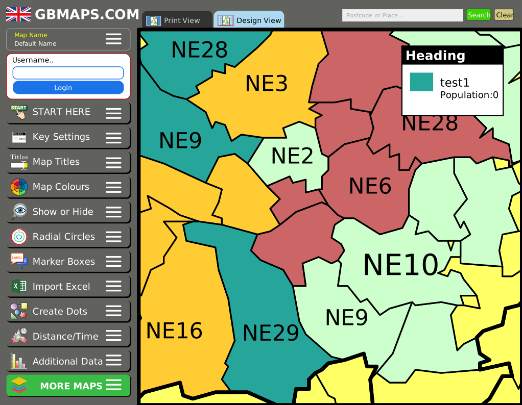
Create sales territories, delivery zones or heat maps without specialist mapping software. Try the postcode sector map tool, then save and export maps with full access.
Try the Sector Map Tool
Find SE9 4JN in Bromley and explore the information recorded for it. The interactive map shows the postcode’s position and an approximate address-derived outline, with exact-postcode facts and wider neighbourhood statistics clearly identified below. Census 2021 records 87 residents and 29 households at the exact postcode.
High-quality vector file formats. Instant download. Next-day prints.
Create a Custom MapChoose the type of postcode map that matches the level of detail and editing control you need.
Create sales territories, delivery zones or heat maps without specialist mapping software. Try the postcode sector map tool, then save and export maps with full access.
Try the Sector Map ToolReady-made vector files cover postcode areas, districts and sectors. For a map focused on the full SE9 4JN postcode or its approximate address-derived outline, ask us about custom digital and printed options.
Create a Custom MapCore details from the ONS Postcode Directory. Geography codes identify the official areas containing this postcode.
| Postcode | SE9 4JN |
| Postcode without spaces | SE94JN |
| Status | Active postcode |
| User type | Small user postcode |
| Introduced | January 1980 |
| Directory version | 2026-06 |
| Latitude | 51.4331700 |
| Longitude | 0.0421970 |
| British National Grid | 542,054 E, 172,441 N |
| Country | England |
| Region | London |
| Local authority | Bromley |
| Output Area (2021) | E00003813 |
| LSOA (2021) | E01000780 |
| MSOA (2021) | E02000127 |
| Electoral ward | E05014000 |
| Westminster constituency | E14001223 |
The postcode is assigned to these official political geographies. Names and election results will be added when the ElectionMaps datasets are connected.
These Census figures are matched directly to the full postcode, rather than inferred from a wider neighbourhood.
| Residents | 87 |
| Households | 29 |
| Female residents | 45 |
| Male residents | 42 |
| Residents per household | 3.0 |
A detailed vector map covering a 500 metre radius around the postcode.
Deprivation is published for the postcode's containing Lower Layer Super Output Area, a neighbourhood geography covering more than one postcode.
Land Registry Price Paid Data transactions matched to this exact full postcode.
| Sale date | Address | Property type | Tenure | Price |
|---|---|---|---|---|
| 9 Apr 2024 | 75, COURT FARM ROAD, LONDON | Semi-detached | Freehold | £712,500 |
Open schools and active GP practices in the SE9 postcode district, ordered by straight-line distance where coordinates are available.
Academy converter
Harting Road, Mottingham, London, SE9 4JR
Ages 4–11 · 203 pupils of 226 capacity
8.9% eligible for free school meals
Other independent school
Grove Park Road, Mottingham, London, SE9 4QF
Ages 7–19 · 1,094 pupils of 1,100 capacity
B
KIMMERIDGE ROAD, MOTTINGHAM, LONDON, SE9 4EB
Academy converter
Ravensworth Road, Mottingham, London, SE9 4LW
Ages 2–11 · 273 pupils of 420 capacity
36.6% eligible for free school meals
Academy converter
Castlecombe Road, Mottingham, London, SE9 4AT
Ages 3–11 · 280 pupils of 420 capacity
33.7% eligible for free school meals
Academy converter
Witherston Way, Eltham, London, SE9 3JN
Ages 2–11 · 265 pupils of 210 capacity
44.1% eligible for free school meals
B
81 WILLIAM BAREFOOT DRIVE, ELTHAM, LONDON, SE9 3JD
Community school
Middle Park Avenue, Eltham, London, SE9 5RX
Ages 3–11 · 425 pupils of 497 capacity
50.1% eligible for free school meals
Other independent special school
70 Court Road, London, SE9 5NP
Ages 4–18 · 143 pupils of 150 capacity
Community school
Milverton Way, Eltham, London, SE9 3EY
Ages 3–11 · 364 pupils of 470 capacity
28.5% eligible for free school meals
Other independent school
106-110 Southwood Road, New Eltham, London, SE9 3QS
Ages 3–11 · 217 pupils of 220 capacity
Community special school
Eltham Palace Road, Eltham, London, SE9 5LX
Ages 11–16 · 39 pupils of 49 capacity
61.5% eligible for free school meals
Companies House records whose registered-office address uses this exact postcode.
Private Limited Company
Incorporated 20 May 2025
64303 - Activities of venture and development capital companies
Private Limited Company
Incorporated 31 August 2023
41201 - Construction of commercial buildings
Private Limited Company
Incorporated 10 May 2021
49420 - Removal services
Private Limited Company
Incorporated 28 January 2019
41202 - Construction of domestic buildings
Private Limited Company
Incorporated 18 January 2016
70229 - Management consultancy activities other than financial management
Private Limited Company
Incorporated 2 May 2012
59111 - Motion picture production activities
Private Limited Company
Incorporated 3 February 2025
82110 - Combined office administrative service activities
Police.uk street-level incidents recorded across the postcode's containing LSOA in May 2026.
Bromley 001B includes SE9 4JN and other nearby postcodes.
| Crime type | Incidents |
|---|---|
| Violence and sexual offences | 6 |
| Vehicle crime | 5 |
| Anti-social behaviour | 1 |
| Other crime | 1 |
| Other theft | 1 |
| Robbery | 1 |
| Theft from the person | 1 |
Answers use the geographic scope stated with each dataset above.
SE9 4JN is in Bromley, England.
The Census 2021 postcode-level dataset records 87 residents at SE9 4JN. This is an exact postcode count.
The deprivation figures describe the containing Lower Layer Super Output Area, not only the individual postcode.
Yes. The sold-price records shown on this page are Land Registry transactions matched to the full SE9 4JN postcode.
Vector Maps supplies editable UK postcode area, district and sector map files. For a vector or printed map focused on the full SE9 4JN postcode and its approximate address-derived outline, request a custom map.
Explore other full postcodes in the same postcode sector.