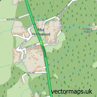
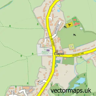
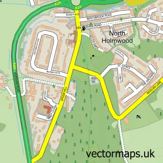
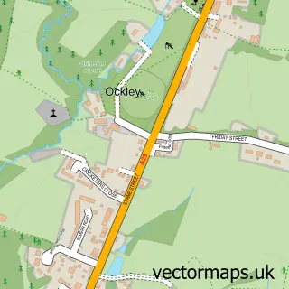
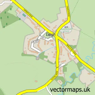
This Beare Green street map is a detailed vector street map covering a 750m x 750m area. Select a larger area to create and download your own vector street map of Beare Green.
The 750-metre map sample for Beare Green covers 257 mapped buildings and approximately 11.3 km of road detail, of which 21 named roads are named. The immediate area includes 1 railway station, 1 GP surgery within 2 miles and 1 MOT station, with 5 within 2 miles. The wider area around Beare Green features 1 food and drink venue and 1 hotel. To create a larger or custom map of Beare Green, the map builder lets you define your own coverage area and download editable SVG, PDF and PNG files.
Create a larger editable map of Beare Green
Choose any area you need and generate a high-quality vector map instantly. Perfect for print, planning, design, business and personal use.

This Beare Green street map in Surrey is available as downloadable SVG, PDF and PNG map files, or as a printed map for planning, business, display, education, local information and design work. You can also create a larger custom map area using the map selector.
What this Beare Green map sample shows
Beare Green lies within Capel Cp parish, part of Beare Green ward in the Mole Valley District local authority area. The postcode geography for this area includes the RH postcode area, the RH5 postcode district and the RH5 4 postcode sector. Residents fall under the Nhs Surrey Heartlands Integrated Care Board for NHS services.
Local features near Beare Green
Within 2 milesAmenities and services in and around Beare Green.
Administrative and postcode information for Beare Green
Beare Green lies within Capel Cp parish, part of Beare Green ward in the Mole Valley District local authority area. The postcode geography for this area includes the RH postcode area, the RH5 postcode district and the RH5 4 postcode sector. Residents fall under the Nhs Surrey Heartlands Integrated Care Board for NHS services.
Nearby street map samples around Beare Green

More street maps in Surrey
750 metre map area coverage
Boundary, postcode and point of interest information for the 750m x 750m rectangle centred on this sample map.
Boundaries containing map centre
Constituency: Dorking and Horley Co Const
County: Surrey County
District: Mole Valley District
Icb: NHS Surrey and Sussex ICB
Parish: Capel CP
Police Force: surrey
Postcode District: RH5
Postcode Sector: RH5 4
Ward: Holmwoods & Beare Green Ward
Nearby boundaries intersecting sample
No additional intersecting boundaries found.
Postcode coverage
POI category counts
Professional Services: 4
Convenience Store: 3
Gas Station: 3
Gym: 3
Atms: 2
Automotive: 2
Building Supply Store: 2
Home Health Care: 2
Party Supply: 2
Pet Groomer: 2
Sample points of interest
- Laura Worsfold Osteopathy
- MFG - Leith Hill (attack reinstall), Horsham Road
- PayPoint
- Target Cars
- Tip Top Mechanic
- Priority Commercials Ltd
- Laker Electrics
- King William IV Mickleham
- Kerry Couture Hair Beauty & Aesthetics
- Fine Design Carpentry & Joinery Ltd
- Premier Gardens
- Andrew Hayward Fencing
Create a larger editable map of Beare Green
This sample shows only a 750 metre area. To create a larger map of Beare Green, use our map builder to choose your own coverage area, add titles and download editable SVG, PDF and PNG files.
Create a custom map of Beare Green