Vector Maps logo
Home Why it works Popular maps Districts Samples Customizer Create Your Map
VectorMaps.uk
Home Popular maps Districts Samples Customizer Create Your Map Privacy Disclaimer
Home / UK Maps / Argyll and Bute / Bowmore Map

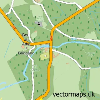
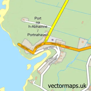
This Bowmore street map is a detailed vector street map covering a 750m x 750m area. Select a larger area to create and download your own vector street map of Bowmore.

Bowmore is a town in Argyll And Bute, in the Highlands And Islands of Scotland. Historically, the area formed part of Argyllshire. It is served by the PA43 postcode district, with PA43 7 as the local postcode sector.

The 750-metre map sample for Bowmore covers 184 mapped buildings and approximately 9.9 km of road detail, of which 14 named roads are named. The immediate area includes 1 MOT station. The wider area around Bowmore features 2 tourism points of interest, 2 food and drink venues and 9 hotels. To create a larger or custom map of Bowmore, the map builder lets you define your own coverage area and download editable SVG, PDF and PNG files.

184Buildings
9.93 kmRoads
14Named roads
0Residents within 2 miles
Create your own

Create a larger editable map of Bowmore

Choose any area you need and generate a high-quality vector map instantly. Perfect for print, planning, design, business and personal use.

Choose any location
Editable SVG files
Any size up to A0
PDF, PNG & more
Instant download
High quality guaranteed
Create My Custom Map
Secure, private & no credit card required
Bowmore Vector Street Map
750m Sample
Bowmore vector street map sample showing roads, buildings and local features in a 750 metre preview area
Buy Bowmore Map Print from £12.95 Buy Bowmore Digital Map from £6

This Bowmore street map in Argyll and Bute is available as downloadable SVG, PDF and PNG map files, or as a printed map for planning, business, display, education, local information and design work. You can also create a larger custom map area using the map selector.

What this Bowmore map sample shows

Bowmore lies within Argyll And Bute parish, part of Kintyre And The Islands ward in the Argyll And Bute local authority area. The postcode geography for this area includes the PA postcode area, the PA43 postcode district and the PA43 7 postcode sector. Residents fall under the Highland for NHS services.

Local features near Bowmore

Within 2 miles

Amenities and services in and around Bowmore.

1 MOT stations 1 within 2 miles
2 Tourism & leisure
2 Food & drink
9 Hotels
2 Healthcare POIs
1 Vehicle services

Counts are approximate and based on publicly available data.

Administrative and postcode information for Bowmore

Bowmore lies within Argyll And Bute parish, part of Kintyre And The Islands ward in the Argyll And Bute local authority area. The postcode geography for this area includes the PA postcode area, the PA43 postcode district and the PA43 7 postcode sector. Residents fall under the Highland for NHS services.

Parish ARGYLL AND BUTE
Ward Kintyre and the Islands
District / local authority Argyll and Bute
County Argyll and Bute
Historic county Argyllshire
Postcode district PA43
Postcode sector PA43 7
Region Highlands and Islands
Country Scotland

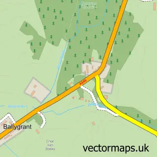
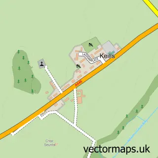
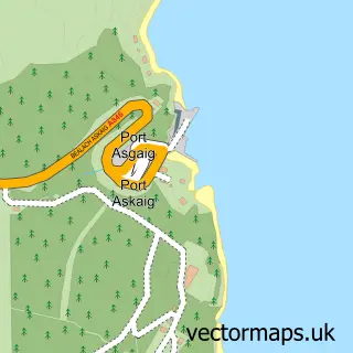
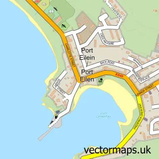
Nearby street map samples around Bowmore

Street map sample of Glasgow, City of Glasgow Glasgow City - City of Glasgow - 79.5 miles Street map sample of Bridgend, Argyll and Bute Bridgend Village - Argyll and Bute - 2.2 miles Street map sample of Bruichladdich, Argyll and Bute Bruichladdich Village - Argyll and Bute - 2.9 miles Street map sample of Port Charlotte, Argyll and Bute Port Charlotte Village - Argyll and Bute - 3.7 miles Street map sample of Glenegedale, Argyll and Bute Glenegedale Village - Argyll and Bute - 5.5 miles Street map sample of Ballygrant, Argyll and Bute Ballygrant Village - Argyll and Bute - 6.5 miles Street map sample of Keills, Argyll and Bute Keills Village - Argyll and Bute - 8.5 miles Street map sample of Port Askaig, Argyll and Bute Port Askaig Village - Argyll and Bute - 9.5 miles Street map sample of Port Ellen, Argyll and Bute Port Ellen Village - Argyll and Bute - 9.7 miles Street map sample of Portnahaven, Argyll and Bute Portnahaven Village - Argyll and Bute - 10.1 miles

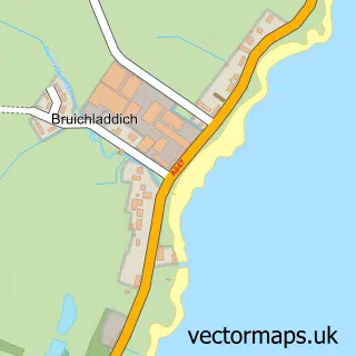
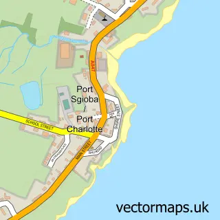
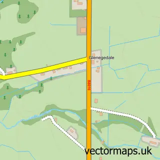
More street maps in Argyll and Bute

Street map sample of Bridgend, Argyll and Bute Bridgend Village - 2.2 miles Street map sample of Bruichladdich, Argyll and Bute Bruichladdich Village - 2.9 miles Street map sample of Port Charlotte, Argyll and Bute Port Charlotte Village - 3.7 miles Street map sample of Glenegedale, Argyll and Bute Glenegedale Village - 5.5 miles Street map sample of Ballygrant, Argyll and Bute Ballygrant Village - 6.5 miles

750 metre map area coverage

Boundary, postcode and point of interest information for the 750m x 750m rectangle centred on this sample map.

Boundaries containing map centre

Constituency: Argyll, Bute and South Lochaber Co Const

District: Argyll and Bute

Icb: Highland

Postcode District: PA43

Postcode Sector: PA43 7

Ward: Kintyre and the Islands Ward

Nearby boundaries intersecting sample

No additional intersecting boundaries found.

Postcode coverage

PA43 PA43 7

POI category counts

Hotel: 9

Bed And Breakfast: 7

Church Cathedral: 4

Banks: 3

Convenience Store: 3

Distillery: 3

Taxi Service: 3

Bank Credit Union: 2

Cafe: 2

Flowers And Gifts Shop: 2

Sample points of interest

  • Bunnahabhain Arts And Entertainment
  • RBS Bowmore Bank Credit Union
  • The Royal Bank of Scotland Bank Credit Union
  • Community Banker MacTaggart Leisure Centre Banks
  • Royal Bank of Scotland Banks
  • Royal Bank of Scotland Banks
  • Lucci’s Bar
  • Cubic Hair Beauty Salon
  • An Cuan Bed And Breakfast
  • Dha Urlar B+B Bowmore Islay Bed And Breakfast
  • Lambeth Bed And Breakfast
  • Tarbert House Bed And Breakfast

Create a larger editable map of Bowmore

This sample shows only a 750 metre area. To create a larger map of Bowmore, use our map builder to choose your own coverage area, add titles and download editable SVG, PDF and PNG files.

Create a custom map of Bowmore

Phone 01751 473136 | Copyright Vectormaps.uk 2026

Samples Customizer Privacy Disclaimer
Bowmore Vector Street Map
Bowmore enlarged street map sample showing a 750 metre preview area