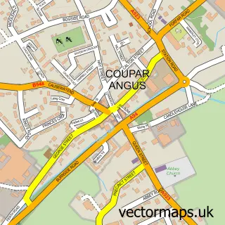
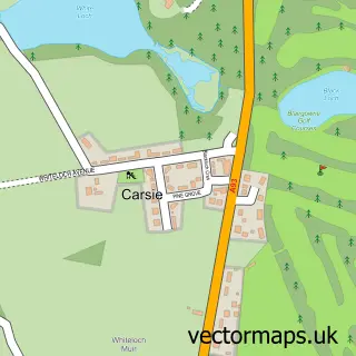
This Burrelton street map is a detailed vector street map covering a 750m x 750m area. Select a larger area to create and download your own vector street map of Burrelton.
The 750-metre map sample for Burrelton covers 78 mapped buildings and approximately 9.2 km of road detail, of which 13 named roads are named. The immediate area includes 1 MOT station. To create a larger or custom map of Burrelton, the map builder lets you define your own coverage area and download editable SVG, PDF and PNG files.
Create a larger editable map of Burrelton
Choose any area you need and generate a high-quality vector map instantly. Perfect for print, planning, design, business and personal use.

This Burrelton street map in Perth and Kinross is available as downloadable SVG, PDF and PNG map files, or as a printed map for planning, business, display, education, local information and design work. You can also create a larger custom map area using the map selector.
What this Burrelton map sample shows
Burrelton lies within Perth And Kinross parish, part of Strathmore ward in the Perth And Kinross local authority area. The postcode geography for this area includes the PH postcode area, the PH13 postcode district and the PH13 9 postcode sector. Residents fall under the Tayside for NHS services.
Local features near Burrelton
Within 2 milesAmenities and services in and around Burrelton.
Administrative and postcode information for Burrelton
The local authority covering Burrelton is Perth And Kinross, within the county of Perth And Kinross. The settlement lies within Strathmore ward and Perth And Kinross civil parish. The PH13 postcode district and PH13 9 postcode sector serve the immediate area. NHS provision in the area is delivered through Tayside.
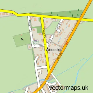
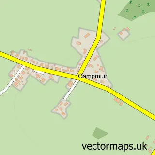
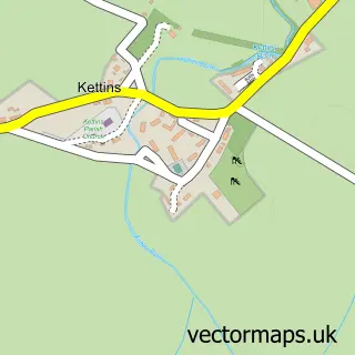
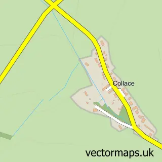
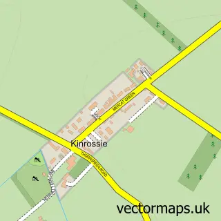
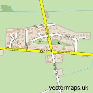
Nearby street map samples around Burrelton

More street maps in Perth and Kinross
750 metre map area coverage
Boundary, postcode and point of interest information for the 750m x 750m rectangle centred on this sample map.
Boundaries containing map centre
Constituency: Angus and Perthshire Glens Co Const
District: Perth and Kinross
Icb: Tayside
Postcode District: PH13
Postcode Sector: PH13 9
Ward: Strathmore Ward
Nearby boundaries intersecting sample
No additional intersecting boundaries found.
Postcode coverage
POI category counts
Car Dealer: 2
Post Office: 2
Sports Club And League: 2
Antique Store: 1
Atms: 1
Auto Body Shop: 1
Automotive Repair: 1
Bed And Breakfast: 1
Eat And Drink: 1
Elementary School: 1
Sample points of interest
- Nethermill Antiques
- PayPoint
- Richard car body repairs
- Richard Lawson Dundee
- Burrelton Park Inn
- Richard Lawson Autoecosse
- Thomson & Potter
- The Allotment At Collearn
- Burrelton Primary School
- Blairmont Blinds
- CCS Developments Ltd
- Motorhome Buyers Scotland
Create a larger editable map of Burrelton
This sample shows only a 750 metre area. To create a larger map of Burrelton, use our map builder to choose your own coverage area, add titles and download editable SVG, PDF and PNG files.
Create a custom map of Burrelton