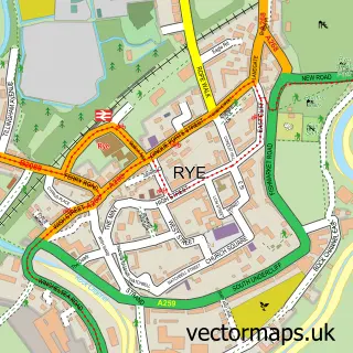
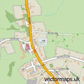
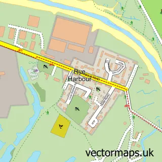
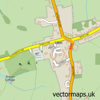
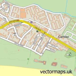
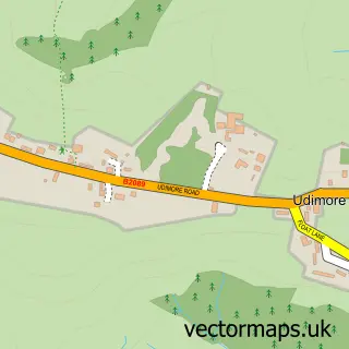
This East Guldeford street map is a detailed vector street map covering a 750m x 750m area. Select a larger area to create and download your own vector street map of East Guldeford.
The 750-metre map sample for East Guldeford covers 30 mapped buildings and approximately 9.4 km of road detail, of which 3 named roads are named. The immediate area includes 2 GP surgeries within 2 miles and 3 MOT stations within 2 miles. The wider area around East Guldeford features 1 food and drink venue and 1 campsite within 2 miles. To create a larger or custom map of East Guldeford, the map builder lets you define your own coverage area and download editable SVG, PDF and PNG files.
Create a larger editable map of East Guldeford
Choose any area you need and generate a high-quality vector map instantly. Perfect for print, planning, design, business and personal use.

This East Guldeford street map in East Sussex is available as downloadable SVG, PDF and PNG map files, or as a printed map for planning, business, display, education, local information and design work. You can also create a larger custom map area using the map selector.
What this East Guldeford map sample shows
East Guldeford lies within East Guldeford Cp parish, part of Eastern Rother ward in the Rother District local authority area. The postcode geography for this area includes the TN postcode area, the TN31 postcode district and the TN31 7 postcode sector. Residents fall under the Nhs Sussex Integrated Care Board for NHS services.
Local features near East Guldeford
Within 2 milesAmenities and services in and around East Guldeford.
Administrative and postcode information for East Guldeford
The local authority covering East Guldeford is Rother District, within the county of East Sussex. The settlement lies within Eastern Rother ward and East Guldeford Cp civil parish. The TN31 postcode district and TN31 7 postcode sector serve the immediate area. NHS provision in the area is delivered through East Sussex Healthcare Nhs Trust.
Nearby street map samples around East Guldeford

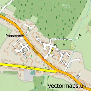
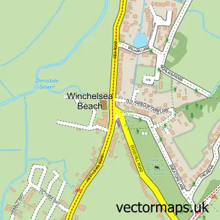
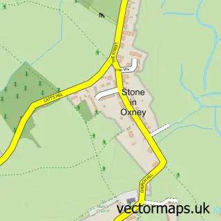
More street maps in East Sussex
750 metre map area coverage
Boundary, postcode and point of interest information for the 750m x 750m rectangle centred on this sample map.
Boundaries containing map centre
Constituency: Hastings and Rye Co Const
County: East Sussex County
District: Rother District
Icb: NHS Surrey and Sussex ICB
Parish: East Guldeford CP
Police Force: sussex
Postcode District: TN31
Postcode Sector: TN31 7
Ward: Eastern Rother Ward
Nearby boundaries intersecting sample
No additional intersecting boundaries found.
Postcode coverage
POI category counts
Anglican Church: 1
Arts And Crafts: 1
Automotive Services And Repair: 1
Beauty Salon: 1
Cafe: 1
Contractor: 1
Farmers Market: 1
Flowers And Gifts Shop: 1
Nursery And Gardening: 1
Pet Groomer: 1
Sample points of interest
- St Mary's
- Church Farm Studios
- InstaVolt Charging Station
- The Salon
- Beryls Cafe
- Romney Marshes Area Internal Drainage Board
- Salts Farm Shop
- Kenneth Townsend Designs
- Rye Garden Centre
- Grooming Lovely
- Padstone
Create a larger editable map of East Guldeford
This sample shows only a 750 metre area. To create a larger map of East Guldeford, use our map builder to choose your own coverage area, add titles and download editable SVG, PDF and PNG files.
Create a custom map of East Guldeford