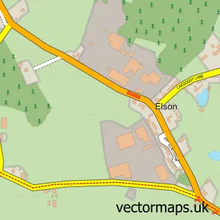
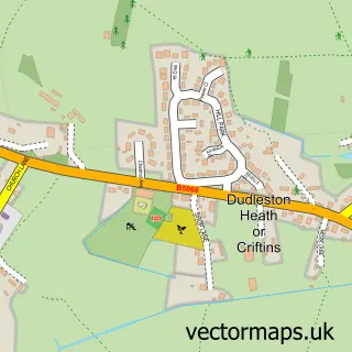
This Ellesmere street map is a detailed vector street map covering a 750m x 750m area. Select a larger area to create and download your own vector street map of Ellesmere.
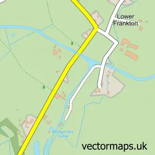
The 750-metre map sample for Ellesmere covers 470 mapped buildings and approximately 18.9 km of road detail, of which 44 named roads are named. The immediate area includes 1 GP surgery, 7 pubs and 2 MOT stations within 2 miles. The wider area around Ellesmere features 2 tourism points of interest, 16 food and drink venues and 4 hotels. To create a larger or custom map of Ellesmere, the map builder lets you define your own coverage area and download editable SVG, PDF and PNG files.
Create a larger editable map of Ellesmere
Choose any area you need and generate a high-quality vector map instantly. Perfect for print, planning, design, business and personal use.

This Ellesmere street map in Shropshire is available as downloadable SVG, PDF and PNG map files, or as a printed map for planning, business, display, education, local information and design work. You can also create a larger custom map area using the map selector.
What this Ellesmere map sample shows
Ellesmere lies within Ellesmere Urban Cp parish, part of Ellesmere Urban ward in the Shropshire local authority area. The postcode geography for this area includes the SY postcode area, the SY12 postcode district and the SY12 0 postcode sector. Residents fall under the Nhs Shropshire, Telford And Wrekin Integrated Care Board for NHS services.
Local features near Ellesmere
Within 2 milesAmenities and services in and around Ellesmere.
Administrative and postcode information for Ellesmere
Ellesmere lies within Ellesmere Urban Cp parish, part of Ellesmere Urban ward in the Shropshire local authority area. The postcode geography for this area includes the SY postcode area, the SY12 postcode district and the SY12 0 postcode sector. Residents fall under the Nhs Shropshire, Telford And Wrekin Integrated Care Board for NHS services.
Nearby street map samples around Ellesmere

More street maps in Shropshire
750 metre map area coverage
Boundary, postcode and point of interest information for the 750m x 750m rectangle centred on this sample map.
Boundaries containing map centre
Constituency: North Shropshire Co Const
District: Shropshire
Icb: NHS Shropshire Telford and Wrekin ICB
Parish: Ellesmere Urban CP
Police Force: west mercia
Postcode District: SY12
Postcode Sector: SY12 0
Nearby boundaries intersecting sample
Postcode Sector: SY12 9
Postcode coverage
POI category counts
Pub: 7
Hair Salon: 5
Barber: 4
Beauty And Spa: 4
Beauty Salon: 4
Cafe: 4
Coffee Shop: 4
Doctor: 4
Flowers And Gifts Shop: 4
Hotel: 4
Sample points of interest
- Pay-Pro Ltd.
- Ellesmere Canal
- Parish Church Ellesmere
- St Mary's Church, Ellesmere
- Collectors Corner
- Barlows Electrical
- Greenspace Architects
- Mere Framing
- Art Monkeys
- The Cooperative Food (BF) Ellesmere
- Princes LHS Ltd.
- Ellesmere Basin
Create a larger editable map of Ellesmere
This sample shows only a 750 metre area. To create a larger map of Ellesmere, use our map builder to choose your own coverage area, add titles and download editable SVG, PDF and PNG files.
Create a custom map of Ellesmere