Vector Maps logo
Home Why it works Popular maps Districts Samples Customizer Create Your Map
VectorMaps.uk
Home Popular maps Districts Samples Customizer Create Your Map Privacy Disclaimer
Home / UK Maps / Lanarkshire / Forth Map

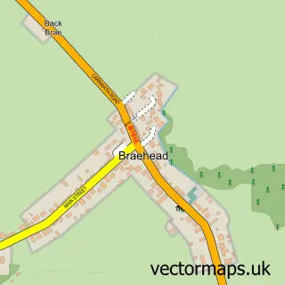
This Forth street map is a detailed vector street map covering a 750m x 750m area. Select a larger area to create and download your own vector street map of Forth.

Forth is a village in Lanarkshire, in the South Scotland of Scotland. The settlement falls within the Lanark And Hamilton East parliamentary constituency. It is served by the ML11 postcode district, with ML11 8 as the local postcode sector.

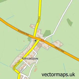
The 750-metre map sample for Forth covers 295 mapped buildings and approximately 15.0 km of road detail, of which 30 named roads are named. The immediate area includes 1 GP surgery, 1 pub and 1 MOT station. The wider area around Forth features 1 food and drink venue. To create a larger or custom map of Forth, the map builder lets you define your own coverage area and download editable SVG, PDF and PNG files.

295Buildings
15 kmRoads
30Named roads
0Residents within 2 miles
Create your own

Create a larger editable map of Forth

Choose any area you need and generate a high-quality vector map instantly. Perfect for print, planning, design, business and personal use.

Choose any location
Editable SVG files
Any size up to A0
PDF, PNG & more
Instant download
High quality guaranteed
Create My Custom Map
Secure, private & no credit card required
Forth Vector Street Map
750m Sample
Forth vector street map sample showing roads, buildings and local features in a 750 metre preview area
Buy Forth Map Print from £12.95 Buy Forth Digital Map from £6

This Forth street map in Lanarkshire is available as downloadable SVG, PDF and PNG map files, or as a printed map for planning, business, display, education, local information and design work. You can also create a larger custom map area using the map selector.

What this Forth map sample shows

Forth lies within South Lanarkshire parish, part of Clydesdale North ward in the South Lanarkshire local authority area. The postcode geography for this area includes the ML postcode area, the ML11 postcode district and the ML11 8 postcode sector. Residents fall under the Lanarkshire for NHS services.

Local features near Forth

Within 2 miles

Amenities and services in and around Forth.

1 GP surgeries 1 within 2 miles
1 MOT stations 1 within 2 miles
1 Food & drink
1 Pubs
3 Healthcare POIs
4 Vehicle services

Counts are approximate and based on publicly available data.

Administrative and postcode information for Forth

Forth lies within South Lanarkshire parish, part of Clydesdale North ward in the South Lanarkshire local authority area. The postcode geography for this area includes the ML postcode area, the ML11 postcode district and the ML11 8 postcode sector. Residents fall under the Lanarkshire for NHS services.

Parish SOUTH LANARKSHIRE
Ward Clydesdale North
District / local authority South Lanarkshire
County Lanarkshire
Historic county Lanarkshire
Postcode district ML11
Postcode sector ML11 8
Parliamentary constituency Lanark and Hamilton East
Region South Scotland
Country Scotland

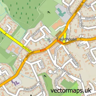
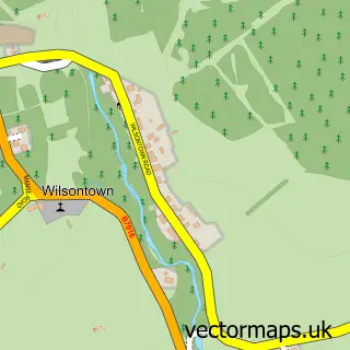
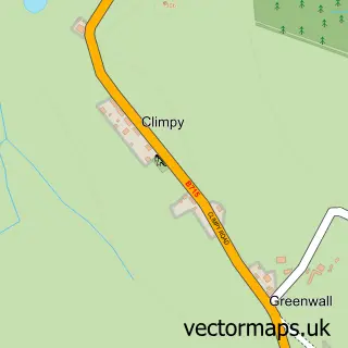
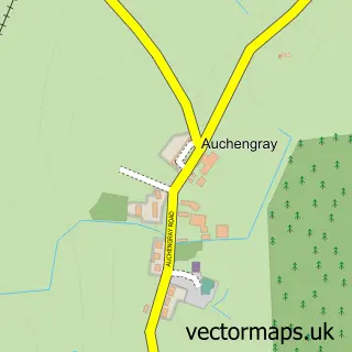
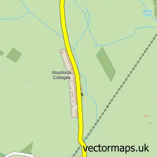
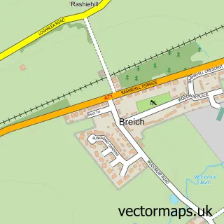
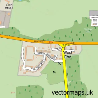
Nearby street map samples around Forth

Street map sample of Fauldhouse, West Lothian Fauldhouse Town - West Lothian - 4.3 miles Street map sample of Glasgow, City of Glasgow Glasgow City - City of Glasgow - 22.8 miles Street map sample of Wilsontown, Lanarkshire Wilsontown Village - Lanarkshire - 0.9 miles Street map sample of Climpy, Lanarkshire Climpy Village - Lanarkshire - 1.2 miles Street map sample of Braehead, Lanarkshire Braehead Village - Lanarkshire - 2.0 miles Street map sample of Auchengray, Lanarkshire Auchengray Village - Lanarkshire - 3.3 miles Street map sample of Woolfords, Lanarkshire Woolfords Village - Lanarkshire - 4.4 miles Street map sample of Breich, West Lothian Breich Village - West Lothian - 4.6 miles Street map sample of West End, Lanarkshire West End Village - Lanarkshire - 4.6 miles Street map sample of Kilncadzow, Lanarkshire Kilncadzow Village - Lanarkshire - 4.7 miles

More street maps in Lanarkshire

Street map sample of Wilsontown, Lanarkshire Wilsontown Village - 0.9 miles Street map sample of Climpy, Lanarkshire Climpy Village - 1.2 miles Street map sample of Braehead, Lanarkshire Braehead Village - 2.0 miles Street map sample of Auchengray, Lanarkshire Auchengray Village - 3.3 miles Street map sample of Woolfords, Lanarkshire Woolfords Village - 4.4 miles

750 metre map area coverage

Boundary, postcode and point of interest information for the 750m x 750m rectangle centred on this sample map.

Boundaries containing map centre

Constituency: Motherwell, Wishaw and Carluke Co Const

District: South Lanarkshire

Icb: Lanarkshire

Postcode District: ML11

Postcode Sector: ML11 8

Ward: Clydesdale North Ward

Nearby boundaries intersecting sample

No additional intersecting boundaries found.

Postcode coverage

ML11 ML11 8

POI category counts

Convenience Store: 4

Gas Station: 3

Car Dealer: 2

Contractor: 2

Doctor: 2

Professional Services: 2

Arts And Entertainment: 1

Atms: 1

Automotive: 1

Automotive Repair: 1

Sample points of interest

  • Forth Arts And Entertainment
  • The Cooperative Food Forth, Forth Atms
  • A & C Ross Automotive
  • A and C Ross Automotive Repair
  • The Royal Bank of Scotland Banks
  • Talisker Inn & Restaurant Bar
  • 𝐿.𝒜.𝒮 𝐵𝐸𝒜𝒰𝒯𝒴 & 𝐻𝒪𝐿𝐼𝒮𝒯𝐼𝒞 𝐿𝒪𝒰𝒩𝒢𝐸 Beauty Salon
  • Backbrae House Bed And Breakfast
  • Alan Burt Joiners Building Contractor
  • A Furniture Clinic Building Supply Store
  • Post Office-Forth Business Management Services
  • Gillespies Family Butchers Butcher Shop

Create a larger editable map of Forth

This sample shows only a 750 metre area. To create a larger map of Forth, use our map builder to choose your own coverage area, add titles and download editable SVG, PDF and PNG files.

Create a custom map of Forth

Phone 01751 473136 | Copyright Vectormaps.uk 2026

Samples Customizer Privacy Disclaimer
Forth Vector Street Map
Forth enlarged street map sample showing a 750 metre preview area