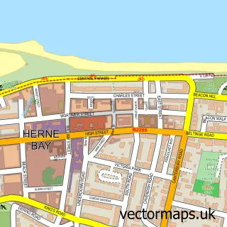
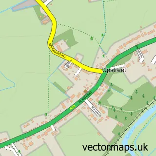
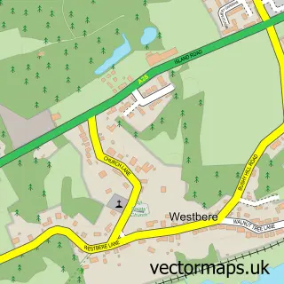
This Hillborough street map is a detailed vector street map covering a 750m x 750m area. Select a larger area to create and download your own vector street map of Hillborough.
The 750-metre map sample for Hillborough covers 174 mapped buildings and approximately 7.0 km of road detail, of which 9 named roads are named. The immediate area includes 1 school and 1 MOT station. The wider area around Hillborough features 1 tourism point of interest. To create a larger or custom map of Hillborough, the map builder lets you define your own coverage area and download editable SVG, PDF and PNG files.
Create a larger editable map of Hillborough
Choose any area you need and generate a high-quality vector map instantly. Perfect for print, planning, design, business and personal use.

This Hillborough street map in Kent is available as downloadable SVG, PDF and PNG map files, or as a printed map for planning, business, display, education, local information and design work. You can also create a larger custom map area using the map selector.
What this Hillborough map sample shows
Hillborough lies within Kent County parish, part of Reculver ward in the Canterbury District (B) local authority area. The postcode geography for this area includes the CT postcode area, the CT6 postcode district and the CT6 6 postcode sector. Residents fall under the Nhs Kent And Medway Integrated Care Board for NHS services.
Local features near Hillborough
Within 2 milesAmenities and services in and around Hillborough.
Administrative and postcode information for Hillborough
The local authority covering Hillborough is Canterbury District (B), within the county of Kent. The settlement lies within Reculver ward and Kent County civil parish. The CT6 postcode district and CT6 6 postcode sector serve the immediate area. NHS provision in the area is delivered through East Kent Hospitals University Nhs Foundation Trust.
Nearby street map samples around Hillborough

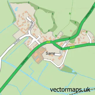
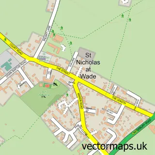
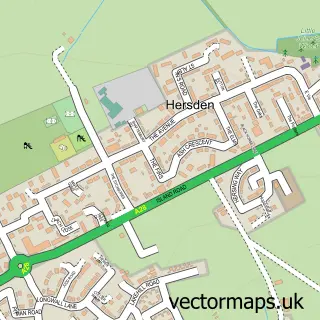
More street maps in Kent
750 metre map area coverage
Boundary, postcode and point of interest information for the 750m x 750m rectangle centred on this sample map.
Boundaries containing map centre
Constituency: Herne Bay and Sandwich Co Const
County: Kent County
District: Canterbury District (B)
Icb: NHS Kent and Medway ICB
Police Force: kent
Postcode District: CT6
Postcode Sector: CT6 6
Ward: Reculver Ward
Nearby boundaries intersecting sample
No additional intersecting boundaries found.
Postcode coverage
POI category counts
Professional Services: 3
Building Supply Store: 2
Clothing Store: 2
Elementary School: 2
Transportation: 2
Anglican Church: 1
Beauty Salon: 1
Campground: 1
Child Care And Day Care: 1
Church Cathedral: 1
Sample points of interest
- St Mary the Virgin
- T.J Beauty Creations
- Graham's Property Services
- One Call Property Services
- Keat Farm Parks
- Herne Bay Childminding
- Church of St Mary the Virgin
- HWG Kent
- Heron Workwear & Graphics
- Beltinge & Reculver Surgery
- Beltinge Day Nursery
- Reculver Church of England Primary School
Create a larger editable map of Hillborough
This sample shows only a 750 metre area. To create a larger map of Hillborough, use our map builder to choose your own coverage area, add titles and download editable SVG, PDF and PNG files.
Create a custom map of Hillborough