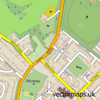
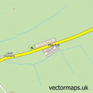
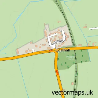
This Hollybush street map is a detailed vector street map covering a 750m x 750m area. Select a larger area to create and download your own vector street map of Hollybush.
The 750-metre map sample for Hollybush covers 77 mapped buildings and approximately 8.9 km of road detail, of which 2 named roads are named. To create a larger or custom map of Hollybush, the map builder lets you define your own coverage area and download editable SVG, PDF and PNG files.
Create a larger editable map of Hollybush
Choose any area you need and generate a high-quality vector map instantly. Perfect for print, planning, design, business and personal use.

This Hollybush street map in Ayrshire and Arran is available as downloadable SVG, PDF and PNG map files, or as a printed map for planning, business, display, education, local information and design work. You can also create a larger custom map area using the map selector.
What this Hollybush map sample shows
Hollybush lies within East Ayrshire parish, part of Doon Valley ward in the East Ayrshire local authority area. The postcode geography for this area includes the KA postcode area, the KA6 postcode district and the KA6 6 postcode sector. Residents fall under the Ayrshire And Arran for NHS services.
Local features near Hollybush
Within 2 milesAmenities and services in and around Hollybush.
Administrative and postcode information for Hollybush
The local authority covering Hollybush is East Ayrshire, within the county of Ayrshire And Arran. The settlement lies within Doon Valley ward and East Ayrshire civil parish. The KA6 postcode district and KA6 6 postcode sector serve the immediate area. NHS provision in the area is delivered through Ayrshire And Arran.
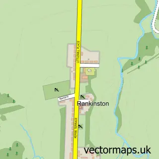
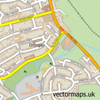
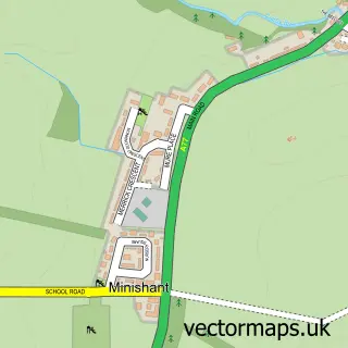
Nearby street map samples around Hollybush

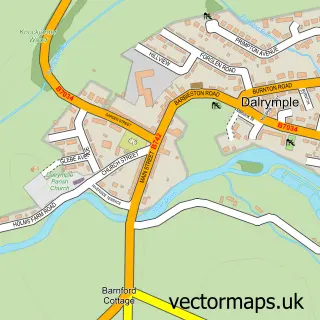
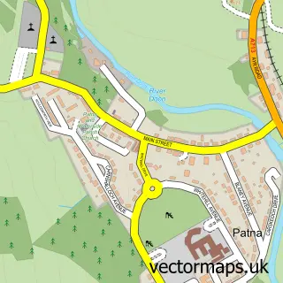
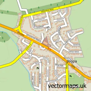
More street maps in Ayrshire and Arran
750 metre map area coverage
Boundary, postcode and point of interest information for the 750m x 750m rectangle centred on this sample map.
Boundaries containing map centre
Constituency: Ayr, Carrick and Cumnock Co Const
District: East Ayrshire
Icb: Ayrshire and Arran
Postcode District: KA6
Postcode Sector: KA6 6
Ward: Doon Valley Ward
Nearby boundaries intersecting sample
Postcode Sector: KA6 7
Postcode coverage
POI category counts
Car Dealer: 1
Counseling And Mental Health: 1
Dog Trainer: 1
Flowers And Gifts Shop: 1
Hospital: 1
Motorcycle Dealer: 1
Pet Groomer: 1
Sample points of interest
- ATV Services Scotland Ltd
- Combat Stress
- Paws and Relax Pet Services
- Bunty's Flower Farm
- Hollybush Hospital
- OTR by ATV Services
- Hollybush Hairy Hounds
Create a larger editable map of Hollybush
This sample shows only a 750 metre area. To create a larger map of Hollybush, use our map builder to choose your own coverage area, add titles and download editable SVG, PDF and PNG files.
Create a custom map of Hollybush