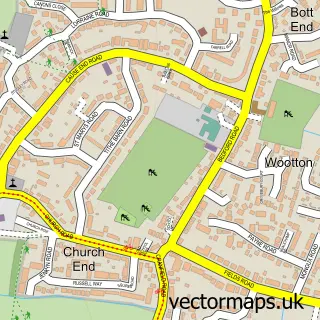
This Houghton Conquest street map is a detailed vector street map covering a 750m x 750m area. Select a larger area to create and download your own vector street map of Houghton Conquest.
The 750-metre map sample for Houghton Conquest covers 391 mapped buildings and approximately 10.6 km of road detail, of which 26 named roads are named. The immediate area includes 1 school and 3 MOT stations within 2 miles. To create a larger or custom map of Houghton Conquest, the map builder lets you define your own coverage area and download editable SVG, PDF and PNG files.
Create a larger editable map of Houghton Conquest
Choose any area you need and generate a high-quality vector map instantly. Perfect for print, planning, design, business and personal use.

This Houghton Conquest street map in Bedfordshire is available as downloadable SVG, PDF and PNG map files, or as a printed map for planning, business, display, education, local information and design work. You can also create a larger custom map area using the map selector.
What this Houghton Conquest map sample shows
Houghton Conquest lies within Houghton Conquest Cp parish, part of Houghton Conquest And Haynes ward in the Central Bedfordshire local authority area. The postcode geography for this area includes the MK postcode area, the MK45 postcode district and the MK45 3 postcode sector. Residents fall under the Nhs Bedfordshire, Luton And Milton Keynes Integrated Care Board for NHS services.
Local features near Houghton Conquest
Within 2 milesAmenities and services in and around Houghton Conquest.
Administrative and postcode information for Houghton Conquest
Houghton Conquest lies within Houghton Conquest Cp parish, part of Houghton Conquest And Haynes ward in the Central Bedfordshire local authority area. The postcode geography for this area includes the MK postcode area, the MK45 postcode district and the MK45 3 postcode sector. Residents fall under the Nhs Bedfordshire, Luton And Milton Keynes Integrated Care Board for NHS services.
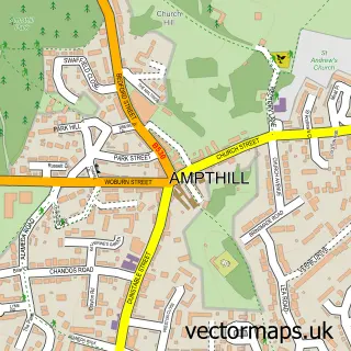
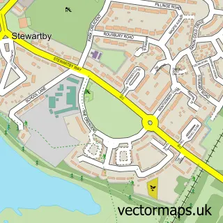
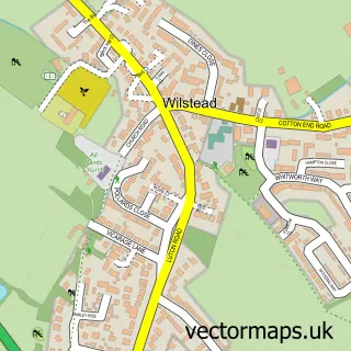
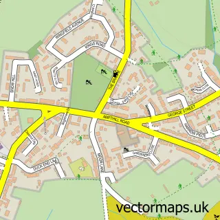
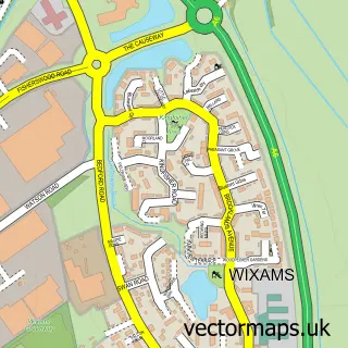
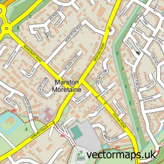
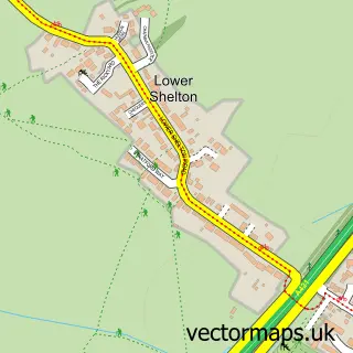
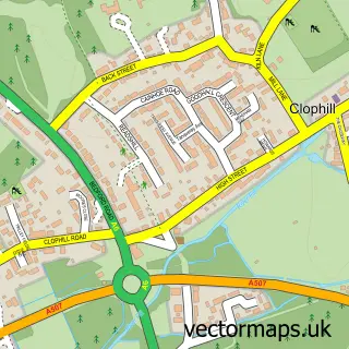
Nearby street map samples around Houghton Conquest

More street maps in Bedfordshire
750 metre map area coverage
Boundary, postcode and point of interest information for the 750m x 750m rectangle centred on this sample map.
Boundaries containing map centre
Constituency: Mid Bedfordshire Co Const
District: Central Bedfordshire
Icb: NHS Central East ICB
Parish: Houghton Conquest CP
Police Force: bedfordshire
Postcode District: MK45
Postcode Sector: MK45 3
Ward: Houghton Conquest & Haynes Ward
Nearby boundaries intersecting sample
No additional intersecting boundaries found.
Postcode coverage
POI category counts
Church Cathedral: 2
Engine Repair Service: 2
Marketing Agency: 2
Anglican Church: 1
Beauty Salon: 1
Building Supply Store: 1
Community Center: 1
Computer Wholesaler: 1
Convenience Store: 1
Currency Exchange: 1
Sample points of interest
- All Saints
- Chrissie Boop Lashes and Locks
- Boxx Build Solutions
- Church of All Saints, Houghton Conquest
- Houghton Conquest church roof appeal
- Houghton Conquest Village Hall
- Avanza IT Services Ltd.
- Nisa Local 35 High St
- Post Office Travel Money
- Lou’s Dog Walking Adventures
- Mat Rawlings Driving Skills
- Houghton Conquest Lower School
Create a larger editable map of Houghton Conquest
This sample shows only a 750 metre area. To create a larger map of Houghton Conquest, use our map builder to choose your own coverage area, add titles and download editable SVG, PDF and PNG files.
Create a custom map of Houghton Conquest