Vector Maps logo
Home Why it works Popular maps Districts Samples Customizer Create Your Map
VectorMaps.uk
Home Popular maps Districts Samples Customizer Create Your Map Privacy Disclaimer
Home / UK Maps / Lanarkshire / Lanark Map

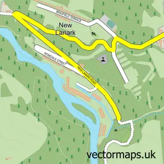
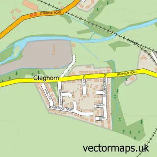
This Lanark street map is a detailed vector street map covering a 750m x 750m area. Select a larger area to create and download your own vector street map of Lanark.

Lanark is a town in Lanarkshire, in the South Scotland of Scotland. The settlement falls within the Lanark And Hamilton East parliamentary constituency. It is served by the ML11 postcode district, with ML11 7 as the local postcode sector.

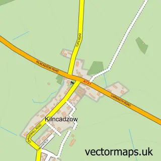
The 750-metre map sample for Lanark covers 407 mapped buildings and approximately 21.5 km of road detail, of which 58 named roads are named. The immediate area includes 1 railway station, 1 GP surgery within 2 miles, 9 pubs and 1 MOT station, with 3 within 2 miles. The wider area around Lanark features 7 tourism points of interest and 24 food and drink venues. To create a larger or custom map of Lanark, the map builder lets you define your own coverage area and download editable SVG, PDF and PNG files.

407Buildings
21.5 kmRoads
58Named roads
0Residents within 2 miles
Create your own

Create a larger editable map of Lanark

Choose any area you need and generate a high-quality vector map instantly. Perfect for print, planning, design, business and personal use.

Choose any location
Editable SVG files
Any size up to A0
PDF, PNG & more
Instant download
High quality guaranteed
Create My Custom Map
Secure, private & no credit card required
Lanark Vector Street Map
750m Sample
Lanark vector street map sample showing roads, buildings and local features in a 750 metre preview area
Buy Lanark Map Print from £12.95 Buy Lanark Digital Map from £6

This Lanark street map in Lanarkshire is available as downloadable SVG, PDF and PNG map files, or as a printed map for planning, business, display, education, local information and design work. You can also create a larger custom map area using the map selector.

What this Lanark map sample shows

Lanark lies within South Lanarkshire parish, part of Clydesdale North ward in the South Lanarkshire local authority area. The postcode geography for this area includes the ML postcode area, the ML11 postcode district and the ML11 7 postcode sector. Residents fall under the Lanarkshire for NHS services.

Local features near Lanark

Within 2 miles

Amenities and services in and around Lanark.

1 Railway stations
1 GP surgeries within 2 miles
1 MOT stations 3 within 2 miles
7 Tourism & leisure
24 Food & drink
9 Pubs
12 Healthcare POIs
1 Vehicle services

Counts are approximate and based on publicly available data.

Administrative and postcode information for Lanark

Lanark lies within South Lanarkshire parish, part of Clydesdale North ward in the South Lanarkshire local authority area. The postcode geography for this area includes the ML postcode area, the ML11 postcode district and the ML11 7 postcode sector. Residents fall under the Lanarkshire for NHS services.

Parish SOUTH LANARKSHIRE
Ward Clydesdale North
District / local authority South Lanarkshire
County Lanarkshire
Historic county Lanarkshire
Postcode district ML11
Postcode sector ML11 7
Parliamentary constituency Lanark and Hamilton East
Region South Scotland
Country Scotland

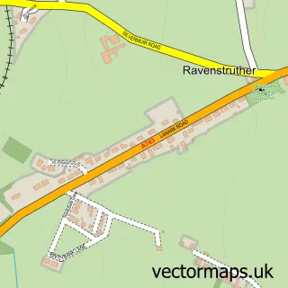
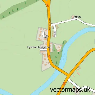
Nearby street map samples around Lanark

Street map sample of Glasgow, City of Glasgow Glasgow City - City of Glasgow - 22.5 miles Street map sample of New Lanark, Lanarkshire New Lanark Village - Lanarkshire - 0.7 miles Street map sample of Kirkfieldbank, Lanarkshire Kirkfieldbank Village - Lanarkshire - 1.2 miles Street map sample of Nemphlar, Lanarkshire Nemphlar Village - Lanarkshire - 1.7 miles Street map sample of Cartland, Lanarkshire Cartland Village - Lanarkshire - 1.8 miles Street map sample of Cleghorn, Lanarkshire Cleghorn Village - Lanarkshire - 2.0 miles Street map sample of Ravenstruther, Lanarkshire Ravenstruther Village - Lanarkshire - 2.3 miles Street map sample of Hyndford Bridge, Lanarkshire Hyndford Bridge Village - Lanarkshire - 2.3 miles Street map sample of Hazelbank, Lanarkshire Hazelbank Village - Lanarkshire - 3.0 miles Street map sample of Kilncadzow, Lanarkshire Kilncadzow Village - Lanarkshire - 3.1 miles

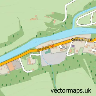
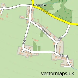
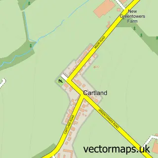
More street maps in Lanarkshire

Street map sample of New Lanark, Lanarkshire New Lanark Village - 0.7 miles Street map sample of Kirkfieldbank, Lanarkshire Kirkfieldbank Village - 1.2 miles Street map sample of Nemphlar, Lanarkshire Nemphlar Village - 1.7 miles Street map sample of Cartland, Lanarkshire Cartland Village - 1.8 miles Street map sample of Cleghorn, Lanarkshire Cleghorn Village - 2.0 miles

750 metre map area coverage

Boundary, postcode and point of interest information for the 750m x 750m rectangle centred on this sample map.

Boundaries containing map centre

Constituency: Hamilton and Clyde Valley Co Const

District: South Lanarkshire

Icb: Lanarkshire

Postcode District: ML11

Postcode Sector: ML11 7

Ward: Clydesdale North Ward

Nearby boundaries intersecting sample

Postcode Sector: ML11 9

Postcode coverage

ML11 ML11 7 ML11 9

POI category counts

Beauty Salon: 17

Hair Salon: 12

Barber: 10

Pub: 9

Flowers And Gifts Shop: 7

Professional Services: 7

Bakery: 6

Building Supply Store: 6

Cafe: 6

Church Cathedral: 6

Sample points of interest

  • G O Thomson & Co Accountant
  • ICW Accountancy Accountant
  • The Image Works Advertising Agency
  • St Vincent De Paul Charity Shop Antique Store
  • ML11 Architectural Design Architectural Designer
  • Tolbooth Lanark Art Gallery
  • Capability Scotland Assisted Living Facility
  • A B Associates Auto Loan Provider
  • Lanark Auto Parts And Supply Store
  • James Aitken Upholstery Auto Upholstery
  • Starting Grid Car Spares Automotive Parts And Accessories
  • LTEC Automotive Automotive Repair

Create a larger editable map of Lanark

This sample shows only a 750 metre area. To create a larger map of Lanark, use our map builder to choose your own coverage area, add titles and download editable SVG, PDF and PNG files.

Create a custom map of Lanark

Phone 01751 473136 | Copyright Vectormaps.uk 2026

Samples Customizer Privacy Disclaimer
Lanark Vector Street Map
Lanark enlarged street map sample showing a 750 metre preview area