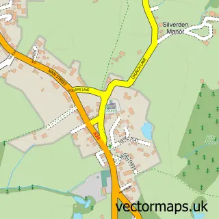
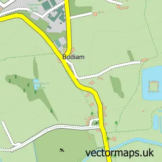
This Newenden street map is a detailed vector street map covering a 750m x 750m area. Select a larger area to create and download your own vector street map of Newenden.
The 750-metre map sample for Newenden covers 74 mapped buildings and approximately 4.8 km of road detail, of which 3 named roads are named. The immediate area includes 1 GP surgery within 2 miles, 2 pubs and 1 MOT station within 2 miles. The wider area around Newenden features 4 food and drink venues, 1 hotel and 1 campsite within 2 miles. To create a larger or custom map of Newenden, the map builder lets you define your own coverage area and download editable SVG, PDF and PNG files.
Create a larger editable map of Newenden
Choose any area you need and generate a high-quality vector map instantly. Perfect for print, planning, design, business and personal use.

This Newenden street map in Kent is available as downloadable SVG, PDF and PNG map files, or as a printed map for planning, business, display, education, local information and design work. You can also create a larger custom map area using the map selector.
What this Newenden map sample shows
Newenden lies within Newenden Cp parish, part of Rolvenden & Tenterden West ward in the Ashford District (B) local authority area. The postcode geography for this area includes the TN postcode area, the TN18 postcode district and the TN18 5 postcode sector. Residents fall under the Nhs Kent And Medway Integrated Care Board for NHS services.
Local features near Newenden
Within 2 milesAmenities and services in and around Newenden.
Administrative and postcode information for Newenden
Newenden lies within Newenden Cp parish, part of Rolvenden & Tenterden West ward in the Ashford District (B) local authority area. The postcode geography for this area includes the TN postcode area, the TN18 postcode district and the TN18 5 postcode sector. Residents fall under the Nhs Kent And Medway Integrated Care Board for NHS services.
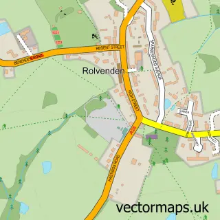
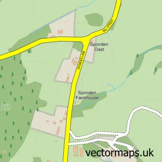
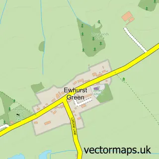
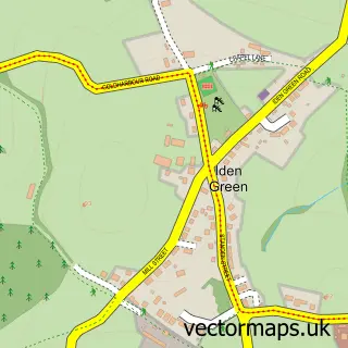
Nearby street map samples around Newenden
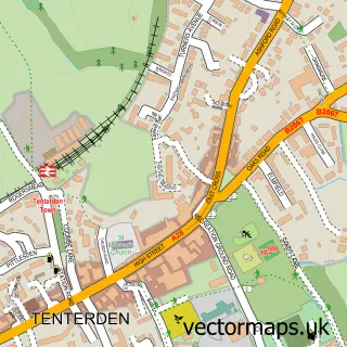

More street maps in Kent
750 metre map area coverage
Boundary, postcode and point of interest information for the 750m x 750m rectangle centred on this sample map.
Boundaries containing map centre
Constituency: Weald of Kent Co Const
County: Kent County
District: Ashford District (B)
Icb: NHS Kent and Medway ICB
Parish: Newenden CP
Police Force: kent
Postcode District: TN18
Postcode Sector: TN18 5
Ward: Rolvenden & Tenterden West Ward
Nearby boundaries intersecting sample
Constituency: Bexhill and Battle Co Const
County: East Sussex County
District: Rother District
Icb: NHS Surrey and Sussex ICB
Parish: Northiam CP
Police Force: sussex
Postcode District: TN31
Postcode Sector: TN31 6
Ward: Northern Rother Ward
Postcode coverage
POI category counts
Cafe: 2
Pub: 2
Anglican Church: 1
Art Gallery: 1
Baseball Field: 1
Boat Rental And Training: 1
Business Management Services: 1
Doner Kebab: 1
Furniture Store: 1
Garbage Collection Service: 1
Sample points of interest
- St. Peter, Newenden
- Ingrid Nilson
- Newenden Cricket Club
- Bodiam Boating Station
- I Nilson
- Lime Wharf Cafe
- Nibbles
- Newenden Quality Kebab
- Wheeler and Son Bespoke Furniture and Kitchens
- The Dumpy Bag Company
- The Oast
- Bourne Amenity Ltd
Create a larger editable map of Newenden
This sample shows only a 750 metre area. To create a larger map of Newenden, use our map builder to choose your own coverage area, add titles and download editable SVG, PDF and PNG files.
Create a custom map of Newenden