This Oban street map is a detailed vector street map covering a 750m x 750m area. Select a larger area to create and download your own vector street map of Oban.
The 750-metre map sample for Oban covers 71 mapped buildings and approximately 15.1 km of road detail, of which 42 named roads are named. The immediate area includes 1 railway station, 1 GP surgery, 6 pubs and 2 MOT stations, with 6 within 2 miles. The wider area around Oban features 8 tourism points of interest, 28 food and drink venues and 22 hotels. To create a larger or custom map of Oban, the map builder lets you define your own coverage area and download editable SVG, PDF and PNG files.
Create a larger editable map of Oban
Choose any area you need and generate a high-quality vector map instantly. Perfect for print, planning, design, business and personal use.

This Oban street map in Argyll and Bute is available as downloadable SVG, PDF and PNG map files, or as a printed map for planning, business, display, education, local information and design work. You can also create a larger custom map area using the map selector.
What this Oban map sample shows
Oban lies within Argyll And Bute parish, part of Oban South And The Isles ward in the Argyll And Bute local authority area. The postcode geography for this area includes the PA postcode area, the PA34 postcode district and the PA34 4 postcode sector. Residents fall under the Highland for NHS services.
Local features near Oban
Within 2 milesAmenities and services in and around Oban.
Administrative and postcode information for Oban
The local authority covering Oban is Argyll And Bute, within the county of Argyll And Bute. The settlement lies within Oban South And The Isles ward and Argyll And Bute civil parish. The PA34 postcode district and PA34 4 postcode sector serve the immediate area. NHS provision in the area is delivered through Highland.
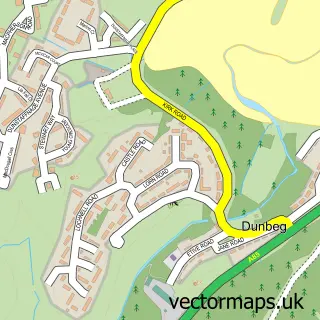
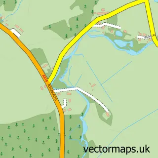
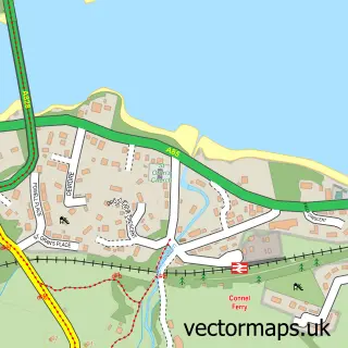
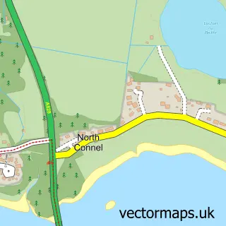
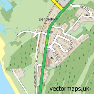
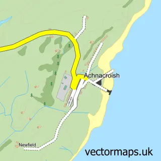
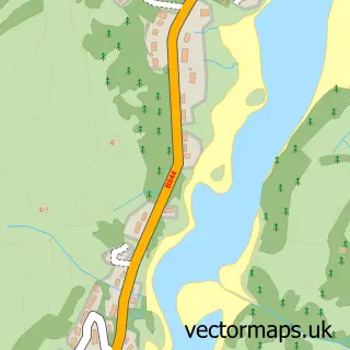
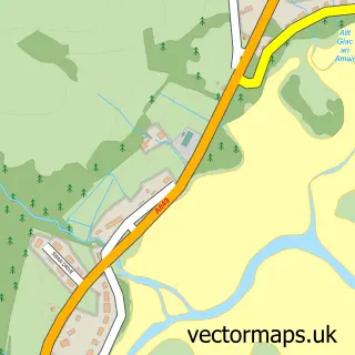
Nearby street map samples around Oban


More street maps in Argyll and Bute
750 metre map area coverage
Boundary, postcode and point of interest information for the 750m x 750m rectangle centred on this sample map.
Boundaries containing map centre
Constituency: Argyll, Bute and South Lochaber Co Const
District: Argyll and Bute
Icb: Highland
Postcode District: PA34
Postcode Sector: PA34 4
Ward: Oban South and the Isles Ward
Nearby boundaries intersecting sample
Postcode Sector: PA34 5
Ward: Oban North and Lorn Ward
Postcode coverage
POI category counts
Hotel: 22
Clothing Store: 13
Beauty Salon: 11
Cafe: 11
Bed And Breakfast: 10
Flowers And Gifts Shop: 10
Hair Salon: 10
Restaurant: 8
Seafood Restaurant: 7
Bank Credit Union: 6
Sample points of interest
- Ainsley Smith and Co
- R A Clement Associates
- Wylie & Bisset
- The Happy Wee Health Club
- Argyll Training
- Therapeutic Massage & Reflexology at Bruce-Low Hair
- Bracewell Stirling Consulting
- Fair Planning and Design
- The Wee Gallery
- Alba the Artshop
- Katya Embroidery
- Made in Argyll
Create a larger editable map of Oban
This sample shows only a 750 metre area. To create a larger map of Oban, use our map builder to choose your own coverage area, add titles and download editable SVG, PDF and PNG files.
Create a custom map of Oban