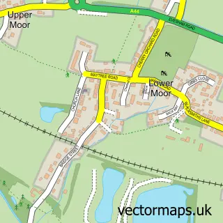
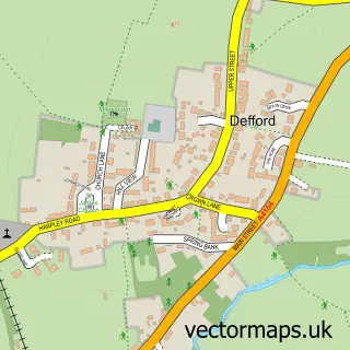
This Pershore street map is a detailed vector street map covering a 750m x 750m area. Select a larger area to create and download your own vector street map of Pershore.
The 750-metre map sample for Pershore covers 230 mapped buildings and approximately 33.2 km of road detail, of which 26 named roads are named. The immediate area includes 1 school, 1 GP surgery, with 2 within 2 miles, 7 pubs and 1 MOT station, with 7 within 2 miles. The wider area around Pershore features 4 tourism points of interest, 23 food and drink venues and 2 hotels. To create a larger or custom map of Pershore, the map builder lets you define your own coverage area and download editable SVG, PDF and PNG files.
Create a larger editable map of Pershore
Choose any area you need and generate a high-quality vector map instantly. Perfect for print, planning, design, business and personal use.

This Pershore street map in Worcestershire is available as downloadable SVG, PDF and PNG map files, or as a printed map for planning, business, display, education, local information and design work. You can also create a larger custom map area using the map selector.
What this Pershore map sample shows
Pershore lies within Pershore Cp parish, part of Pershore ward in the Wychavon District local authority area. The postcode geography for this area includes the WR postcode area, the WR10 postcode district and the WR10 1 postcode sector. Residents fall under the Nhs Herefordshire And Worcestershire Integrated Care Board for NHS services.
Local features near Pershore
Within 2 milesAmenities and services in and around Pershore.
Administrative and postcode information for Pershore
Pershore lies within Pershore Cp parish, part of Pershore ward in the Wychavon District local authority area. The postcode geography for this area includes the WR postcode area, the WR10 postcode district and the WR10 1 postcode sector. Residents fall under the Nhs Herefordshire And Worcestershire Integrated Care Board for NHS services.
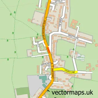
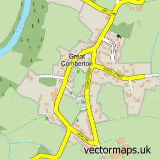
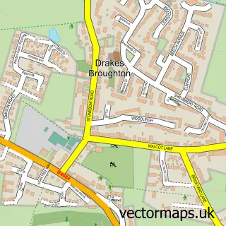
Nearby street map samples around Pershore

More street maps in Worcestershire
750 metre map area coverage
Boundary, postcode and point of interest information for the 750m x 750m rectangle centred on this sample map.
Boundaries containing map centre
Constituency: West Worcestershire Co Const
County: Worcestershire County
District: Wychavon District
Icb: NHS Herefordshire and Worcestershire ICB
Parish: Pershore CP
Police Force: west mercia
Postcode District: WR10
Postcode Sector: WR10 1
Ward: Pershore Ward
Nearby boundaries intersecting sample
Constituency: Droitwich and Evesham Co Const
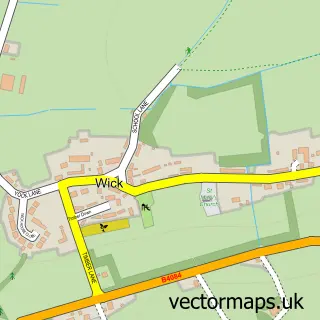
Parish: Wick CP
Postcode Sector: WR10 3
Ward: Fladbury Ward
Postcode coverage
POI category counts
Professional Services: 10
Beauty Salon: 8
Charity Organization: 8
Flowers And Gifts Shop: 8
Real Estate Agent: 8
Pub: 7
Cafe: 6
Hair Salon: 6
Barber: 5
Coffee Shop: 5
Sample points of interest
- Azets
- Clifton-Crick Sharp & Co
- The Book Keepers - Pershore Ltd
- MF Martial Arts - Pershore
- Malvern College Outdoor Pursuits
- Pranayama Yoga & Meditation
- Pershore Acupuncture Clinic
- The Pershore Acupuncture Clinic
- Bawk Design
- Real Branding
- Poole Phillips Associates
- Parsonson Planning Consultancy
Create a larger editable map of Pershore
This sample shows only a 750 metre area. To create a larger map of Pershore, use our map builder to choose your own coverage area, add titles and download editable SVG, PDF and PNG files.
Create a custom map of Pershore