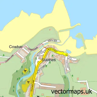
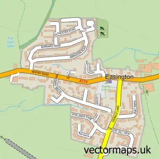
This Runswick Bay street map is a detailed vector street map covering a 750m x 750m area. Select a larger area to create and download your own vector street map of Runswick Bay.
The 750-metre map sample for Runswick Bay covers 59 mapped buildings and approximately 5.3 km of road detail, of which 4 named roads are named. The immediate area includes 1 pub and 1 MOT station within 2 miles. The wider area around Runswick Bay features 3 tourism points of interest, 3 food and drink venues and 2 hotels. To create a larger or custom map of Runswick Bay, the map builder lets you define your own coverage area and download editable SVG, PDF and PNG files.
Create a larger editable map of Runswick Bay
Choose any area you need and generate a high-quality vector map instantly. Perfect for print, planning, design, business and personal use.

This Runswick Bay street map in North Yorkshire is available as downloadable SVG, PDF and PNG map files, or as a printed map for planning, business, display, education, local information and design work. You can also create a larger custom map area using the map selector.
What this Runswick Bay map sample shows
Runswick Bay lies within Hinderwell Cp parish, part of Danby & Mulgrave ward in the North Yorkshire local authority area. The postcode geography for this area includes the TS postcode area, the TS13 postcode district and the TS13 5 postcode sector. Residents fall under the Nhs Humber And North Yorkshire Integrated Care Board for NHS services.
Local features near Runswick Bay
Within 2 milesAmenities and services in and around Runswick Bay.
Administrative and postcode information for Runswick Bay
The local authority covering Runswick Bay is North Yorkshire, within the county of North Yorkshire. The settlement lies within Danby & Mulgrave ward and Hinderwell Cp civil parish. The TS13 postcode district and TS13 5 postcode sector serve the immediate area. NHS provision in the area is delivered through South Tees Hospitals Nhs Foundation Trust.
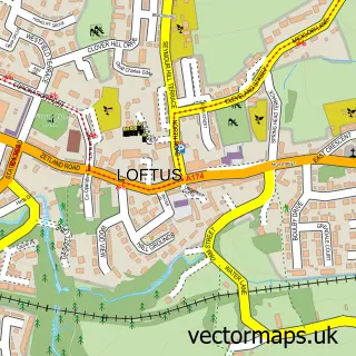
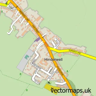
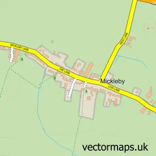
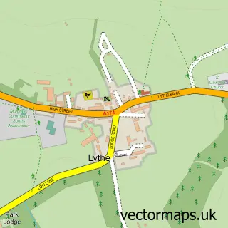
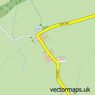
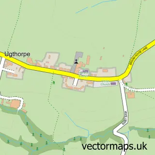
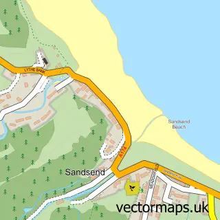
Nearby street map samples around Runswick Bay

More street maps in North Yorkshire
750 metre map area coverage
Boundary, postcode and point of interest information for the 750m x 750m rectangle centred on this sample map.
Boundaries containing map centre
Constituency: Scarborough and Whitby Co Const
District: North Yorkshire
Icb: NHS Humber and North Yorkshire ICB
Parish: Hinderwell CP
Police Force: north yorkshire
Postcode District: TS13
Postcode Sector: TS13 5
Nearby boundaries intersecting sample
Parish: Ellerby CP, Mickleby CP
Postcode coverage
POI category counts
Self Catering Accommodation: 3
Campground: 2
Hotel: 2
Bed And Breakfast: 1
Boat Rental And Training: 1
Car Broker: 1
Coffee Shop: 1
Energy Company: 1
Ev Charging Station: 1
Gastropub: 1
Sample points of interest
- Cockpit House
- Barefoot Kayak
- Andercote
- Runswick Bay Caravan and Camping Park
- The Runswick Bay Hotel
- Tides Coffee Bar and Beach Shop
- Connected Kerb Charging Station
- Connected Kerb Charging Stations
- Royal Hotel - Runswick Bay
- The Pines Holiday Lodges
- Cliffemount Runswick Bay
- Runswick Bay Hotel
Create a larger editable map of Runswick Bay
This sample shows only a 750 metre area. To create a larger map of Runswick Bay, use our map builder to choose your own coverage area, add titles and download editable SVG, PDF and PNG files.
Create a custom map of Runswick Bay