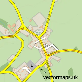
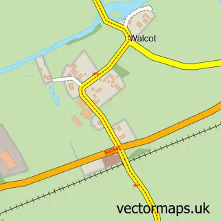
This Wellington street map is a detailed vector street map covering a 750m x 750m area. Select a larger area to create and download your own vector street map of Wellington.
The 750-metre map sample for Wellington covers 377 mapped buildings and approximately 22.6 km of road detail, of which 47 named roads are named. The immediate area includes 1 railway station, 1 GP surgery, with 2 within 2 miles, 15 pubs and 4 MOT stations, with 12 within 2 miles. The wider area around Wellington features 5 tourism points of interest, 38 food and drink venues and 2 hotels. To create a larger or custom map of Wellington, the map builder lets you define your own coverage area and download editable SVG, PDF and PNG files.
Create a larger editable map of Wellington
Choose any area you need and generate a high-quality vector map instantly. Perfect for print, planning, design, business and personal use.

This Wellington street map in Shropshire is available as downloadable SVG, PDF and PNG map files, or as a printed map for planning, business, display, education, local information and design work. You can also create a larger custom map area using the map selector.
What this Wellington map sample shows
Wellington lies within Wellington Cp parish, part of College ward in the Telford And Wrekin (B) local authority area. The postcode geography for this area includes the TF postcode area, the TF1 postcode district and the TF1 3 postcode sector. Residents fall under the Nhs Shropshire, Telford And Wrekin Integrated Care Board for NHS services.
Local features near Wellington
Within 2 milesAmenities and services in and around Wellington.
Administrative and postcode information for Wellington
The local authority covering Wellington is Telford And Wrekin (B), within the county of Shropshire. The settlement lies within College ward and Wellington Cp civil parish. The TF1 postcode district and TF1 3 postcode sector serve the immediate area. NHS provision in the area is delivered through The Shrewsbury And Telford Hospital Nhs Trust.
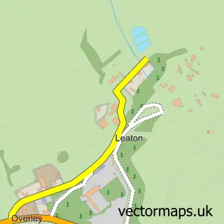
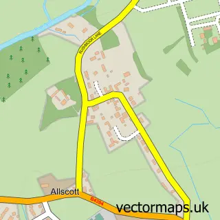
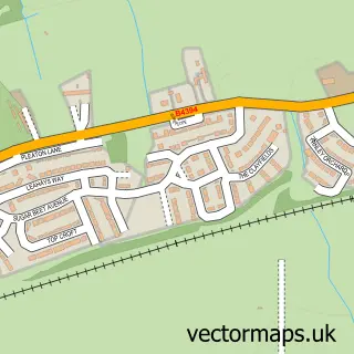
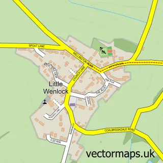
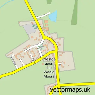
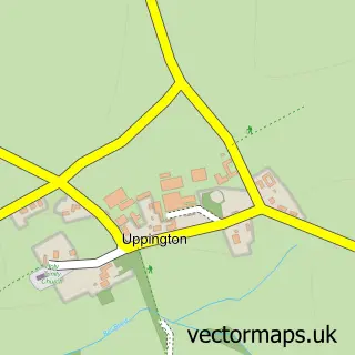
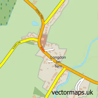
Nearby street map samples around Wellington

More street maps in Shropshire
750 metre map area coverage
Boundary, postcode and point of interest information for the 750m x 750m rectangle centred on this sample map.
Boundaries containing map centre
Constituency: The Wrekin Co Const
District: Telford and Wrekin (B)
Icb: NHS Shropshire Telford and Wrekin ICB
Parish: Wellington CP
Police Force: west mercia
Postcode District: TF1
Postcode Sector: TF1 1
Ward: Haygate & Park Ward
Nearby boundaries intersecting sample
Postcode Sector: TF1 2, TF1 3
Ward: Arleston & College Ward, Ercall Ward
Postcode coverage
POI category counts
Beauty Salon: 19
Pub: 15
Professional Services: 14
Real Estate Agent: 12
Barber: 11
Employment Agencies: 11
Cafe: 10
Flowers And Gifts Shop: 10
Hair Salon: 10
Dentist: 9
Sample points of interest
- Certax Accounting Telford
- D E Ball and Co Ltd
- TaxCellent
- Herbal Medical Centre Chinese Medical Supplies
- Wellington All Saints
- Antiques Corner - Wellington
- biT Group
- Benvelo the Magician
- Robert Guy Fine Artist
- Saffron Indian Takeaway
- Oriental Chef
- Touch Food
Create a larger editable map of Wellington
This sample shows only a 750 metre area. To create a larger map of Wellington, use our map builder to choose your own coverage area, add titles and download editable SVG, PDF and PNG files.
Create a custom map of Wellington