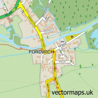
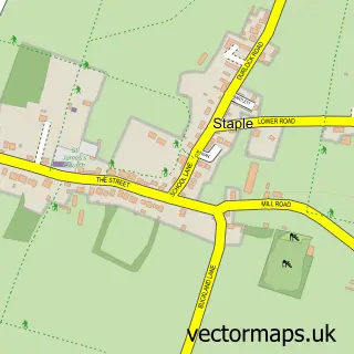
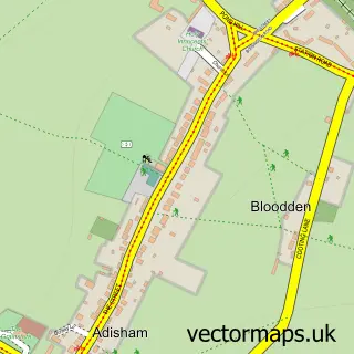
This Wingham street map is a detailed vector street map covering a 750m x 750m area. Select a larger area to create and download your own vector street map of Wingham.
The 750-metre map sample for Wingham covers 305 mapped buildings and approximately 8.8 km of road detail, of which 19 named roads are named. The immediate area includes 1 school, 1 pub and 2 MOT stations within 2 miles. The wider area around Wingham features 3 food and drink venues. To create a larger or custom map of Wingham, the map builder lets you define your own coverage area and download editable SVG, PDF and PNG files.
Create a larger editable map of Wingham
Choose any area you need and generate a high-quality vector map instantly. Perfect for print, planning, design, business and personal use.

This Wingham street map in Kent is available as downloadable SVG, PDF and PNG map files, or as a printed map for planning, business, display, education, local information and design work. You can also create a larger custom map area using the map selector.
What this Wingham map sample shows
Wingham lies within Wingham Cp parish, part of Little Stour & Ashstone ward in the Dover District local authority area. The postcode geography for this area includes the CT postcode area, the CT3 postcode district and the CT3 1 postcode sector. Residents fall under the Nhs Kent And Medway Integrated Care Board for NHS services.
Local features near Wingham
Within 2 milesAmenities and services in and around Wingham.
Administrative and postcode information for Wingham
Wingham lies within Wingham Cp parish, part of Little Stour & Ashstone ward in the Dover District local authority area. The postcode geography for this area includes the CT postcode area, the CT3 postcode district and the CT3 1 postcode sector. Residents fall under the Nhs Kent And Medway Integrated Care Board for NHS services.
Nearby street map samples around Wingham

More street maps in Kent
750 metre map area coverage
Boundary, postcode and point of interest information for the 750m x 750m rectangle centred on this sample map.
Boundaries containing map centre
Constituency: Herne Bay and Sandwich Co Const
County: Kent County
District: Dover District
Icb: NHS Kent and Medway ICB
Parish: Wingham CP
Police Force: kent
Postcode District: CT3
Postcode Sector: CT3 1
Ward: Little Stour & Ashstone Ward
Nearby boundaries intersecting sample
No additional intersecting boundaries found.
Postcode coverage
POI category counts
Automotive Repair: 3
Church Cathedral: 3
Retirement Home: 3
Bakery: 2
Convenience Store: 2
Doctor: 2
Photographer: 2
Real Estate Agent: 2
Restaurant: 2
Anglican Church: 1
Sample points of interest
- St Mary the Virgin
- Jocelyn Cousins
- Riverbank
- Roger J Goldfinch & Sons Electrical Services
- Paul Clifford Motor Services Ltd.
- Clements Car Co
- Horizon Motor Group
- Kent Body Shop
- E T Wilmshurt
- Wilmshurst Bakery
- Lloyds Bank
- Natwest
Create a larger editable map of Wingham
This sample shows only a 750 metre area. To create a larger map of Wingham, use our map builder to choose your own coverage area, add titles and download editable SVG, PDF and PNG files.
Create a custom map of Wingham