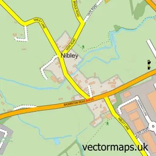
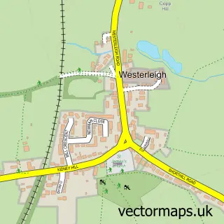
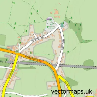
This Yate street map is a detailed vector street map covering a 750m x 750m area. Select a larger area to create and download your own vector street map of Yate.
The 750-metre map sample for Yate covers 299 mapped buildings and approximately 17.4 km of road detail, of which 32 named roads are named. The immediate area includes 1 school, 3 GP surgeries, with 4 within 2 miles, 7 pubs and 11 MOT stations within 2 miles. The wider area around Yate features 2 tourism points of interest and 21 food and drink venues. To create a larger or custom map of Yate, the map builder lets you define your own coverage area and download editable SVG, PDF and PNG files.
Create a larger editable map of Yate
Choose any area you need and generate a high-quality vector map instantly. Perfect for print, planning, design, business and personal use.

This Yate street map in Gloucestershire is available as downloadable SVG, PDF and PNG map files, or as a printed map for planning, business, display, education, local information and design work. You can also create a larger custom map area using the map selector.
What this Yate map sample shows
Yate lies within Yate Cp parish, part of Yate Central ward in the South Gloucestershire local authority area. The postcode geography for this area includes the BS postcode area, the BS37 postcode district and the BS37 4 postcode sector. Residents fall under the Nhs Bristol, North Somerset And South Gloucestershire Integrated Care Board for NHS services.
Local features near Yate
Within 2 milesAmenities and services in and around Yate.
Administrative and postcode information for Yate
Yate lies within Yate Cp parish, part of Yate Central ward in the South Gloucestershire local authority area. The postcode geography for this area includes the BS postcode area, the BS37 postcode district and the BS37 4 postcode sector. Residents fall under the Nhs Bristol, North Somerset And South Gloucestershire Integrated Care Board for NHS services.
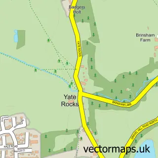
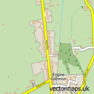
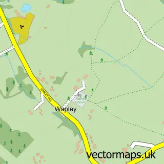
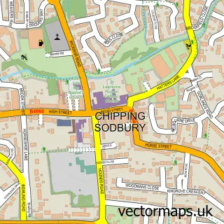
Nearby street map samples around Yate

More street maps in Gloucestershire
750 metre map area coverage
Boundary, postcode and point of interest information for the 750m x 750m rectangle centred on this sample map.
Boundaries containing map centre
Constituency: Thornbury and Yate Co Const
District: South Gloucestershire
Icb: NHS Bristol North Somerset and South Gloucestershire ICB
Parish: Yate CP
Police Force: avon and somerset
Postcode District: BS37
Postcode Sector: BS37 4
Ward: Yate Central Ward
Nearby boundaries intersecting sample
Postcode Sector: BS37 5, BS37 7
Postcode coverage
POI category counts
Clothing Store: 9
Coffee Shop: 9
Gym: 8
Supermarket: 8
Bank Credit Union: 7
Charity Organization: 7
Discount Store: 7
Fast Food Restaurant: 7
Pub: 7
Beauty Salon: 6
Sample points of interest
- Therapy Health & Beauty Clinic
- St Mary's Church
- St Mary's, Yate.
- Children's Hospice South West
- St Peters Hospice
- The Home Crafters
- Armadillo Youth Café Yate
- Freeways
- Hampshire House
- Cash machine 4-6 West Walk
- Cashpoint® 3 East Walk
- ESSO Precinct (Rontec)
Create a larger editable map of Yate
This sample shows only a 750 metre area. To create a larger map of Yate, use our map builder to choose your own coverage area, add titles and download editable SVG, PDF and PNG files.
Create a custom map of Yate