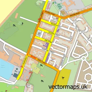
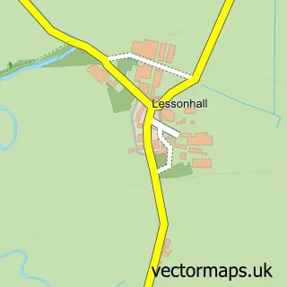
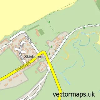
This Abbeytown street map is a detailed vector street map covering a 750m x 750m area. Select a larger area to create and download your own vector street map of Abbeytown.
The 750-metre map sample for Abbeytown covers 160 mapped buildings and approximately 15.7 km of road detail, of which 6 named roads are named. The immediate area includes 1 school, 1 pub and 1 MOT station within 2 miles. The wider area around Abbeytown features 1 food and drink venue. To create a larger or custom map of Abbeytown, the map builder lets you define your own coverage area and download editable SVG, PDF and PNG files.
Create a larger editable map of Abbeytown
Choose any area you need and generate a high-quality vector map instantly. Perfect for print, planning, design, business and personal use.

This Abbeytown street map in Cumbria is available as downloadable SVG, PDF and PNG map files, or as a printed map for planning, business, display, education, local information and design work. You can also create a larger custom map area using the map selector.
What this Abbeytown map sample shows
Abbeytown lies within Holme Abbey Cp parish, part of Silloth & Solway Coast ward in the Cumberland local authority area. The postcode geography for this area includes the CA postcode area, the CA7 postcode district and the CA7 4 postcode sector. Residents fall under the Nhs North East And North Cumbria Integrated Care Board for NHS services.
Local features near Abbeytown
Within 2 milesAmenities and services in and around Abbeytown.
Administrative and postcode information for Abbeytown
The local authority covering Abbeytown is Cumberland, within the county of Cumbria. The settlement lies within Silloth & Solway Coast ward and Holme Abbey Cp civil parish. The CA7 postcode district and CA7 4 postcode sector serve the immediate area. NHS provision in the area is delivered through North Cumbria Integrated Care Nhs Foundation Trust.
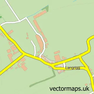
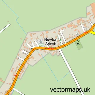
Nearby street map samples around Abbeytown

More street maps in Cumbria
750 metre map area coverage
Boundary, postcode and point of interest information for the 750m x 750m rectangle centred on this sample map.
Boundaries containing map centre
Constituency: Penrith and Solway Co Const
District: Cumberland
Icb: NHS North East and North Cumbria ICB
Parish: Holme Abbey CP
Police Force: cumbria
Postcode District: CA7
Postcode Sector: CA7 4
Ward: Solway Coast Ward
Nearby boundaries intersecting sample
No additional intersecting boundaries found.
Postcode coverage
POI category counts
Convenience Store: 4
Business Management Services: 2
Church Cathedral: 2
Accountant: 1
Anglican Church: 1
Beauty Salon: 1
Elementary School: 1
Farm: 1
Fence And Gate Sales Service: 1
Hair Salon: 1
Sample points of interest
- Nova Bookkeeping and Accountancy Services
- St Mary, Holme Cultram, Abbeytown
- elemis
- W Ferguson Fuels
- W. Ferguson Ltd.
- Holme Cultram Abbey
- St Mary's Church
- Harrison Store Ltd
- Premier
- Premier Harrisons Stores
- SPAR Harrisons Abbeytown
- Holm Cultram Abbey C of E Primary School
Create a larger editable map of Abbeytown
This sample shows only a 750 metre area. To create a larger map of Abbeytown, use our map builder to choose your own coverage area, add titles and download editable SVG, PDF and PNG files.
Create a custom map of Abbeytown