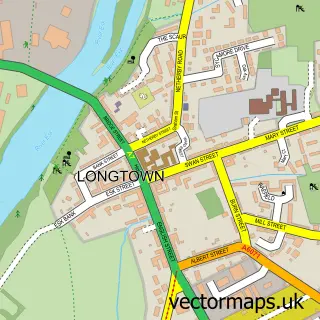
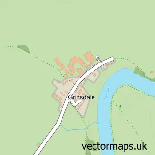
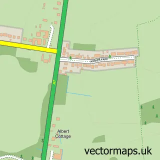
This Carlisle street map is a detailed vector street map covering a 750m x 750m area. Select a larger area to create and download your own vector street map of Carlisle.
The 750-metre map sample for Carlisle covers 133 mapped buildings and approximately 24.2 km of road detail, of which 53 named roads are named. The immediate area includes 3 schools, 1 GP surgery, with 5 within 2 miles, 13 pubs and 31 MOT stations within 2 miles. The wider area around Carlisle features 13 tourism points of interest, 72 food and drink venues and 10 hotels. To create a larger or custom map of Carlisle, the map builder lets you define your own coverage area and download editable SVG, PDF and PNG files.
Create a larger editable map of Carlisle
Choose any area you need and generate a high-quality vector map instantly. Perfect for print, planning, design, business and personal use.

This Carlisle street map in Cumbria is available as downloadable SVG, PDF and PNG map files, or as a printed map for planning, business, display, education, local information and design work. You can also create a larger custom map area using the map selector.
What this Carlisle map sample shows
Carlisle lies within Cumberland parish, part of Denton Holme & Morton South ward in the Cumberland local authority area. The postcode geography for this area includes the CA postcode area, the CA2 postcode district and the CA2 6 postcode sector. Residents fall under the Nhs North East And North Cumbria Integrated Care Board for NHS services.
Local features near Carlisle
Within 2 milesAmenities and services in and around Carlisle.
Administrative and postcode information for Carlisle
Carlisle lies within Cumberland parish, part of Denton Holme & Morton South ward in the Cumberland local authority area. The postcode geography for this area includes the CA postcode area, the CA2 postcode district and the CA2 6 postcode sector. Residents fall under the Nhs North East And North Cumbria Integrated Care Board for NHS services.
Nearby street map samples around Carlisle
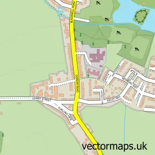
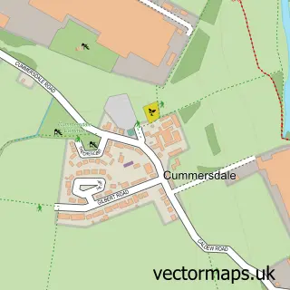
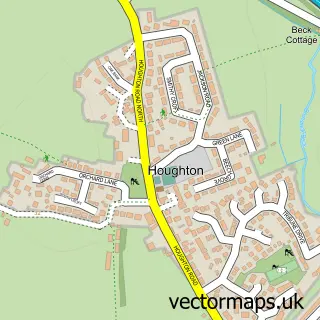
More street maps in Cumbria
750 metre map area coverage
Boundary, postcode and point of interest information for the 750m x 750m rectangle centred on this sample map.
Boundaries containing map centre
Constituency: Carlisle Co Const
District: Cumberland
Icb: NHS North East and North Cumbria ICB
Police Force: cumbria
Postcode District: CA3
Postcode Sector: CA3 8
Ward: Castle Ward
Nearby boundaries intersecting sample
Postcode District: CA1, CA2
Postcode Sector: CA1 1, CA2 5
Ward: Currock Ward, Denton Holme Ward
Postcode coverage
POI category counts
Beauty Salon: 38
Clothing Store: 38
Hair Salon: 32
Tattoo And Piercing: 28
Cafe: 27
Beauty And Spa: 24
Bar: 20
Coffee Shop: 17
Mobile Phone Store: 16
Professional Services: 16
Sample points of interest
- CADAS Carlisle
- Recovery Steps Cumbria (Carlisle)
- Cumbria Payroll Services
- Grainger & Platt
- Lamont Pridmore
- Stuart Armstrong & Co
- Acupuncture Cumbria
- Ruth Irving Acupuncture & Yoga
- Skill Development Program in India
- Ers
- RadioWorks Regional
- Tennant Design
Create a larger editable map of Carlisle
This sample shows only a 750 metre area. To create a larger map of Carlisle, use our map builder to choose your own coverage area, add titles and download editable SVG, PDF and PNG files.
Create a custom map of Carlisle