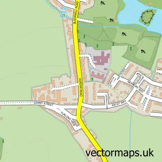
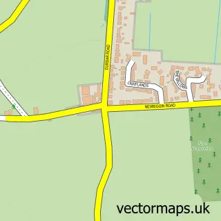
This Carleton street map is a detailed vector street map covering a 750m x 750m area. Select a larger area to create and download your own vector street map of Carleton.
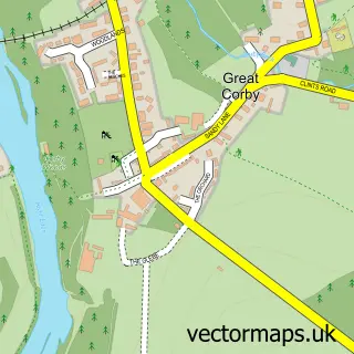
The 750-metre map sample for Carleton covers 109 mapped buildings and approximately 6.0 km of road detail, of which 6 named roads are named. The immediate area includes 1 GP surgery within 2 miles and 11 MOT stations within 2 miles. The wider area around Carleton features 2 food and drink venues. To create a larger or custom map of Carleton, the map builder lets you define your own coverage area and download editable SVG, PDF and PNG files.
Create a larger editable map of Carleton
Choose any area you need and generate a high-quality vector map instantly. Perfect for print, planning, design, business and personal use.

This Carleton street map in Cumbria is available as downloadable SVG, PDF and PNG map files, or as a printed map for planning, business, display, education, local information and design work. You can also create a larger custom map area using the map selector.
What this Carleton map sample shows
Carleton lies within St. Cuthbert Without Cp parish, part of Dalston & Burgh ward in the Cumberland local authority area. The postcode geography for this area includes the CA postcode area, the CA1 postcode district and the CA1 3 postcode sector. Residents fall under the Nhs North East And North Cumbria Integrated Care Board for NHS services.
Local features near Carleton
Within 2 milesAmenities and services in and around Carleton.
Administrative and postcode information for Carleton
Carleton lies within St. Cuthbert Without Cp parish, part of Dalston & Burgh ward in the Cumberland local authority area. The postcode geography for this area includes the CA postcode area, the CA1 postcode district and the CA1 3 postcode sector. Residents fall under the Nhs North East And North Cumbria Integrated Care Board for NHS services.
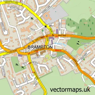
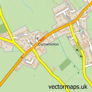
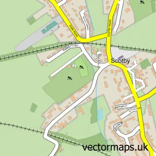
Nearby street map samples around Carleton

More street maps in Cumbria
750 metre map area coverage
Boundary, postcode and point of interest information for the 750m x 750m rectangle centred on this sample map.
Boundaries containing map centre
Constituency: Penrith and Solway Co Const
District: Cumberland
Icb: NHS North East and North Cumbria ICB
Parish: St. Cuthbert Without CP
Police Force: cumbria
Postcode District: CA1
Postcode Sector: CA1 3
Ward: Wetheral Ward
Nearby boundaries intersecting sample
Constituency: Carlisle Co Const
Postcode District: CA4
Postcode Sector: CA4 0
Ward: Harraby South Ward
Postcode coverage
POI category counts
Indian Restaurant: 2
Restaurant: 2
Bar: 1
Car Dealer: 1
Construction Services: 1
Dairy Stores: 1
Farm: 1
Fast Food Restaurant: 1
Health And Medical: 1
Home Developer: 1
Sample points of interest
- The Nosey Cow Inn
- Intercars of Penrith and Carlisle
- Contract Scaffolding Services
- The Milk Shed
- The Beeches Farm
- The Tipsy Tomato
- The Clinic - Medical Aesthetics
- Persimmon Homes Speckled Wood
- The Dhaka
- Zurri Bar & Restaurant
- Silverlink Clinics
- Bluerare
Create a larger editable map of Carleton
This sample shows only a 750 metre area. To create a larger map of Carleton, use our map builder to choose your own coverage area, add titles and download editable SVG, PDF and PNG files.
Create a custom map of Carleton