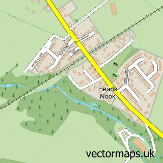
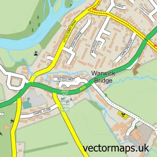
This Great Corby street map is a detailed vector street map covering a 750m x 750m area. Select a larger area to create and download your own vector street map of Great Corby.
The 750-metre map sample for Great Corby covers 120 mapped buildings and approximately 7.7 km of road detail, of which 6 named roads are named. The immediate area includes 1 school. The wider area around Great Corby features 1 tourism point of interest and 1 food and drink venue. To create a larger or custom map of Great Corby, the map builder lets you define your own coverage area and download editable SVG, PDF and PNG files.
Create a larger editable map of Great Corby
Choose any area you need and generate a high-quality vector map instantly. Perfect for print, planning, design, business and personal use.

This Great Corby street map in Cumbria is available as downloadable SVG, PDF and PNG map files, or as a printed map for planning, business, display, education, local information and design work. You can also create a larger custom map area using the map selector.
What this Great Corby map sample shows
Great Corby lies within Wetheral Cp parish, part of Wetheral & Corby ward in the Cumberland local authority area. The postcode geography for this area includes the CA postcode area, the CA4 postcode district and the CA4 8 postcode sector. Residents fall under the Nhs North East And North Cumbria Integrated Care Board for NHS services.
Local features near Great Corby
Within 2 milesAmenities and services in and around Great Corby.
Administrative and postcode information for Great Corby
Great Corby lies within Wetheral Cp parish, part of Wetheral & Corby ward in the Cumberland local authority area. The postcode geography for this area includes the CA postcode area, the CA4 postcode district and the CA4 8 postcode sector. Residents fall under the Nhs North East And North Cumbria Integrated Care Board for NHS services.
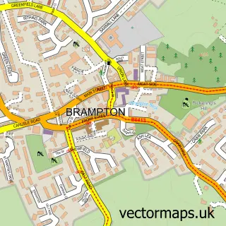
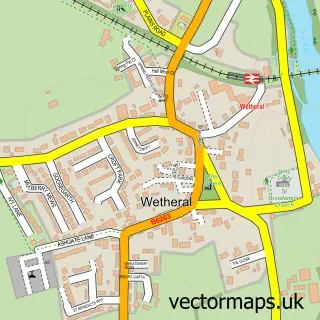
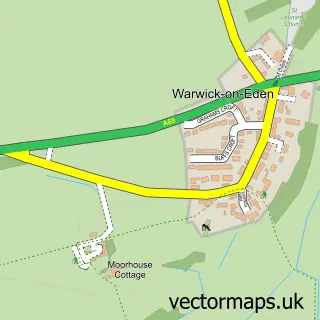
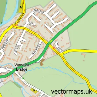
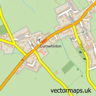
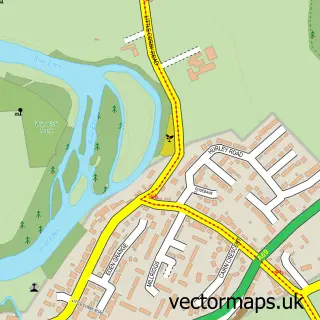
Nearby street map samples around Great Corby


More street maps in Cumbria
750 metre map area coverage
Boundary, postcode and point of interest information for the 750m x 750m rectangle centred on this sample map.
Boundaries containing map centre
Constituency: Carlisle Co Const
District: Cumberland
Icb: NHS North East and North Cumbria ICB
Parish: Wetheral CP
Police Force: cumbria
Postcode District: CA4
Postcode Sector: CA4 8
Ward: Corby and Hayton Ward
Nearby boundaries intersecting sample
Ward: Wetheral Ward
Postcode coverage
POI category counts
Castle: 1
Education: 1
Elementary School: 1
Kitchen Supply Store: 1
Landscaping: 1
Meditation Center: 1
Restaurant: 1
Sports Club And League: 1
Topic Publisher: 1
Sample points of interest
- Corby Castle
- Great Corby School
- Great Corby Primary School
- Border Cookers
- Drive Revive Cumbria
- Jean James Therapies
- The Queen Inn Great Corby
- Linton Bowling Club
- Village Link Carlisle
Create a larger editable map of Great Corby
This sample shows only a 750 metre area. To create a larger map of Great Corby, use our map builder to choose your own coverage area, add titles and download editable SVG, PDF and PNG files.
Create a custom map of Great Corby