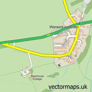
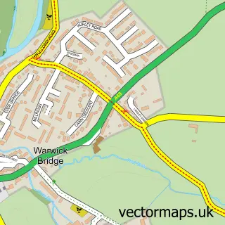
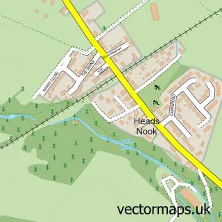
This Warwick-on-Eden street map is a detailed vector street map covering a 750m x 750m area. Select a larger area to create and download your own vector street map of Warwick-on-Eden.
The 750-metre map sample for Warwick-on-Eden covers 79 mapped buildings and approximately 11.1 km of road detail, of which 3 named roads are named. The immediate area includes 1 MOT station within 2 miles. The wider area around Warwick-on-Eden features 2 hotels. To create a larger or custom map of Warwick-on-Eden, the map builder lets you define your own coverage area and download editable SVG, PDF and PNG files.
Create a larger editable map of Warwick-on-Eden
Choose any area you need and generate a high-quality vector map instantly. Perfect for print, planning, design, business and personal use.

This Warwick-on-Eden street map in Cumbria is available as downloadable SVG, PDF and PNG map files, or as a printed map for planning, business, display, education, local information and design work. You can also create a larger custom map area using the map selector.
What this Warwick-on-Eden map sample shows
Warwick-on-Eden lies within Wetheral Cp parish, part of Wetheral & Corby ward in the Cumberland local authority area. The postcode geography for this area includes the CA postcode area, the CA4 postcode district and the CA4 8 postcode sector. Residents fall under the Nhs North East And North Cumbria Integrated Care Board for NHS services.
Local features near Warwick-on-Eden
Within 2 milesAmenities and services in and around Warwick-on-Eden.
Administrative and postcode information for Warwick-on-Eden
The local authority covering Warwick-on-Eden is Cumberland, within the county of Cumbria. The settlement lies within Wetheral & Corby ward and Wetheral Cp civil parish. The CA4 postcode district and CA4 8 postcode sector serve the immediate area. NHS provision in the area is delivered through North Cumbria Integrated Care Nhs Foundation Trust.
Nearby street map samples around Warwick-on-Eden
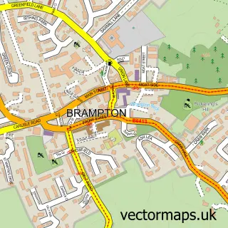

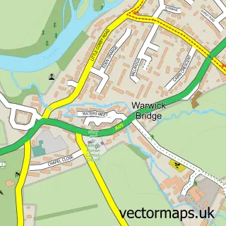
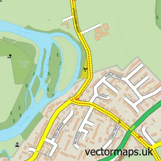
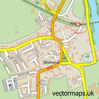
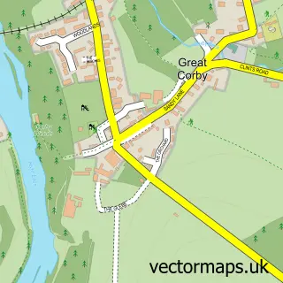
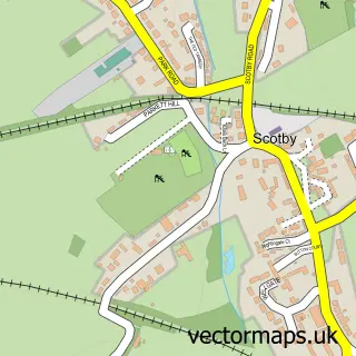
More street maps in Cumbria
750 metre map area coverage
Boundary, postcode and point of interest information for the 750m x 750m rectangle centred on this sample map.
Boundaries containing map centre
Constituency: Carlisle Co Const
District: Cumberland
Icb: NHS North East and North Cumbria ICB
Parish: Wetheral CP
Police Force: cumbria
Postcode District: CA4
Postcode Sector: CA4 8
Ward: Houghton and Irthington Ward
Nearby boundaries intersecting sample
Ward: Corby and Hayton Ward, Wetheral Ward
Postcode coverage
POI category counts
Hotel: 2
Building Supply Store: 1
Environmental Conservation And Ecological Organizations: 1
Sporting Goods: 1
Used Car Dealer: 1
Sample points of interest
- Treewise Solutions
- Rogers Geotechnical Services Ltd
- Warwick Hall
- Warwick Hall Country House Hotel
- Warwick hall- silver tourists
- Mark Forster Car & Van Sales
Create a larger editable map of Warwick-on-Eden
This sample shows only a 750 metre area. To create a larger map of Warwick-on-Eden, use our map builder to choose your own coverage area, add titles and download editable SVG, PDF and PNG files.
Create a custom map of Warwick-on-Eden