This Scotby street map is a detailed vector street map covering a 750m x 750m area. Select a larger area to create and download your own vector street map of Scotby.
The 750-metre map sample for Scotby covers 207 mapped buildings and approximately 9.7 km of road detail, of which 11 named roads are named. The immediate area includes 1 school, 1 GP surgery within 2 miles, 2 pubs and 12 MOT stations within 2 miles. The wider area around Scotby features 4 food and drink venues. To create a larger or custom map of Scotby, the map builder lets you define your own coverage area and download editable SVG, PDF and PNG files.
Create a larger editable map of Scotby
Choose any area you need and generate a high-quality vector map instantly. Perfect for print, planning, design, business and personal use.

This Scotby street map in Cumbria is available as downloadable SVG, PDF and PNG map files, or as a printed map for planning, business, display, education, local information and design work. You can also create a larger custom map area using the map selector.
What this Scotby map sample shows
Scotby lies within Wetheral Cp parish, part of Wetheral & Corby ward in the Cumberland local authority area. The postcode geography for this area includes the CA postcode area, the CA4 postcode district and the CA4 8 postcode sector. Residents fall under the Nhs North East And North Cumbria Integrated Care Board for NHS services.
Local features near Scotby
Within 2 milesAmenities and services in and around Scotby.
Administrative and postcode information for Scotby
The local authority covering Scotby is Cumberland, within the county of Cumbria. The settlement lies within Wetheral & Corby ward and Wetheral Cp civil parish. The CA4 postcode district and CA4 8 postcode sector serve the immediate area. NHS provision in the area is delivered through North Cumbria Integrated Care Nhs Foundation Trust.
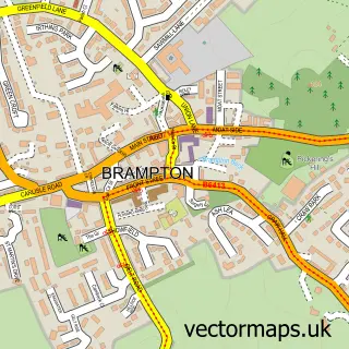
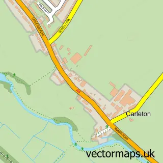
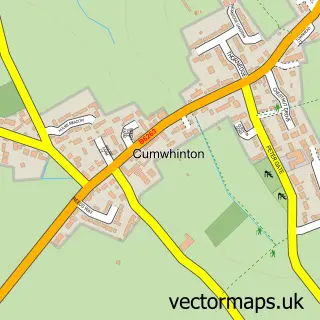
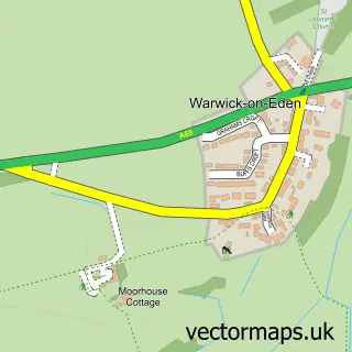
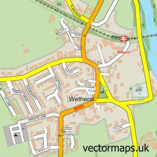
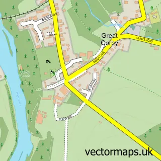
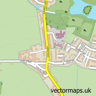
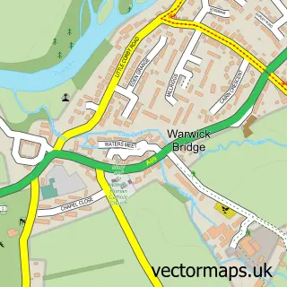
Nearby street map samples around Scotby


More street maps in Cumbria
750 metre map area coverage
Boundary, postcode and point of interest information for the 750m x 750m rectangle centred on this sample map.
Boundaries containing map centre
Constituency: Carlisle Co Const
District: Cumberland
Icb: NHS North East and North Cumbria ICB
Parish: Wetheral CP
Police Force: cumbria
Postcode District: CA4
Postcode Sector: CA4 8
Ward: Wetheral Ward
Nearby boundaries intersecting sample
No additional intersecting boundaries found.
Postcode coverage
POI category counts
Church Cathedral: 2
Pub: 2
Shipping Center: 2
Sports Club And League: 2
Anglican Church: 1
Bar: 1
Beauty Salon: 1
Business Consulting: 1
Ceiling Service: 1
Coffee Shop: 1
Sample points of interest
- All Saints' Church, Scotby
- Willowbeck Lodge Cumbria
- Tranquility by Donna Barron
- Q G Business Solutions
- R.W.L Roofing & Property Maintenance Cumbria
- All Saints Church
- SCC Parish Church - Scotby, Cotehill & Cumwhinton
- Scotby Coffee
- Scotby Village Hall
- Scotby CofE Primary School
- White Waters Hair Salon
- Anchor - Scotby Green Steading
Create a larger editable map of Scotby
This sample shows only a 750 metre area. To create a larger map of Scotby, use our map builder to choose your own coverage area, add titles and download editable SVG, PDF and PNG files.
Create a custom map of Scotby