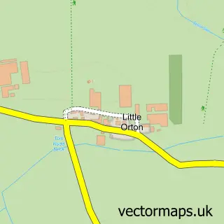
This Blackwell street map is a detailed vector street map covering a 750m x 750m area. Select a larger area to create and download your own vector street map of Blackwell.
The 750-metre map sample for Blackwell covers 205 mapped buildings and approximately 6.1 km of road detail, of which 12 named roads are named. The immediate area includes 5 GP surgeries within 2 miles and 23 MOT stations within 2 miles. The wider area around Blackwell features 2 tourism points of interest. To create a larger or custom map of Blackwell, the map builder lets you define your own coverage area and download editable SVG, PDF and PNG files.
Create a larger editable map of Blackwell
Choose any area you need and generate a high-quality vector map instantly. Perfect for print, planning, design, business and personal use.

This Blackwell street map in Cumbria is available as downloadable SVG, PDF and PNG map files, or as a printed map for planning, business, display, education, local information and design work. You can also create a larger custom map area using the map selector.
What this Blackwell map sample shows
Blackwell lies within Cumberland parish, part of Denton Holme & Morton South ward in the Cumberland local authority area. The postcode geography for this area includes the CA postcode area, the CA2 postcode district and the CA2 6 postcode sector. Residents fall under the Nhs North East And North Cumbria Integrated Care Board for NHS services.
Local features near Blackwell
Within 2 milesAmenities and services in and around Blackwell.
Administrative and postcode information for Blackwell
Blackwell lies within Cumberland parish, part of Denton Holme & Morton South ward in the Cumberland local authority area. The postcode geography for this area includes the CA postcode area, the CA2 postcode district and the CA2 6 postcode sector. Residents fall under the Nhs North East And North Cumbria Integrated Care Board for NHS services.
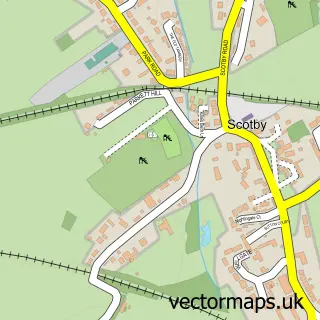
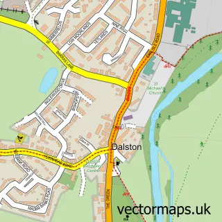
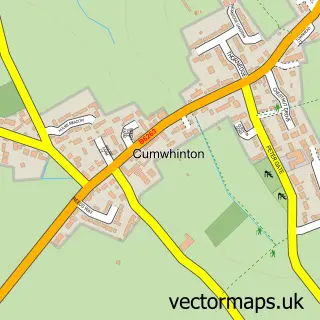
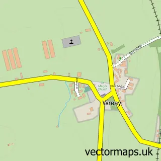
Nearby street map samples around Blackwell

More street maps in Cumbria
750 metre map area coverage
Boundary, postcode and point of interest information for the 750m x 750m rectangle centred on this sample map.
Boundaries containing map centre
Constituency: Penrith and Solway Co Const
District: Cumberland
Icb: NHS North East and North Cumbria ICB
Parish: St. Cuthbert Without CP
Police Force: cumbria
Postcode District: CA2
Postcode Sector: CA2 4
Ward: Wetheral Ward
Nearby boundaries intersecting sample
Constituency: Carlisle Co Const
Ward: Upperby Ward
Postcode coverage
POI category counts
Park: 2
Assisted Living Facility: 1
Beauty And Spa: 1
Carpenter: 1
Construction Services: 1
Cremation Services: 1
Hobby Shop: 1
Home Service: 1
Hospice: 1
Information Technology Company: 1
Sample points of interest
- Blackwell Vale Care Home
- Bronze Salons
- Crj Carpentry
- Simpsons The Builders
- Final Journey
- Lins Fabric Crafts
- Jigsaw, Cumbria's Children's Hospice
- Eden Valley Hospice
- Light Bulb Web Design Ltd.
- Carlisle Steel Supplies
- James Associates
- Carlisle Steel Supplies
Create a larger editable map of Blackwell
This sample shows only a 750 metre area. To create a larger map of Blackwell, use our map builder to choose your own coverage area, add titles and download editable SVG, PDF and PNG files.
Create a custom map of Blackwell