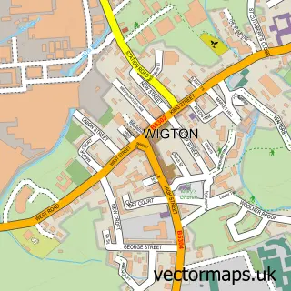
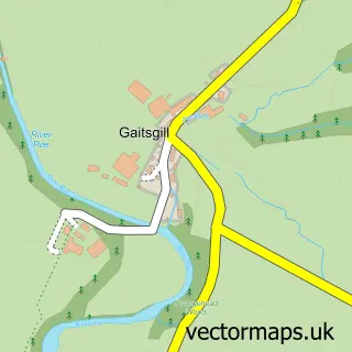
This Dalston street map is a detailed vector street map covering a 750m x 750m area. Select a larger area to create and download your own vector street map of Dalston.
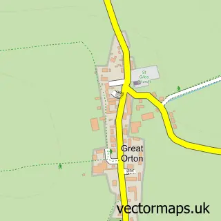
The 750-metre map sample for Dalston covers 280 mapped buildings and approximately 12.8 km of road detail, of which 21 named roads are named. The immediate area includes 1 primary school and 1 secondary school, 1 GP surgery, 1 pub and 3 MOT stations within 2 miles. The wider area around Dalston features 5 food and drink venues and 1 campsite within 2 miles. To create a larger or custom map of Dalston, the map builder lets you define your own coverage area and download editable SVG, PDF and PNG files.
Create a larger editable map of Dalston
Choose any area you need and generate a high-quality vector map instantly. Perfect for print, planning, design, business and personal use.

This Dalston street map in Cumbria is available as downloadable SVG, PDF and PNG map files, or as a printed map for planning, business, display, education, local information and design work. You can also create a larger custom map area using the map selector.
What this Dalston map sample shows
Dalston lies within Dalston Cp parish, part of Dalston & Burgh ward in the Cumberland local authority area. The postcode geography for this area includes the CA postcode area, the CA5 postcode district and the CA5 7 postcode sector. Residents fall under the Nhs North East And North Cumbria Integrated Care Board for NHS services.
Local features near Dalston
Within 2 milesAmenities and services in and around Dalston.
Administrative and postcode information for Dalston
Dalston lies within Dalston Cp parish, part of Dalston & Burgh ward in the Cumberland local authority area. The postcode geography for this area includes the CA postcode area, the CA5 postcode district and the CA5 7 postcode sector. Residents fall under the Nhs North East And North Cumbria Integrated Care Board for NHS services.
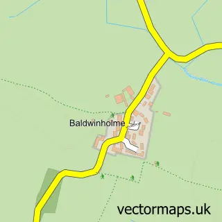
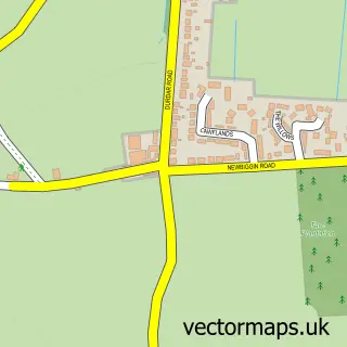
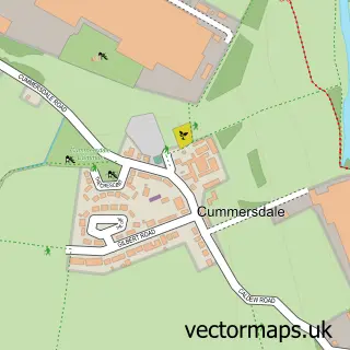
Nearby street map samples around Dalston

More street maps in Cumbria
750 metre map area coverage
Boundary, postcode and point of interest information for the 750m x 750m rectangle centred on this sample map.
Boundaries containing map centre
Constituency: Penrith and Solway Co Const
District: Cumberland
Icb: NHS North East and North Cumbria ICB
Parish: Dalston CP
Police Force: cumbria
Postcode District: CA5
Postcode Sector: CA5 7
Ward: Dalston and Burgh Ward
Nearby boundaries intersecting sample
No additional intersecting boundaries found.
Postcode coverage
POI category counts
Bridal Shop: 3
Automotive Repair: 2
Bank Credit Union: 2
Cafe: 2
Coffee Shop: 2
Doctor: 2
Hair Salon: 2
School: 2
Shipping Center: 2
Active Life: 1
Sample points of interest
- Dalston Green Equestrian
- St Michael
- Dalston Village Festival
- M Tech Auto Engineers
- mtech auto engineers ltd
- Cumberland Building Society
- The Cumberland
- Holistic Health & Beauty Therapies
- King's Hair Studio
- Five Senses Hideaway
- Mystery Cycles
- Catherine Paige Bridal
Create a larger editable map of Dalston
This sample shows only a 750 metre area. To create a larger map of Dalston, use our map builder to choose your own coverage area, add titles and download editable SVG, PDF and PNG files.
Create a custom map of Dalston