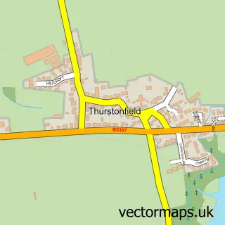
This Thursby street map is a detailed vector street map covering a 750m x 750m area. Select a larger area to create and download your own vector street map of Thursby.
The 750-metre map sample for Thursby covers 272 mapped buildings and approximately 13.4 km of road detail, of which 16 named roads are named. The immediate area includes 1 school and 1 MOT station. The wider area around Thursby features 1 food and drink venue and 1 campsite within 2 miles. To create a larger or custom map of Thursby, the map builder lets you define your own coverage area and download editable SVG, PDF and PNG files.
Create a larger editable map of Thursby
Choose any area you need and generate a high-quality vector map instantly. Perfect for print, planning, design, business and personal use.

This Thursby street map in Cumbria is available as downloadable SVG, PDF and PNG map files, or as a printed map for planning, business, display, education, local information and design work. You can also create a larger custom map area using the map selector.
What this Thursby map sample shows
Thursby lies within Thursby Cp parish, part of Marsh & Wampool ward in the Cumberland local authority area. The postcode geography for this area includes the CA postcode area, the CA5 postcode district and the CA5 6 postcode sector. Residents fall under the Nhs North East And North Cumbria Integrated Care Board for NHS services.
Local features near Thursby
Within 2 milesAmenities and services in and around Thursby.
Administrative and postcode information for Thursby
Thursby lies within Thursby Cp parish, part of Marsh & Wampool ward in the Cumberland local authority area. The postcode geography for this area includes the CA postcode area, the CA5 postcode district and the CA5 6 postcode sector. Residents fall under the Nhs North East And North Cumbria Integrated Care Board for NHS services.
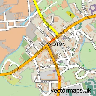
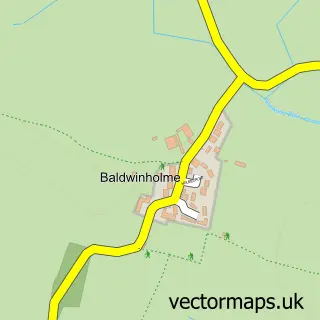
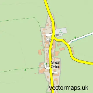
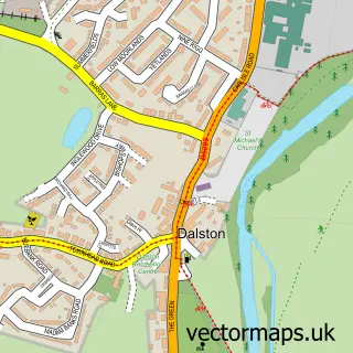
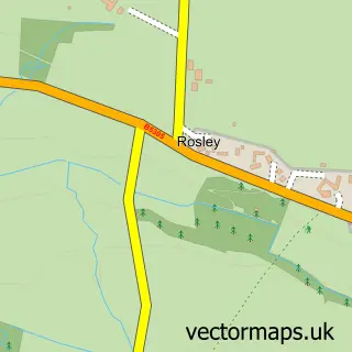
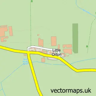
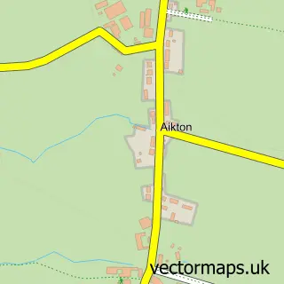
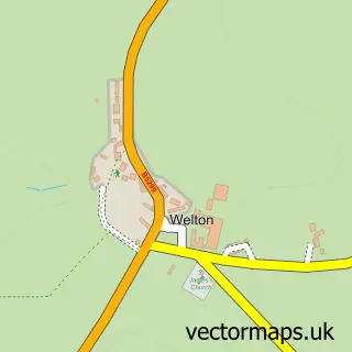
Nearby street map samples around Thursby

More street maps in Cumbria
750 metre map area coverage
Boundary, postcode and point of interest information for the 750m x 750m rectangle centred on this sample map.
Boundaries containing map centre
Constituency: Penrith and Solway Co Const
District: Cumberland
Icb: NHS North East and North Cumbria ICB
Parish: Thursby CP
Police Force: cumbria
Postcode District: CA5
Postcode Sector: CA5 6
Ward: Thursby Ward
Nearby boundaries intersecting sample
No additional intersecting boundaries found.
Postcode coverage
POI category counts
Car Dealer: 3
Anglican Church: 1
Bike Repair Maintenance: 1
Building Supply Store: 1
Childrens Clothing Store: 1
Chiropractor: 1
Community Center: 1
Farm: 1
Painting: 1
Post Office: 1
Sample points of interest
- St Andrew
- Backstreet Bicycle Shop
- Paint & Paper
- C a 2 Cars
- CA2 Specialist Cars
- Steve Watson Cars
- Cotton Baby
- Body Logic Chiropractic
- Thursby Parish Hall
- Evening Holsteins
- Pro Painting Solutions
- Thursby Post Office
Create a larger editable map of Thursby
This sample shows only a 750 metre area. To create a larger map of Thursby, use our map builder to choose your own coverage area, add titles and download editable SVG, PDF and PNG files.
Create a custom map of Thursby