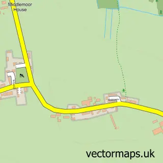
This Wigton street map is a detailed vector street map covering a 750m x 750m area. Select a larger area to create and download your own vector street map of Wigton.
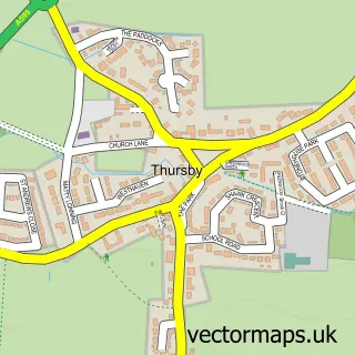
The 750-metre map sample for Wigton covers 314 mapped buildings and approximately 14.5 km of road detail, of which 38 named roads are named. The immediate area includes 1 primary school and 1 secondary school, 1 GP surgery within 2 miles, 3 pubs and 3 MOT stations, with 6 within 2 miles. The wider area around Wigton features 1 tourism point of interest, 12 food and drink venues and 3 hotels. To create a larger or custom map of Wigton, the map builder lets you define your own coverage area and download editable SVG, PDF and PNG files.
Create a larger editable map of Wigton
Choose any area you need and generate a high-quality vector map instantly. Perfect for print, planning, design, business and personal use.

This Wigton street map in Cumbria is available as downloadable SVG, PDF and PNG map files, or as a printed map for planning, business, display, education, local information and design work. You can also create a larger custom map area using the map selector.
What this Wigton map sample shows
Wigton lies within Wigton Cp parish, part of Wigton & Woodside ward in the Cumberland local authority area. The postcode geography for this area includes the CA postcode area, the CA7 postcode district and the CA7 9 postcode sector. Residents fall under the Nhs North East And North Cumbria Integrated Care Board for NHS services.
Local features near Wigton
Within 2 milesAmenities and services in and around Wigton.
Administrative and postcode information for Wigton
Wigton lies within Wigton Cp parish, part of Wigton & Woodside ward in the Cumberland local authority area. The postcode geography for this area includes the CA postcode area, the CA7 postcode district and the CA7 9 postcode sector. Residents fall under the Nhs North East And North Cumbria Integrated Care Board for NHS services.
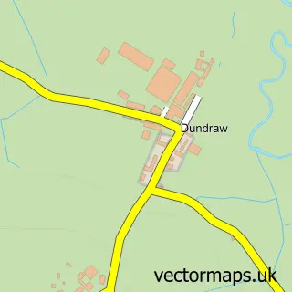
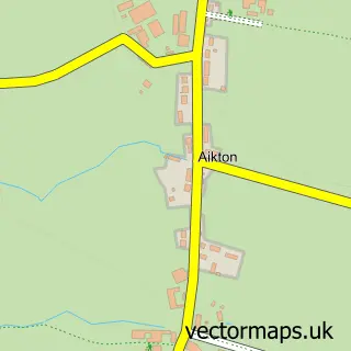
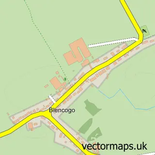
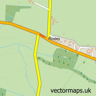
Nearby street map samples around Wigton

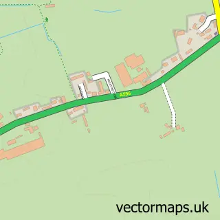
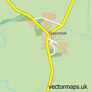
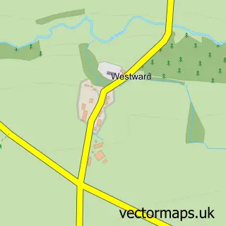
More street maps in Cumbria
750 metre map area coverage
Boundary, postcode and point of interest information for the 750m x 750m rectangle centred on this sample map.
Boundaries containing map centre
Constituency: Penrith and Solway Co Const
District: Cumberland
Icb: NHS North East and North Cumbria ICB
Parish: Wigton CP
Police Force: cumbria
Postcode District: CA7
Postcode Sector: CA7 9
Ward: Wigton Ward
Nearby boundaries intersecting sample
No additional intersecting boundaries found.
Postcode coverage
POI category counts
Beauty Salon: 12
Hair Salon: 7
Banks: 5
Flowers And Gifts Shop: 5
Butcher Shop: 4
Cafe: 4
Dentist: 4
Pet Store: 4
Restaurant: 4
Shopping: 4
Sample points of interest
- Arlosh Graphics
- Hellerwork Structural Integration
- St Mary
- The Fountain Gallery
- Woolsty Crafts
- The Laal Collective CIC
- The Cooperative Food (BF) Wigton
- Hope'S Estate Agents
- Brookside Garage
- Unipart Car Care Centre
- Wigton Tyres 2 U
- A Fell Mot Centre
Create a larger editable map of Wigton
This sample shows only a 750 metre area. To create a larger map of Wigton, use our map builder to choose your own coverage area, add titles and download editable SVG, PDF and PNG files.
Create a custom map of Wigton