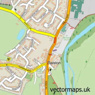
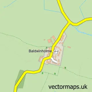
This Cummersdale street map is a detailed vector street map covering a 750m x 750m area. Select a larger area to create and download your own vector street map of Cummersdale.
The 750-metre map sample for Cummersdale covers 85 mapped buildings and approximately 4.7 km of road detail, of which 5 named roads are named. The immediate area includes 1 school, 4 GP surgeries within 2 miles, 2 pubs and 22 MOT stations within 2 miles. The wider area around Cummersdale features 2 food and drink venues. To create a larger or custom map of Cummersdale, the map builder lets you define your own coverage area and download editable SVG, PDF and PNG files.
Create a larger editable map of Cummersdale
Choose any area you need and generate a high-quality vector map instantly. Perfect for print, planning, design, business and personal use.

This Cummersdale street map in Cumbria is available as downloadable SVG, PDF and PNG map files, or as a printed map for planning, business, display, education, local information and design work. You can also create a larger custom map area using the map selector.
What this Cummersdale map sample shows
Cummersdale lies within Cumberland parish, part of Denton Holme & Morton South ward in the Cumberland local authority area. The postcode geography for this area includes the CA postcode area, the CA2 postcode district and the CA2 6 postcode sector. Residents fall under the Nhs North East And North Cumbria Integrated Care Board for NHS services.
Local features near Cummersdale
Within 2 milesAmenities and services in and around Cummersdale.
Administrative and postcode information for Cummersdale
Cummersdale lies within Cumberland parish, part of Denton Holme & Morton South ward in the Cumberland local authority area. The postcode geography for this area includes the CA postcode area, the CA2 postcode district and the CA2 6 postcode sector. Residents fall under the Nhs North East And North Cumbria Integrated Care Board for NHS services.
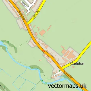
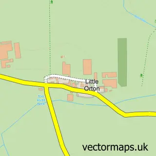
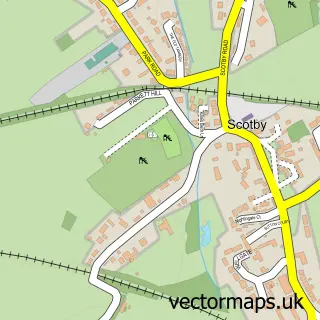
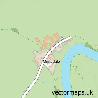
Nearby street map samples around Cummersdale

More street maps in Cumbria
750 metre map area coverage
Boundary, postcode and point of interest information for the 750m x 750m rectangle centred on this sample map.
Boundaries containing map centre
Constituency: Penrith and Solway Co Const
District: Cumberland
Icb: NHS North East and North Cumbria ICB
Parish: Cummersdale CP
Police Force: cumbria
Postcode District: CA2
Postcode Sector: CA2 6
Ward: Dalston and Burgh Ward
Nearby boundaries intersecting sample
Constituency: Carlisle Co Const
Ward: Denton Holme Ward
Postcode coverage
POI category counts
Pub: 2
Community Services Non Profits: 1
Electrician: 1
Elementary School: 1
Jewelry Store: 1
Tree Services: 1
Sample points of interest
- Cummersdale Village Hall
- Shield Services
- Cummersdale School
- Cumbrian Designs
- Spinners Arms
- The Spinners Arms
- Eden Woodlands Consultants
Create a larger editable map of Cummersdale
This sample shows only a 750 metre area. To create a larger map of Cummersdale, use our map builder to choose your own coverage area, add titles and download editable SVG, PDF and PNG files.
Create a custom map of Cummersdale