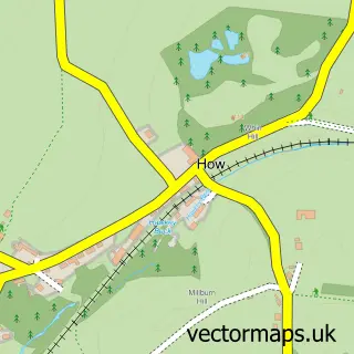
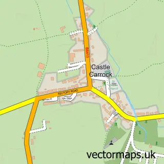
This Brampton street map is a detailed vector street map covering a 750m x 750m area. Select a larger area to create and download your own vector street map of Brampton.
The 750-metre map sample for Brampton covers 374 mapped buildings and approximately 16.6 km of road detail, of which 43 named roads are named. The immediate area includes 1 school, 1 GP surgery, 6 pubs and 1 MOT station within 2 miles. The wider area around Brampton features 3 tourism points of interest, 11 food and drink venues and 4 hotels. To create a larger or custom map of Brampton, the map builder lets you define your own coverage area and download editable SVG, PDF and PNG files.
Create a larger editable map of Brampton
Choose any area you need and generate a high-quality vector map instantly. Perfect for print, planning, design, business and personal use.

This Brampton street map in Cumbria is available as downloadable SVG, PDF and PNG map files, or as a printed map for planning, business, display, education, local information and design work. You can also create a larger custom map area using the map selector.
What this Brampton map sample shows
Brampton lies within Brampton Cp parish, part of Brampton & Fellside ward in the Cumberland local authority area. The postcode geography for this area includes the CA postcode area, the CA8 postcode district and the CA8 1 postcode sector. Residents fall under the Nhs North East And North Cumbria Integrated Care Board for NHS services.
Local features near Brampton
Within 2 milesAmenities and services in and around Brampton.
Administrative and postcode information for Brampton
The local authority covering Brampton is Cumberland, within the county of Cumbria. The settlement lies within Brampton & Fellside ward and Brampton Cp civil parish. The CA8 postcode district and CA8 1 postcode sector serve the immediate area. NHS provision in the area is delivered through North Cumbria Integrated Care Nhs Foundation Trust.
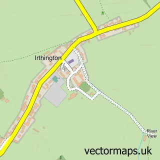
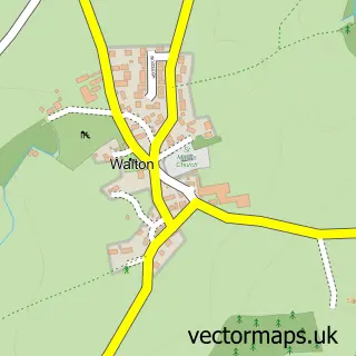
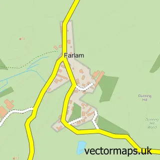
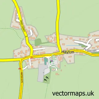
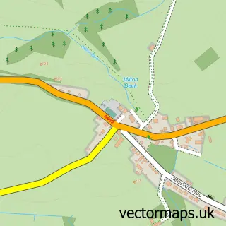
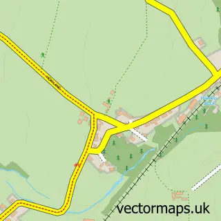
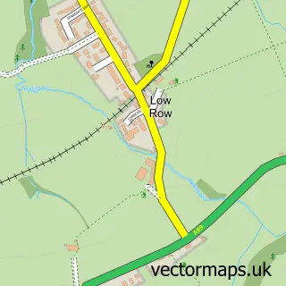
Nearby street map samples around Brampton

More street maps in Cumbria
750 metre map area coverage
Boundary, postcode and point of interest information for the 750m x 750m rectangle centred on this sample map.
Boundaries containing map centre
Constituency: Carlisle Co Const
District: Cumberland
Icb: NHS North East and North Cumbria ICB
Parish: Brampton CP
Police Force: cumbria
Postcode District: CA8
Postcode Sector: CA8 1
Ward: Brampton Ward
Nearby boundaries intersecting sample
No additional intersecting boundaries found.
Postcode coverage
POI category counts
Pub: 6
Beauty Salon: 5
Bed And Breakfast: 5
Church Cathedral: 4
Clothing Store: 4
Hotel: 4
Beauty And Spa: 3
Cafe: 3
Convenience Store: 3
Hair Salon: 3
Sample points of interest
- Brampton Bowling Club
- Natural Health Clinic
- Murray Pet Store
- Castle Vale Home Improvements
- Moat Antiques
- The Cumbrian Antiques Centre
- Border Cookers
- CAD Connections
- Castle Framing Ltd
- Gallery North West
- The Cooperative Food (BF) Brampton (ERF)
- Bee Baked
Create a larger editable map of Brampton
This sample shows only a 750 metre area. To create a larger map of Brampton, use our map builder to choose your own coverage area, add titles and download editable SVG, PDF and PNG files.
Create a custom map of Brampton