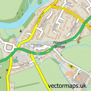
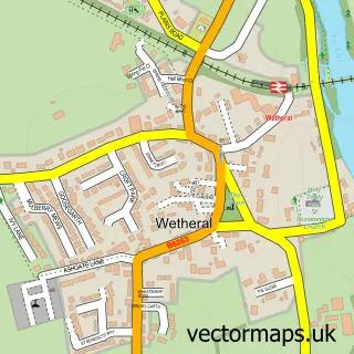
This Warwick street map is a detailed vector street map covering a 750m x 750m area. Select a larger area to create and download your own vector street map of Warwick.
The 750-metre map sample for Warwick covers 88 mapped buildings and approximately 6.7 km of road detail, of which 4 named roads are named. The immediate area includes 1 pub and 1 MOT station within 2 miles. The wider area around Warwick features 1 food and drink venue. To create a larger or custom map of Warwick, the map builder lets you define your own coverage area and download editable SVG, PDF and PNG files.
Create a larger editable map of Warwick
Choose any area you need and generate a high-quality vector map instantly. Perfect for print, planning, design, business and personal use.

This Warwick street map in Cumbria is available as downloadable SVG, PDF and PNG map files, or as a printed map for planning, business, display, education, local information and design work. You can also create a larger custom map area using the map selector.
What this Warwick map sample shows
Warwick lies within Wetheral Cp parish, part of Wetheral & Corby ward in the Cumberland local authority area. The postcode geography for this area includes the CA postcode area, the CA4 postcode district and the CA4 8 postcode sector. Residents fall under the Nhs North East And North Cumbria Integrated Care Board for NHS services.
Local features near Warwick
Within 2 milesAmenities and services in and around Warwick.
Administrative and postcode information for Warwick
Warwick lies within Wetheral Cp parish, part of Wetheral & Corby ward in the Cumberland local authority area. The postcode geography for this area includes the CA postcode area, the CA4 postcode district and the CA4 8 postcode sector. Residents fall under the Nhs North East And North Cumbria Integrated Care Board for NHS services.
Nearby street map samples around Warwick


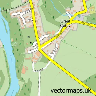
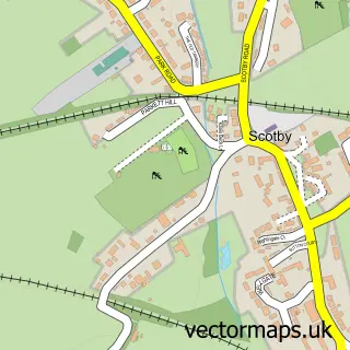
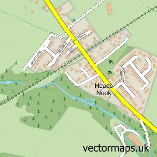
More street maps in Cumbria
750 metre map area coverage
Boundary, postcode and point of interest information for the 750m x 750m rectangle centred on this sample map.
Boundaries containing map centre
Constituency: Carlisle Co Const
District: Cumberland
Icb: NHS North East and North Cumbria ICB
Parish: Wetheral CP
Police Force: cumbria
Postcode District: CA4
Postcode Sector: CA4 8
Ward: Houghton and Irthington Ward
Nearby boundaries intersecting sample
Ward: Wetheral Ward
Postcode coverage
POI category counts
Home Health Care: 2
Building Supply Store: 1
Corporate Office: 1
Environmental Conservation And Ecological Organizations: 1
Golf Course: 1
Information Technology Company: 1
Inn: 1
Pub: 1
Used Car Dealer: 1
Sample points of interest
- Treewise Solutions
- Colourmedia
- Rogers Geotechnical Services Ltd
- Carlisle Golf Club
- Eleos Homecare Limited and Eden Care Lounge & Respite Centre
- Eleos Homecare Ltd.
- Sensible IT Solutions
- The Queens Arms
- Queens Arms Inn
- Mark Forster Car & Van Sales
Create a larger editable map of Warwick
This sample shows only a 750 metre area. To create a larger map of Warwick, use our map builder to choose your own coverage area, add titles and download editable SVG, PDF and PNG files.
Create a custom map of Warwick