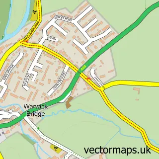
This Warwick Bridge street map is a detailed vector street map covering a 750m x 750m area. Select a larger area to create and download your own vector street map of Warwick Bridge.
The 750-metre map sample for Warwick Bridge covers 247 mapped buildings and approximately 14.1 km of road detail, of which 8 named roads are named. The immediate area includes 1 school and 1 pub. The wider area around Warwick Bridge features 2 food and drink venues and 1 hotel. To create a larger or custom map of Warwick Bridge, the map builder lets you define your own coverage area and download editable SVG, PDF and PNG files.
Create a larger editable map of Warwick Bridge
Choose any area you need and generate a high-quality vector map instantly. Perfect for print, planning, design, business and personal use.

This Warwick Bridge street map in Cumbria is available as downloadable SVG, PDF and PNG map files, or as a printed map for planning, business, display, education, local information and design work. You can also create a larger custom map area using the map selector.
What this Warwick Bridge map sample shows
Warwick Bridge lies within Hayton Cp parish, part of Wetheral & Corby ward in the Cumberland local authority area. The postcode geography for this area includes the CA postcode area, the CA4 postcode district and the CA4 8 postcode sector. Residents fall under the Nhs North East And North Cumbria Integrated Care Board for NHS services.
Local features near Warwick Bridge
Within 2 milesAmenities and services in and around Warwick Bridge.
Administrative and postcode information for Warwick Bridge
Warwick Bridge lies within Hayton Cp parish, part of Wetheral & Corby ward in the Cumberland local authority area. The postcode geography for this area includes the CA postcode area, the CA4 postcode district and the CA4 8 postcode sector. Residents fall under the Nhs North East And North Cumbria Integrated Care Board for NHS services.
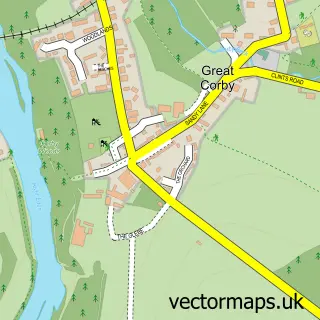
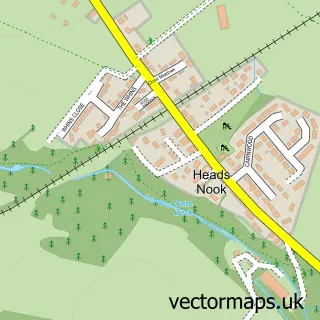
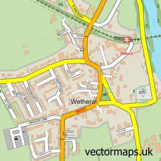
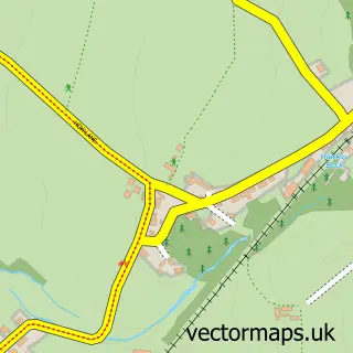
Nearby street map samples around Warwick Bridge


More street maps in Cumbria
750 metre map area coverage
Boundary, postcode and point of interest information for the 750m x 750m rectangle centred on this sample map.
Boundaries containing map centre
Constituency: Carlisle Co Const
District: Cumberland
Icb: NHS North East and North Cumbria ICB
Police Force: cumbria
Postcode District: CA4
Postcode Sector: CA4 8
Ward: Corby and Hayton Ward
Nearby boundaries intersecting sample
Parish: Hayton CP, Wetheral CP
Ward: Houghton and Irthington Ward
Postcode coverage
POI category counts
Convenience Store: 3
Building Supply Store: 2
Gardener: 2
Gas Station: 2
Professional Services: 2
Weight Loss Center: 2
Accommodation: 1
Accountant: 1
Arts And Crafts: 1
Atms: 1
Sample points of interest
- Holme Eden Gardens
- Marrs Accountancy
- Maire Curtis Bespoke Embroidery
- The Cooperative Food (BF) Warwick Bridge - Carlisle, Warwick Bridge
- We Buy Any Car Carlisle
- MGL Autocare
- Warwick Bridge Corn Mill
- The Salon at The Mill
- Brookside Bed & Breakfast
- Eliminate Ltd
- Ian Fisher Electrical
- Asbestos Audit Ltd.
Create a larger editable map of Warwick Bridge
This sample shows only a 750 metre area. To create a larger map of Warwick Bridge, use our map builder to choose your own coverage area, add titles and download editable SVG, PDF and PNG files.
Create a custom map of Warwick Bridge