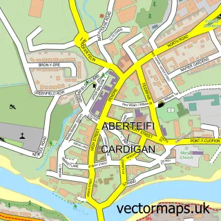
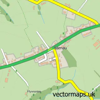
This Aberporth street map is a detailed vector street map covering a 750m x 750m area. Select a larger area to create and download your own vector street map of Aberporth.
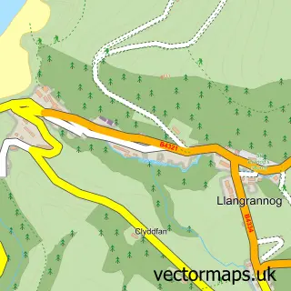
The 750-metre map sample for Aberporth covers 299 mapped buildings and approximately 10.1 km of road detail, of which 11 named roads are named. The immediate area includes 1 school, 2 pubs and 2 MOT stations within 2 miles. The wider area around Aberporth features 7 food and drink venues, 6 hotels and 2 campsites within 2 miles. To create a larger or custom map of Aberporth, the map builder lets you define your own coverage area and download editable SVG, PDF and PNG files.
Create a larger editable map of Aberporth
Choose any area you need and generate a high-quality vector map instantly. Perfect for print, planning, design, business and personal use.

This Aberporth street map in Dyfed is available as downloadable SVG, PDF and PNG map files, or as a printed map for planning, business, display, education, local information and design work. You can also create a larger custom map area using the map selector.
What this Aberporth map sample shows
Aberporth lies within Aberporth Community parish, part of Aberporth ward in the Sir Ceredigion - Ceredigion local authority area. The postcode geography for this area includes the SA postcode area, the SA43 postcode district and the SA43 2 postcode sector. Residents fall under the Hywel Dda University Health Board for NHS services.
Local features near Aberporth
Within 2 milesAmenities and services in and around Aberporth.
Administrative and postcode information for Aberporth
The local authority covering Aberporth is Sir Ceredigion - Ceredigion, within the county of Dyfed. The settlement lies within Aberporth ward and Aberporth Community civil parish. The SA43 postcode district and SA43 2 postcode sector serve the immediate area. NHS provision in the area is delivered through Hywel Dda University Health Board.
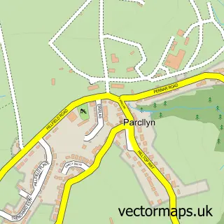
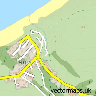
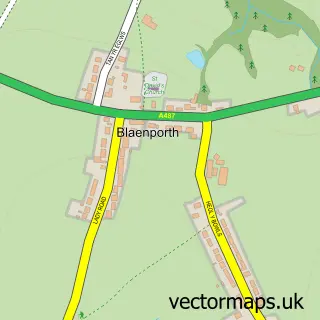
Nearby street map samples around Aberporth

More street maps in Dyfed
750 metre map area coverage
Boundary, postcode and point of interest information for the 750m x 750m rectangle centred on this sample map.
Boundaries containing map centre
Constituency: Ceredigion Preseli Co Const
District: Sir Ceredigion - Ceredigion
Icb: Hywel Dda
Parish: Aberporth Community
Police Force: dyfed-powys
Postcode District: SA43
Postcode Sector: SA43 2
Nearby boundaries intersecting sample
No additional intersecting boundaries found.
Postcode coverage
POI category counts
Hotel: 6
Beach: 4
Holiday Rental Home: 4
Indian Restaurant: 3
Cafe: 2
Chinese Restaurant: 2
Coffee Shop: 2
Cottage: 2
Pub: 2
Beauty Salon: 1
Sample points of interest
- Aberporth Holiday Cottages - Glanmordy
- Cwmtydu beach
- Holiday Cottages
- Traeth Dolwen
- K80's Beauty Spot
- Aberporth Holiday Cottage - Estyn y Mor
- Cwtch Glanmordy
- Watersedge Cafe
- Golden Dragon Chinese And Fish And Chips
- Golden Dragon House (Aberporth)
- Tarten coffi
- Waters edge Cafe
Create a larger editable map of Aberporth
This sample shows only a 750 metre area. To create a larger map of Aberporth, use our map builder to choose your own coverage area, add titles and download editable SVG, PDF and PNG files.
Create a custom map of Aberporth