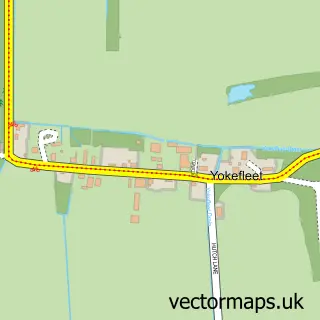
This Adlingfleet street map is a detailed vector street map covering a 750m x 750m area. Select a larger area to create and download your own vector street map of Adlingfleet.
The 750-metre map sample for Adlingfleet covers 83 mapped buildings and approximately 8.5 km of road detail, of which 5 named roads are named. To create a larger or custom map of Adlingfleet, the map builder lets you define your own coverage area and download editable SVG, PDF and PNG files.
Create a larger editable map of Adlingfleet
Choose any area you need and generate a high-quality vector map instantly. Perfect for print, planning, design, business and personal use.

This Adlingfleet street map in East Riding of Yorkshire is available as downloadable SVG, PDF and PNG map files, or as a printed map for planning, business, display, education, local information and design work. You can also create a larger custom map area using the map selector.
What this Adlingfleet map sample shows
Adlingfleet lies within Twin Rivers Cp parish, part of Snaith, Airmyn, Rawcliffe And Marshland ward in the East Riding Of Yorkshire local authority area. The postcode geography for this area includes the DN postcode area, the DN14 postcode district and the DN14 8 postcode sector. Residents fall under the Nhs Humber And North Yorkshire Integrated Care Board for NHS services.
Administrative and postcode information for Adlingfleet
Adlingfleet lies within Twin Rivers Cp parish, part of Snaith, Airmyn, Rawcliffe And Marshland ward in the East Riding Of Yorkshire local authority area. The postcode geography for this area includes the DN postcode area, the DN14 postcode district and the DN14 8 postcode sector. Residents fall under the Nhs Humber And North Yorkshire Integrated Care Board for NHS services.
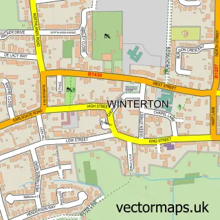
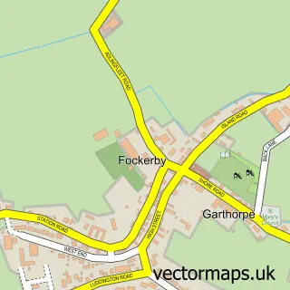
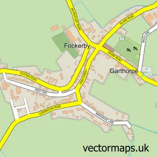
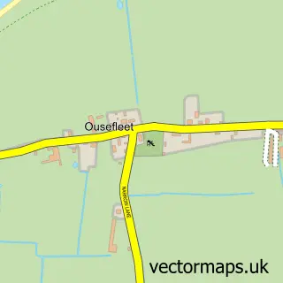
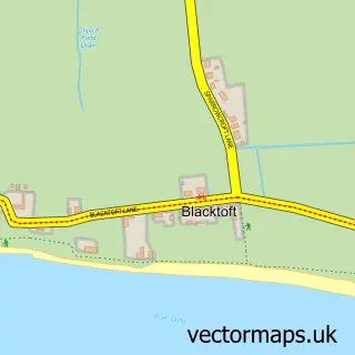
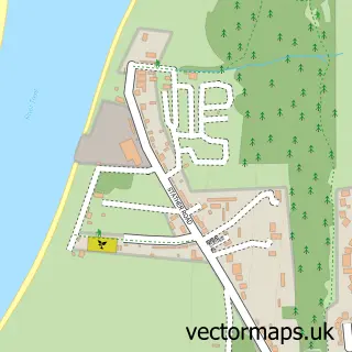
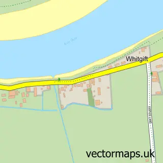
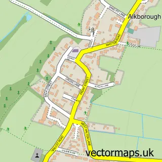
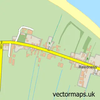
Nearby street map samples around Adlingfleet

More street maps in East Riding of Yorkshire
750 metre map area coverage
Boundary, postcode and point of interest information for the 750m x 750m rectangle centred on this sample map.
Boundaries containing map centre
Constituency: Goole and Pocklington Co Const
District: East Riding of Yorkshire
Icb: NHS Humber and North Yorkshire ICB
Parish: Twin Rivers CP
Police Force: humberside
Postcode District: DN14
Postcode Sector: DN14 8
Ward: Snaith, Airmyn, Rawcliffe and Marshland Ward
Nearby boundaries intersecting sample
Constituency: Doncaster East and the Isle of Axholme Co Const
District: North Lincolnshire (B)
Parish: Garthorpe and Fockerby CP
Postcode District: DN17
Postcode Sector: DN17 4
Ward: Axholme North Ward
Postcode coverage
POI category counts
Anglican Church: 1
Dog Walkers: 1
Hvac Services: 1
Sample points of interest
- Adlingfleet All Saints
- Issy's Dog Walking and Pet Care Services
- Barker Grimshaw Heating
Create a larger editable map of Adlingfleet
This sample shows only a 750 metre area. To create a larger map of Adlingfleet, use our map builder to choose your own coverage area, add titles and download editable SVG, PDF and PNG files.
Create a custom map of Adlingfleet