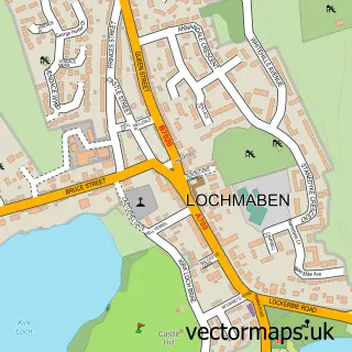
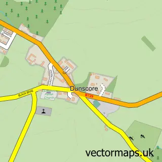
This Ae street map is a detailed vector street map covering a 750m x 750m area. Select a larger area to create and download your own vector street map of Ae.
The 750-metre map sample for Ae covers 52 mapped buildings and approximately 16.6 km of road detail, of which 2 named roads are named. The wider area around Ae features 2 tourism points of interest. To create a larger or custom map of Ae, the map builder lets you define your own coverage area and download editable SVG, PDF and PNG files.
Create a larger editable map of Ae
Choose any area you need and generate a high-quality vector map instantly. Perfect for print, planning, design, business and personal use.

This Ae street map in Dumfries is available as downloadable SVG, PDF and PNG map files, or as a printed map for planning, business, display, education, local information and design work. You can also create a larger custom map area using the map selector.
What this Ae map sample shows
Ae lies within Dumfries And Galloway parish, part of Lochar ward in the Dumfries And Galloway local authority area. The postcode geography for this area includes the DG postcode area, the DG1 postcode district and the DG1 1 postcode sector. Residents fall under the Dumfries And Galloway for NHS services.
Local features near Ae
Within 2 milesAmenities and services in and around Ae.
Administrative and postcode information for Ae
Ae lies within Dumfries And Galloway parish, part of Lochar ward in the Dumfries And Galloway local authority area. The postcode geography for this area includes the DG postcode area, the DG1 postcode district and the DG1 1 postcode sector. Residents fall under the Dumfries And Galloway for NHS services.
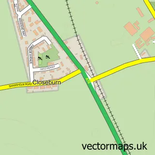
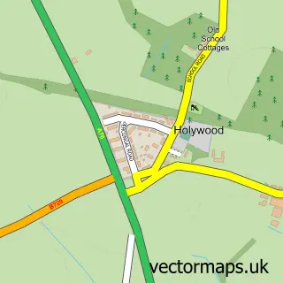
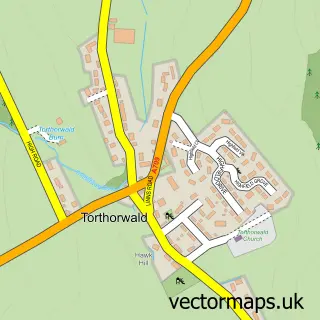
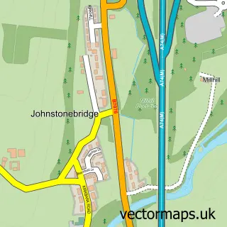
Nearby street map samples around Ae

More street maps in Dumfries
750 metre map area coverage
Boundary, postcode and point of interest information for the 750m x 750m rectangle centred on this sample map.
Boundaries containing map centre
Constituency: Dumfriesshire, Clydesdale and Tweeddale Co Const
District: Dumfries and Galloway
Icb: Dumfries and Galloway
Postcode District: DG1
Postcode Sector: DG1 1
Ward: Lochar Ward
Nearby boundaries intersecting sample
Postcode Sector: DG1 3
Postcode coverage
POI category counts
Attractions And Activities: 2
Elementary School: 2
Active Life: 1
Bicycle Shop: 1
Forest: 1
Sample points of interest
- 7stanes - Ae
- Ae 7stanes
- Ae Bikers Rest
- AE Bike Shop and Cafe
- Ae Primary School
- Ae Primary School
- Ae Forest
Create a larger editable map of Ae
This sample shows only a 750 metre area. To create a larger map of Ae, use our map builder to choose your own coverage area, add titles and download editable SVG, PDF and PNG files.
Create a custom map of Ae