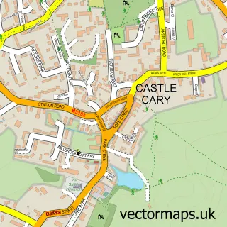
This Ansford street map is a detailed vector street map covering a 750m x 750m area. Select a larger area to create and download your own vector street map of Ansford.
The 750-metre map sample for Ansford covers 297 mapped buildings and approximately 11.2 km of road detail, of which 22 named roads are named. The immediate area includes 1 school, 1 GP surgery within 2 miles and 2 MOT stations within 2 miles. The wider area around Ansford features 1 campsite within 2 miles. To create a larger or custom map of Ansford, the map builder lets you define your own coverage area and download editable SVG, PDF and PNG files.
Create a larger editable map of Ansford
Choose any area you need and generate a high-quality vector map instantly. Perfect for print, planning, design, business and personal use.

This Ansford street map in Somerset is available as downloadable SVG, PDF and PNG map files, or as a printed map for planning, business, display, education, local information and design work. You can also create a larger custom map area using the map selector.
What this Ansford map sample shows
Ansford lies within Ansford Cp parish, part of Cary ward in the Somerset local authority area. The postcode geography for this area includes the BA postcode area, the BA7 postcode district and the BA7 7 postcode sector. Residents fall under the Nhs Somerset Integrated Care Board for NHS services.
Local features near Ansford
Within 2 milesAmenities and services in and around Ansford.
Administrative and postcode information for Ansford
Ansford lies within Ansford Cp parish, part of Cary ward in the Somerset local authority area. The postcode geography for this area includes the BA postcode area, the BA7 postcode district and the BA7 7 postcode sector. Residents fall under the Nhs Somerset Integrated Care Board for NHS services.
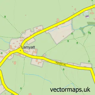
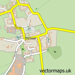
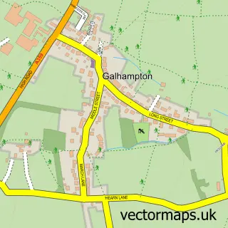
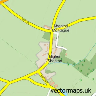
Nearby street map samples around Ansford


More street maps in Somerset
750 metre map area coverage
Boundary, postcode and point of interest information for the 750m x 750m rectangle centred on this sample map.
Boundaries containing map centre
Constituency: Glastonbury and Somerton Co Const
District: Somerset
Icb: NHS Somerset ICB
Parish: Ansford CP
Police Force: avon and somerset
Postcode District: BA7
Postcode Sector: BA7 7
Nearby boundaries intersecting sample
Parish: Castle Cary CP
Postcode coverage
POI category counts
Anglican Church: 1
Business Manufacturing And Supply: 1
Dance School: 1
Gents Tailor: 1
It Service And Computer Repair: 1
Key And Locksmith: 1
Naturopathic Holistic: 1
Party Supply: 1
Printing Services: 1
Professional Services: 1
Sample points of interest
- St Andrew's
- Chill-Out Somerset
- Paul Parsons Dance
- Embroidery Engineering Services
- P C & Network Support Services
- Anytime Locks
- Natural Harmony and Balance
- K & K Party & Play
- Vale Signs and Print
- Shanie Leanne Photography
- Castle Cary Pump Track
- Castle Cary Bowls Club
Create a larger editable map of Ansford
This sample shows only a 750 metre area. To create a larger map of Ansford, use our map builder to choose your own coverage area, add titles and download editable SVG, PDF and PNG files.
Create a custom map of Ansford