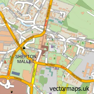
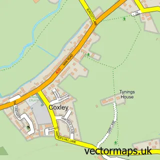
This Wells street map is a detailed vector street map covering a 750m x 750m area. Select a larger area to create and download your own vector street map of Wells.
The 750-metre map sample for Wells covers 249 mapped buildings and approximately 16.2 km of road detail, of which 35 named roads are named. The immediate area includes 2 schools, 2 GP surgeries within 2 miles, 11 pubs and 7 MOT stations within 2 miles. The wider area around Wells features 11 tourism points of interest, 42 food and drink venues and 7 hotels. To create a larger or custom map of Wells, the map builder lets you define your own coverage area and download editable SVG, PDF and PNG files.
Create a larger editable map of Wells
Choose any area you need and generate a high-quality vector map instantly. Perfect for print, planning, design, business and personal use.

This Wells street map in Somerset is available as downloadable SVG, PDF and PNG map files, or as a printed map for planning, business, display, education, local information and design work. You can also create a larger custom map area using the map selector.
What this Wells map sample shows
Wells lies within St. Cuthbert Out Cp parish, part of Croscombe And Pilton ward in the Somerset local authority area. The postcode geography for this area includes the BA postcode area, the BA5 postcode district and the BA5 3 postcode sector. Residents fall under the Nhs Somerset Integrated Care Board for NHS services.
Local features near Wells
Within 2 milesAmenities and services in and around Wells.
Administrative and postcode information for Wells
The local authority covering Wells is Somerset, within the county of Somerset. The settlement lies within Croscombe And Pilton ward and St. Cuthbert Out Cp civil parish. The BA5 postcode district and BA5 3 postcode sector serve the immediate area. NHS provision in the area is delivered through Royal United Hospitals Bath Nhs Foundation Trust.
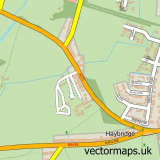
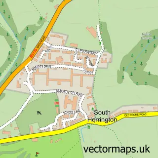
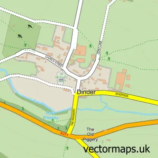
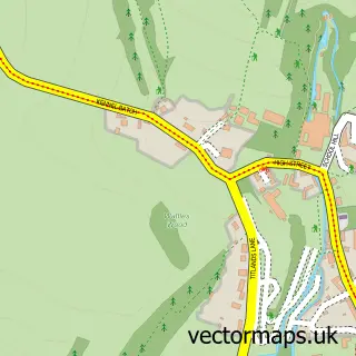
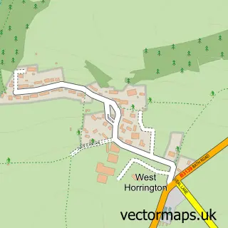
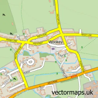
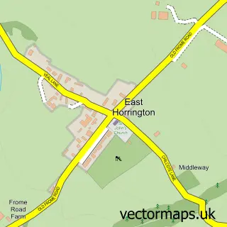
Nearby street map samples around Wells
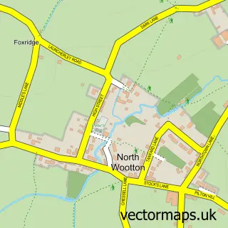
More street maps in Somerset
750 metre map area coverage
Boundary, postcode and point of interest information for the 750m x 750m rectangle centred on this sample map.
Boundaries containing map centre
Constituency: Wells and Mendip Hills Co Const
District: Somerset
Icb: NHS Somerset ICB
Parish: Wells CP
Police Force: avon and somerset
Postcode District: BA5
Postcode Sector: BA5 2
Nearby boundaries intersecting sample
Postcode Sector: BA5 1, BA5 3
Postcode coverage
POI category counts
Clothing Store: 16
Real Estate Agent: 15
Restaurant: 13
Cafe: 12
Pub: 11
Beauty Salon: 10
Flowers And Gifts Shop: 10
Accountant: 8
Retail: 8
Hotel: 7
Sample points of interest
- Arthur Croker
- Bishop Jones
- Chalmers HB
- Mendip Bookkeeping Ltd
- Payroll Specialists
- Probusiness Accountants
- Simmons Accountants
- Webb & Co
- Caravan Music Promotions
- Platform Communications
- Telperion Group
- The Finger on Pulse Research
Create a larger editable map of Wells
This sample shows only a 750 metre area. To create a larger map of Wells, use our map builder to choose your own coverage area, add titles and download editable SVG, PDF and PNG files.
Create a custom map of Wells