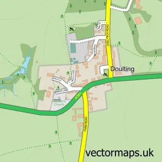
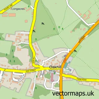
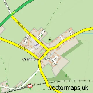
This Shepton Mallet street map is a detailed vector street map covering a 750m x 750m area. Select a larger area to create and download your own vector street map of Shepton Mallet.
The 750-metre map sample for Shepton Mallet covers 322 mapped buildings and approximately 18.1 km of road detail, of which 45 named roads are named. The immediate area includes 2 primary schools and 1 secondary school, 2 GP surgeries within 2 miles, 3 pubs and 2 MOT stations, with 5 within 2 miles. The wider area around Shepton Mallet features 6 tourism points of interest, 14 food and drink venues and 6 hotels. To create a larger or custom map of Shepton Mallet, the map builder lets you define your own coverage area and download editable SVG, PDF and PNG files.
Create a larger editable map of Shepton Mallet
Choose any area you need and generate a high-quality vector map instantly. Perfect for print, planning, design, business and personal use.

This Shepton Mallet street map in Somerset is available as downloadable SVG, PDF and PNG map files, or as a printed map for planning, business, display, education, local information and design work. You can also create a larger custom map area using the map selector.
What this Shepton Mallet map sample shows
Shepton Mallet lies within Shepton Mallet Cp parish, part of Shepton East ward in the Somerset local authority area. The postcode geography for this area includes the BA postcode area, the BA4 postcode district and the BA4 5 postcode sector. Residents fall under the Nhs Somerset Integrated Care Board for NHS services.
Local features near Shepton Mallet
Within 2 milesAmenities and services in and around Shepton Mallet.
Administrative and postcode information for Shepton Mallet
The local authority covering Shepton Mallet is Somerset, within the county of Somerset. The settlement lies within Shepton East ward and Shepton Mallet Cp civil parish. The BA4 postcode district and BA4 5 postcode sector serve the immediate area. NHS provision in the area is delivered through Royal United Hospitals Bath Nhs Foundation Trust.
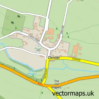
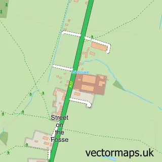
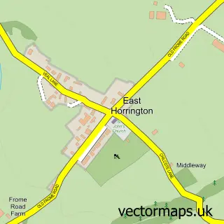
Nearby street map samples around Shepton Mallet

More street maps in Somerset
750 metre map area coverage
Boundary, postcode and point of interest information for the 750m x 750m rectangle centred on this sample map.
Boundaries containing map centre
Constituency: Wells and Mendip Hills Co Const
District: Somerset
Icb: NHS Somerset ICB
Parish: Shepton Mallet CP
Police Force: avon and somerset
Postcode District: BA4
Postcode Sector: BA4 5
Nearby boundaries intersecting sample
No additional intersecting boundaries found.
Postcode coverage
POI category counts
Beauty Salon: 9
Hair Salon: 9
Real Estate Agent: 9
Professional Services: 8
Hotel: 6
Clothing Store: 5
Furniture Store: 5
Landmark And Historical Building: 5
Bed And Breakfast: 4
Building Supply Store: 4
Sample points of interest
- BMG Accountancy Services
- Fraser & Co.
- Fraser-Powell Chartered Accountants
- Sarah's Marketing Creations
- Shepton Mallet Ambulance Station
- Anna's Attic
- Parkways Antique Dealers
- Somerset Antiques & Interiors
- One Craft Gallery
- Great Ostry Picture Framing
- The Hive
- Morrisons Daily - Shepton Mallet
Create a larger editable map of Shepton Mallet
This sample shows only a 750 metre area. To create a larger map of Shepton Mallet, use our map builder to choose your own coverage area, add titles and download editable SVG, PDF and PNG files.
Create a custom map of Shepton Mallet