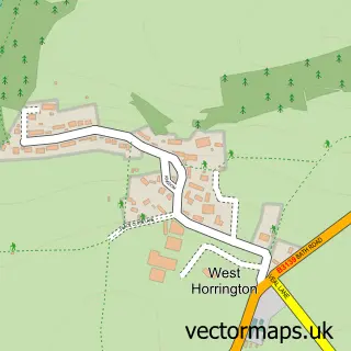
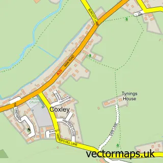
This Dinder street map is a detailed vector street map covering a 750m x 750m area. Select a larger area to create and download your own vector street map of Dinder.
The 750-metre map sample for Dinder covers 72 mapped buildings and approximately 7.8 km of road detail, of which 5 named roads are named. The immediate area includes 2 MOT stations within 2 miles. The wider area around Dinder features 1 hotel. To create a larger or custom map of Dinder, the map builder lets you define your own coverage area and download editable SVG, PDF and PNG files.
Create a larger editable map of Dinder
Choose any area you need and generate a high-quality vector map instantly. Perfect for print, planning, design, business and personal use.

This Dinder street map in Somerset is available as downloadable SVG, PDF and PNG map files, or as a printed map for planning, business, display, education, local information and design work. You can also create a larger custom map area using the map selector.
What this Dinder map sample shows
Dinder lies within St. Cuthbert Out Cp parish, part of Croscombe And Pilton ward in the Somerset local authority area. The postcode geography for this area includes the BA postcode area, the BA5 postcode district and the BA5 3 postcode sector. Residents fall under the Nhs Somerset Integrated Care Board for NHS services.
Local features near Dinder
Within 2 milesAmenities and services in and around Dinder.
Administrative and postcode information for Dinder
The local authority covering Dinder is Somerset, within the county of Somerset. The settlement lies within Croscombe And Pilton ward and St. Cuthbert Out Cp civil parish. The BA5 postcode district and BA5 3 postcode sector serve the immediate area. NHS provision in the area is delivered through Royal United Hospitals Bath Nhs Foundation Trust.
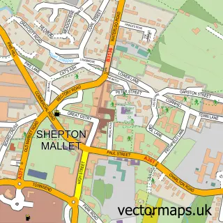
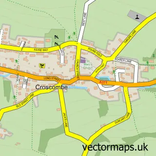
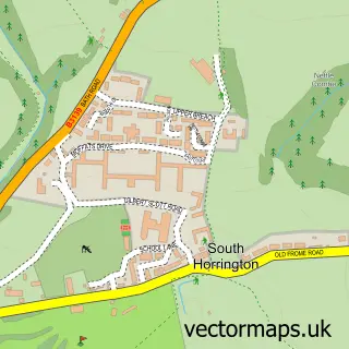
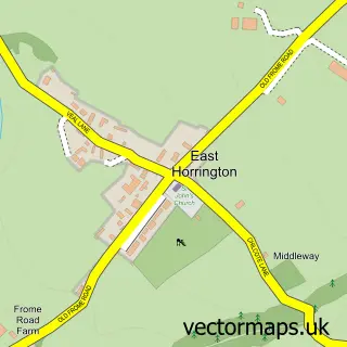
Nearby street map samples around Dinder

More street maps in Somerset
750 metre map area coverage
Boundary, postcode and point of interest information for the 750m x 750m rectangle centred on this sample map.
Boundaries containing map centre
Constituency: Wells and Mendip Hills Co Const
District: Somerset
Icb: NHS Somerset ICB
Parish: St. Cuthbert Out CP
Police Force: avon and somerset
Postcode District: BA5
Postcode Sector: BA5 3
Nearby boundaries intersecting sample
No additional intersecting boundaries found.
Postcode coverage
POI category counts
Accountant: 1
Anglican Church: 1
Bed And Breakfast: 1
Education: 1
Hotel: 1
Sample points of interest
- Spur Support Services
- Dinder: St Michael & All Angels
- The Coach House
- Grow My Salon Business
- The Coach House
Create a larger editable map of Dinder
This sample shows only a 750 metre area. To create a larger map of Dinder, use our map builder to choose your own coverage area, add titles and download editable SVG, PDF and PNG files.
Create a custom map of Dinder